Boswell Topo Map Online
Download Free Topo Map Sheet 082F07 at 1:50,000 scale
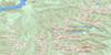
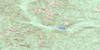
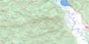
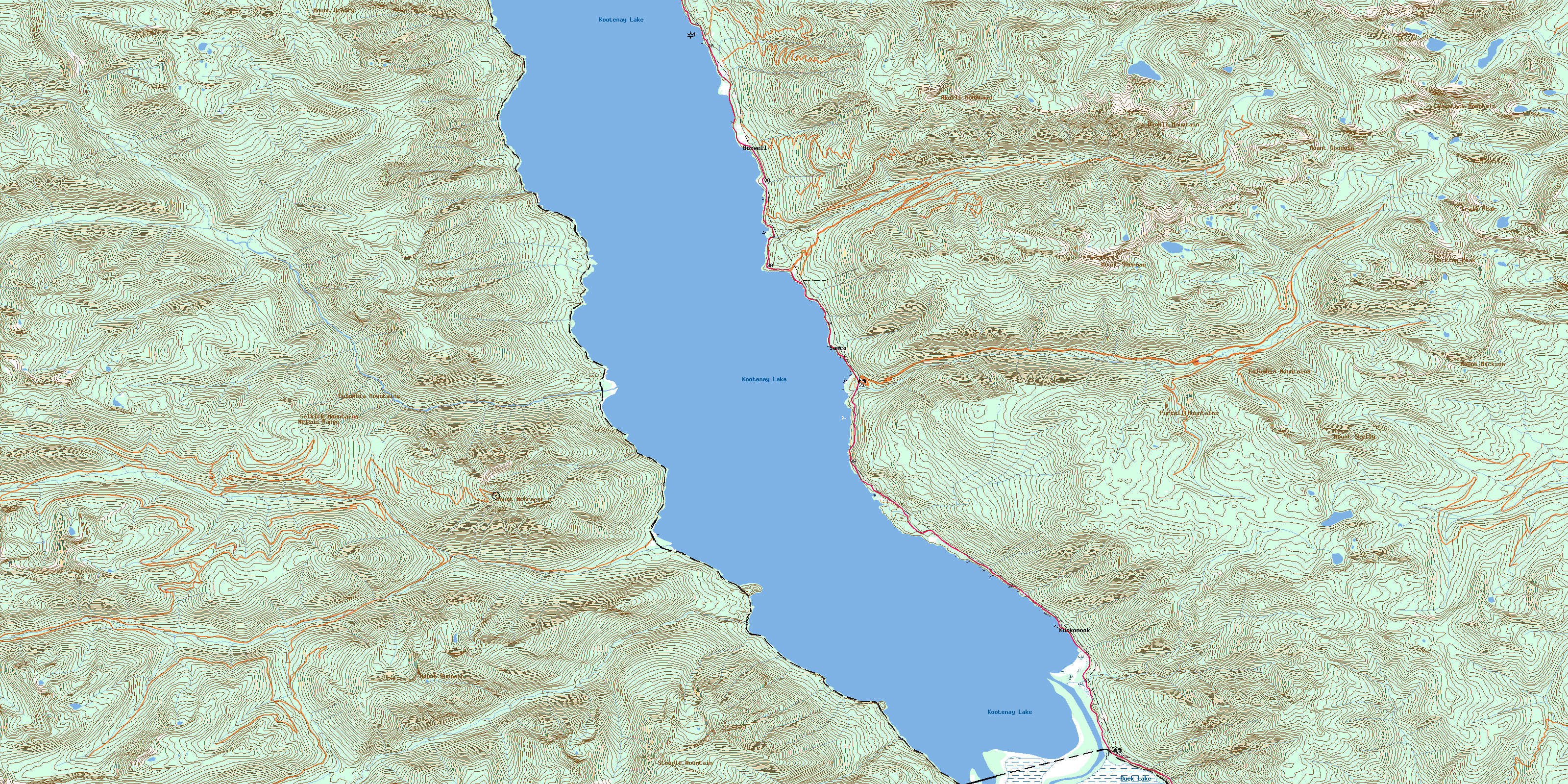
082F07 Boswell Topo Map
To view this map, mouse over the map preview on the right.
You can also download this topo map for free:
082F07 Boswell high-resolution topo map image.
Maps for the Boswell topo map sheet 082F07 at 1:50,000 scale are also available in these versions:
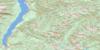
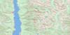
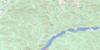
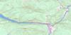
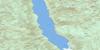
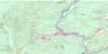
Boswell Surrounding Area Topo Maps
 |
 |
 |
 |
 |
 |
 |
 |
 |
 |
 |
 |
 |
 |
 |
 |
© Department of Natural Resources Canada. All rights reserved.
Boswell Gazetteer
The following places can be found on topographic map sheet 082F07 Boswell:
Boswell Topo Map: Bays
Destiny BayTwin Bays
Boswell Topo Map: Capes
Columbia PointRedman Point
Rhinoceros Point
Boswell Topo Map: Islands
Goat IsletBoswell Topo Map: Lakes
Duck LakeKootenay Lake
Six Mile Slough
Sixmile Slough
Boswell Topo Map: Mountains
Akokli MountainColumbia Mountains
Craig Peak
Haystack Mountain
Jackson Peak
Mount Burnett
Mount Davie
Mount Dickson
Mount Drewry
Mount Goodwin
Mount McGregor
Mount Sherman
Mount Skelly
Nelson Range
Purcell Mountains
Selkirk Mountains
Steeple Mountain
Boswell Topo Map: Major municipal/district area - major agglomerations
Regional District of East KootenayBoswell Topo Map: Conservation areas
Drewry Point ParkKootenay Lake Park
Kootenay Lake Recreation Area
Kuskonook Park
Lockhart Creek Park
Boswell Topo Map: Rivers
Akokli CreekBoulder Creek
Charles Creek
Conway Creek
Cory Creek
Cultus Creek
Duck Creek
East Branch Kootenay River
Ginol Creek
Heather Creek
Holiday Creek
Hughes Creek
Jansen Creek
Jock Creek
Junice Creek
Kianuko Creek
Kloosh Creek
Kootenay River
Kuskonook Creek
Kutetl Creek
Laib Creek
Lockhart Creek
Longueval Creek
Martell Creek
McGregor Creek
Meachen Creek
Midge Creek
Next Creek
Redding Creek
Sanca Creek
Seeman Creek
Shaw Creek
Sirdar Creek
Skelly Creek
Squaw Creek
Tungsten Creek
Twin Bays Creek
Val Creek
Wilson Creek
Boswell Topo Map: Unincorporated areas
BayonneBoswell
Drewry
Ginols Landing
Kootenay Landing
Kuskonook
McGregor
Midge Creek
Sanca
Tye
© Department of Natural Resources Canada. All rights reserved.
