Kokanee Peak Topo Map Online
Download Free Topo Map Sheet 082F11 at 1:50,000 scale
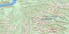
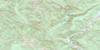
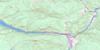
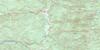
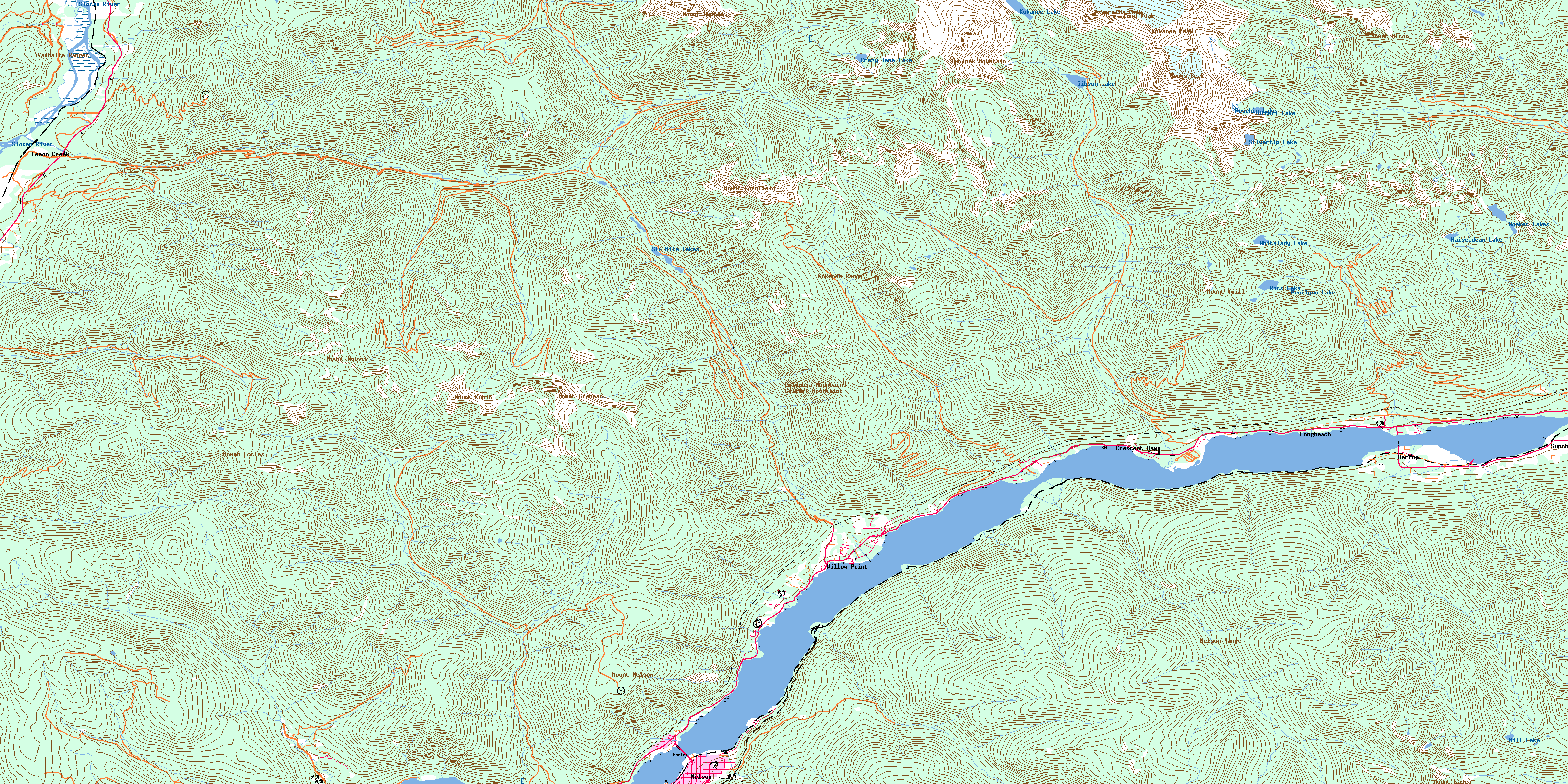
082F11 Kokanee Peak Topo Map
To view this map, mouse over the map preview on the right.
You can also download this topo map for free:
082F11 Kokanee Peak high-resolution topo map image.
Maps for the Kokanee Peak topo map sheet 082F11 at 1:50,000 scale are also available in these versions:
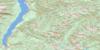
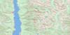
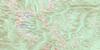
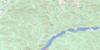
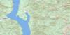
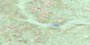
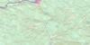
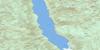
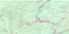
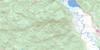
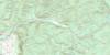
Kokanee Peak Surrounding Area Topo Maps
 |
 |
 |
 |
 |
 |
 |
 |
 |
 |
 |
 |
 |
 |
 |
 |
© Department of Natural Resources Canada. All rights reserved.
Kokanee Peak Gazetteer
The following places can be found on topographic map sheet 082F11 Kokanee Peak:
Kokanee Peak Topo Map: Bays
Crescent BayRoberts Bay
Sunshine Bay
West Arm
Kokanee Peak Topo Map: Capes
Bealbys PointCedar Point
Five Mile Point
Fivemile Point
Harrop Point
Kokanee Point
Seven Mile Point
Shannon Point
Willow Point
Kokanee Peak Topo Map: Channels
Fraser NarrowsHarrop Narrows
Kokanee Narrows
Nine Mile Narrows
Ninemile Narrows
Kokanee Peak Topo Map: City
NelsonKokanee Peak Topo Map: Glaciers
Kokanee GlacierKokanee Peak Topo Map: Lakes
Crazy Jane LakeGibson Lake
Haiseldean Lake
Hazeldean Lake
Kokanee Lake
Kootenay Lake
Mill Lake
Noakes Lake
Noakes Lakes
Oltedi Lake
Penilynn Lake
Rosehip Lake
Ross Lake
Silvertip Lake
Six Mile Lakes
Whitelady Lake
Kokanee Peak Topo Map: Mountains
Carlolson MountainColumbia Mountains
Cond Peak
Esmeralda Peak
Grays Peak
Humpback Ridge
Kokanee Peak
Kokanee Range
Mount Cornfield
Mount Eccles
Mount Ferguson
Mount Grohman
Mount Hoover
Mount John Carter
Mount Kubin
Mount Lasca
Mount Nelson
Mount Olson
Mount Peters
Mount Ruppel
Mount Yuill
Nelson Range
Olson Mountain
Outlook Mountain
Selkirk Mountains
Slocan Ranges
Sunset Mountain
Valhalla Mountains
Valhalla Range
Valhalla Ranges
Kokanee Peak Topo Map: Conservation areas
James Johnstone ParkKokanee Creek Park
Kokanee Glacier Park
Kokanee Glacier Recreation Area
West Arm Park
Kokanee Peak Topo Map: Plains
Crusader FlatsKokanee Peak Topo Map: Rivers
Alpine CreekAlyeo Creek
Anderson Creek
Baldface Creek
Bose Creek
Bossuet Creek
Bradley Creek
Brogan Creek
Busk Creek
Cameronian Creek
Carlolson Creek
Chapleau Creek
Cheops Creek
Christian Creek
Coffee Creek
Crusader Creek
Crystal Creek
Donegal Creek
Duhamel Creek
Eight Mile Creek
Eightmile Creek
Elliott Creek
Falls Creek
Fell Creek
Five Mile Creek
Fivemile Creek
Foster Creek
Four Mile Creek
Garrity Creek
Grohman Creek
Harrop Creek
Hermitage Creek
Jackson Creek
Kokanee Creek
Laird Creek
Lasca Creek
Lemon Creek
McGuire Creek
Mineral Creek
Monument Creek
Mulvey Creek
Nilsik Creek
Olson Creek
Perry Creek
Popoff Creek
Redfish Creek
Ringrose Creek
Rixen Creek
Rucks Creek
Shannon Creek
Sitkum Creek
Slater Creek
Slocan River
Smallwood Creek
South Lemon Creek
Sproule Creek
Strickland Creek
Summit Creek
Sunset Creek
Tagart Creek
Tom Rock Creek
Trozzo Creek
Tunstall Creek
West Kokanee Creek
Winlaw Creek
Kokanee Peak Topo Map: Unincorporated areas
AtbaraCrescent Bay
Harrop
Kokanee
Kokanee Landing
Lemon Creek
Long Beach
Longbeach
McDonalds Landing
Sunshine Bay
Troup
Willow Point
Kokanee Peak Topo Map: Valleys
Alpine BasinGlory Basin
© Department of Natural Resources Canada. All rights reserved.
