Harlech Topo Map Online
Download Free Topo Map Sheet 083B12 at 1:50,000 scale
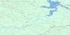
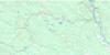
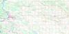
083B12 Harlech Topo Map
To view this map, mouse over the map preview on the right.
You can also download this topo map for free:
083B12 Harlech high-resolution topo map image.
Maps for the Harlech topo map sheet 083B12 at 1:50,000 scale are also available in these versions:
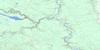
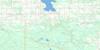
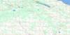
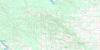
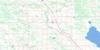
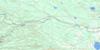
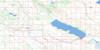
Harlech Surrounding Area Topo Maps
 |
 |
 |
 |
 |
 |
 |
 |
 |
 |
 |
 |
 |
 |
 |
 |
© Department of Natural Resources Canada. All rights reserved.
Harlech Gazetteer
The following places can be found on topographic map sheet 083B12 Harlech:
Harlech Topo Map: Lakes
Jackfish LakeMcGregor Lake
Moose Basin
Harlech Topo Map: Mountains
Rocky Mountain FoothillsHarlech Topo Map: Major municipal/district area - major agglomerations
Clearwater CountyMunicipal District of Clearwater No. 99
Harlech Topo Map: Rivers
Baptiste RiverBrewster Creek
Colt Creek
Grey Owl Creek
Lawrence Creek
Nordegg River
Rapid Creek
Shunda Creek
Stevens Creek
Sylvester Creek
Harlech Topo Map: Unincorporated areas
Harlech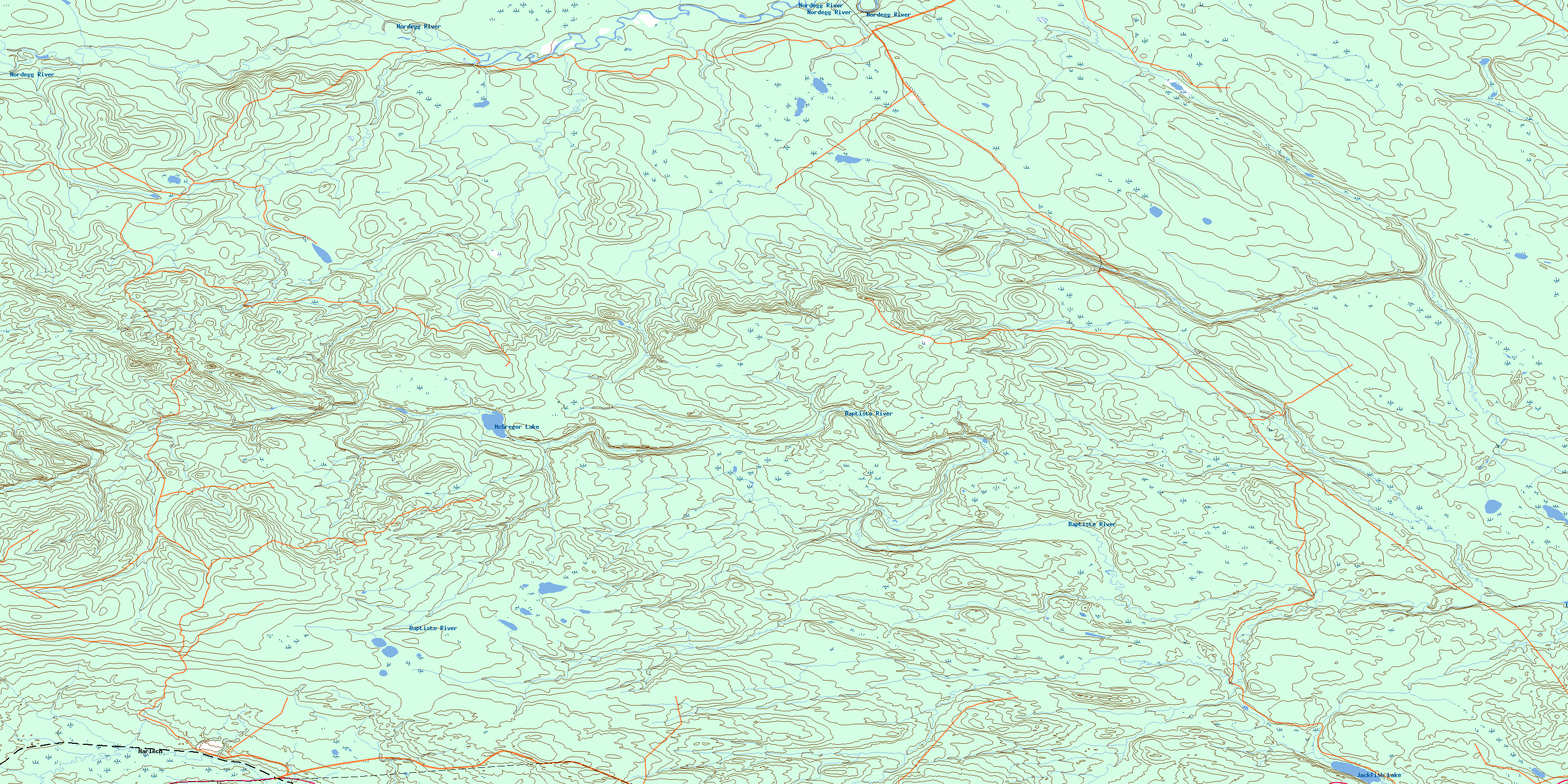
© Department of Natural Resources Canada. All rights reserved.
083B Related Maps:
083B Rocky Mountain House083B01 Markerville
083B02 Caroline
083B03 Tay River
083B04 Elk Creek
083B05 Saunders
083B06 Crimson Lake
083B07 Rocky Mountain House
083B08 Sylvan Lake
083B09 Rimbey
083B10 Carlos
083B11 Baptiste River
083B12 Harlech
083B13 Nordegg River
083B14 Brazeau Forks
083B15 Buck Lake
083B16 Winfield
