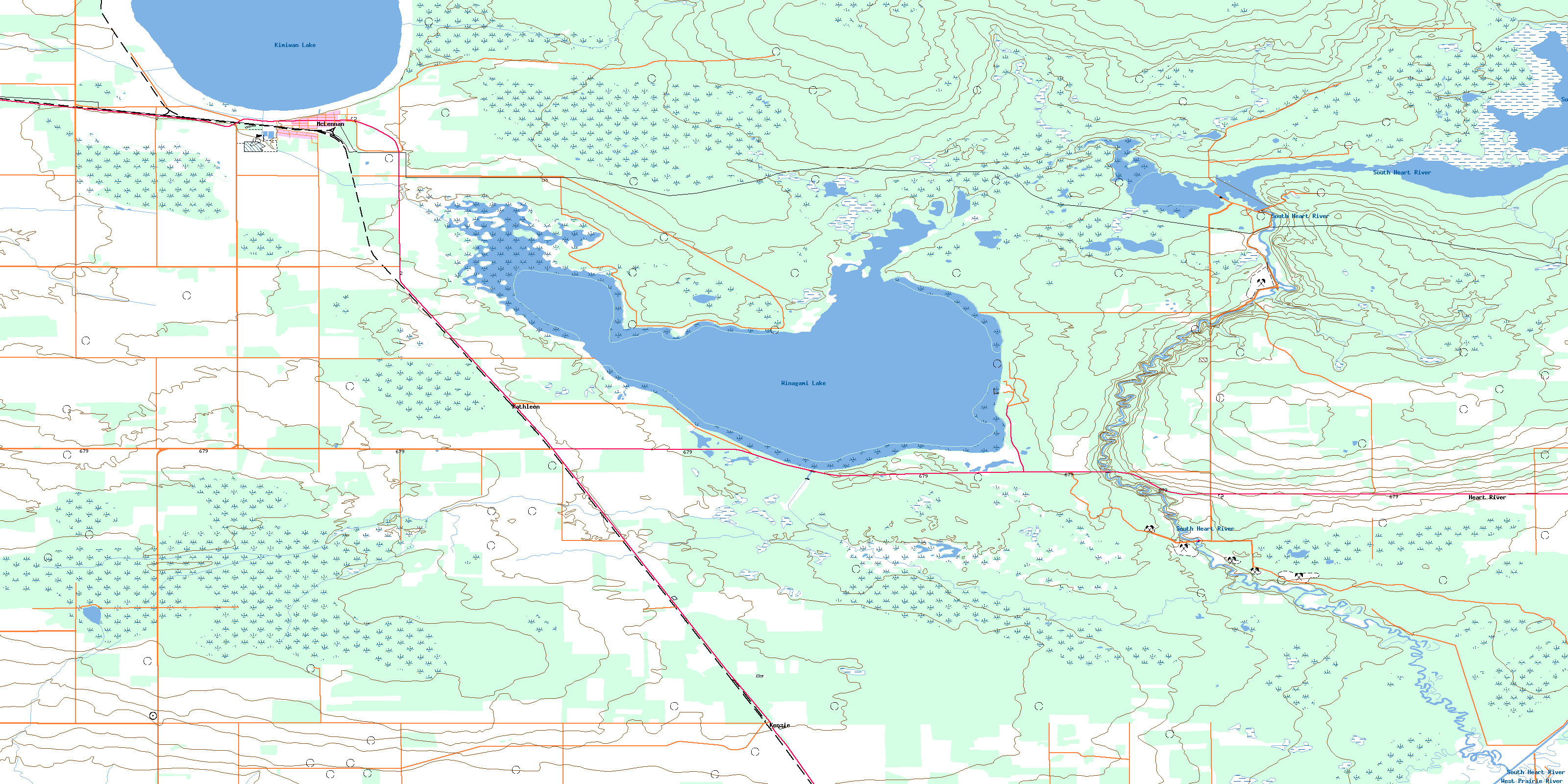
Mclennan Topo Map Online
Download Free Topo Map Sheet 083N10 at 1:50,000 scale
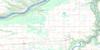
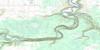
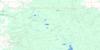
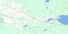
083N10 Mclennan Topo Map
To view this map, mouse over the map preview on the right.
You can also download this topo map for free:
083N10 Mclennan high-resolution topo map image.
Maps for the Mclennan topo map sheet 083N10 at 1:50,000 scale are also available in these versions:
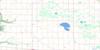
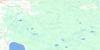
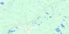
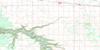
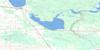
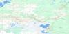
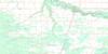
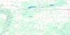
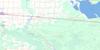
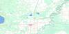
Mclennan Surrounding Area Topo Maps
 |
 |
 |
 |
 |
 |
 |
 |
 |
 |
 |
 |
 |
 |
 |
 |
© Department of Natural Resources Canada. All rights reserved.
Mclennan Gazetteer
The following places can be found on topographic map sheet 083N10 Mclennan:
Mclennan Topo Map: Lakes
Kimiwan LakeWinagami Lake
Mclennan Topo Map: Major municipal/district area - major agglomerations
Municipal District of Big Lakes No. 125Municipal District of Smoky River No. 130
Mclennan Topo Map: Conservation areas
Winagami Lake Provincial ParkMclennan Topo Map: Rivers
Gunns CreekSouth Heart River
West Prairie River
Mclennan Topo Map: Towns
McLennanMclennan Topo Map: Unincorporated areas
DoussalHeart River
Kathleen
Kenzie
Winagami
© Department of Natural Resources Canada. All rights reserved.
083N Related Maps:
083N Winagami083N01 Bellrose Lake
083N02 Snipe Lake
083N03 Valleyview
083N04 Sturgeon Heights
083N05 Puskwaskau River
083N06 Whitemud Creek
083N07 Triangle
083N08 High Prairie
083N09 Grouard
083N10 Mclennan
083N11 Donnelly
083N12 Watino
083N13 Tangent
083N14 Lac Magloire
083N15 Frank Lake
083N16 Pentland Lake
