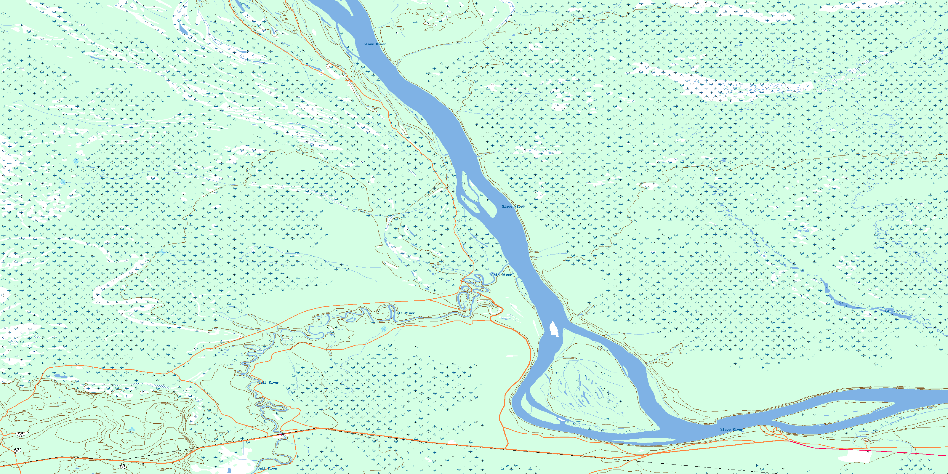
Salt River Topo Map Online
Download Free Topo Map Sheet 085A01 at 1:50,000 scale
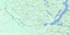
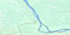
085A01 Salt River Topo Map
To view this map, mouse over the map preview on the right.
You can also download this topo map for free:
085A01 Salt River high-resolution topo map image.
Maps for the Salt River topo map sheet 085A01 at 1:50,000 scale are also available in these versions:
Salt River Surrounding Area Topo Maps
 |
 |
 |
 |
 |
 |
 |
 |
 |
 |
 |
 |
 |
 |
 |
 |
© Department of Natural Resources Canada. All rights reserved.
Salt River Gazetteer
The following places can be found on topographic map sheet 085A01 Salt River:
Salt River Topo Map: Indian Reserves
Salt Plains 195Salt River Topo Map: Islands
Sawmill IslandSalt River Topo Map: Mountains
Salt MountainSalt River Topo Map: Rivers
Salt RiverSlave River
Salt River Topo Map: Unincorporated areas
Bell RockCunningham Landing
Salt River
© Department of Natural Resources Canada. All rights reserved.
085A Related Maps:
085A Klewi River085A01 Salt River
085A02 Seton Creek
085A03 Preble Creek
085A04 Lake Of The Grave
085A05 Higgins Lake
085A06 No Title
085A07 Grand Detour
085A08 No Title
085A09 Tethul River
085A10 Landry Creek
085A11 Bear Creek
085A12 Badwater Creek
085A13 Salt Lake
085A14 Long Island
085A15 No Title
085A16 Deskenatlata Lake
