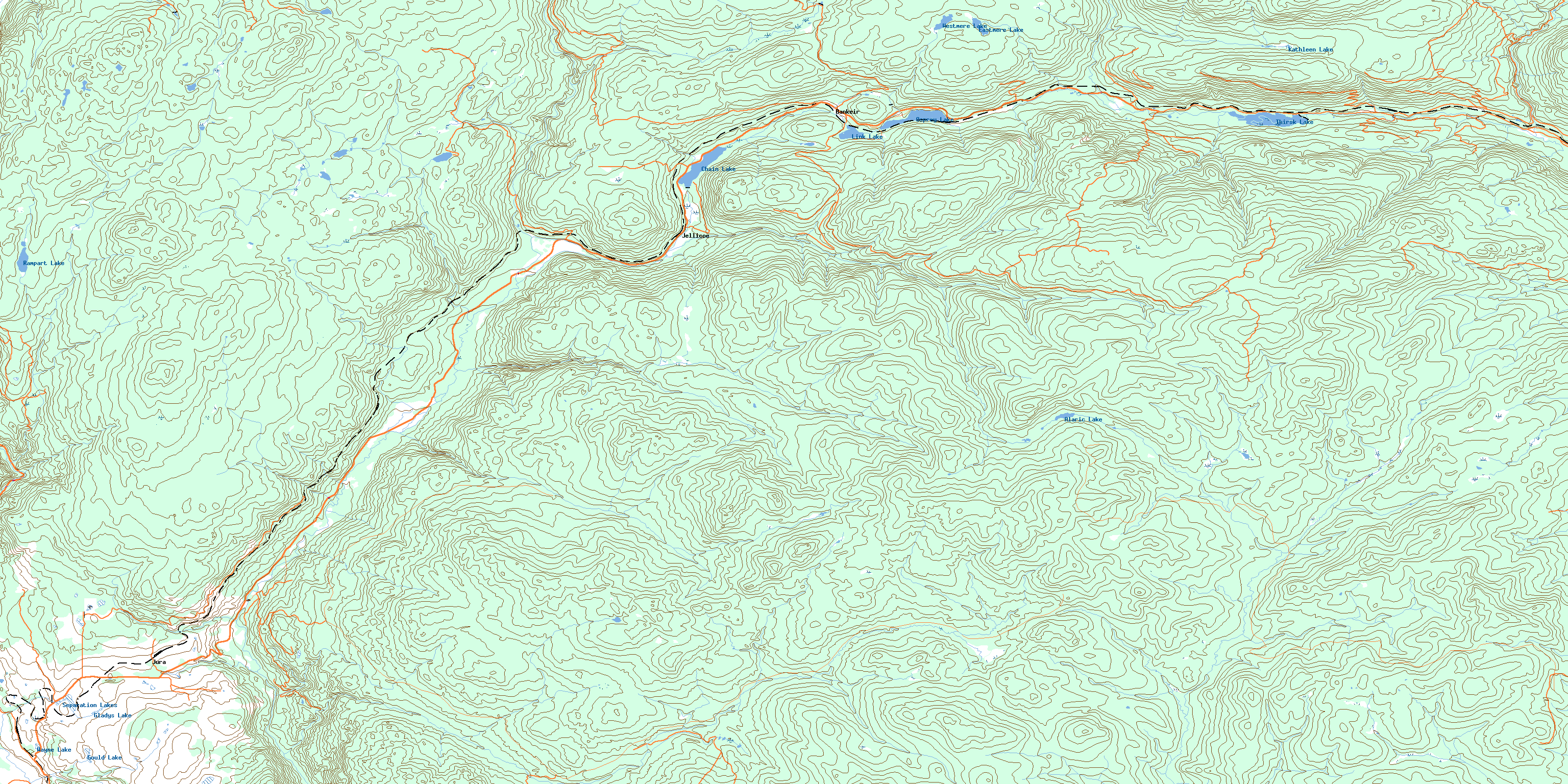
Bankeir Topo Map Online
Download Free Topo Map Sheet 092H09 at 1:50,000 scale
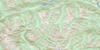
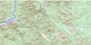
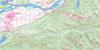
092H09 Bankeir Topo Map
To view this map, mouse over the map preview on the right.
You can also download this topo map for free:
092H09 Bankeir high-resolution topo map image.
Maps for the Bankeir topo map sheet 092H09 at 1:50,000 scale are also available in these versions:
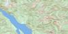
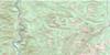
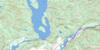
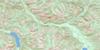
Bankeir Surrounding Area Topo Maps
 |
 |
 |
 |
 |
 |
 |
 |
 |
 |
 |
 |
 |
 |
 |
 |
© Department of Natural Resources Canada. All rights reserved.
Bankeir Gazetteer
The following places can be found on topographic map sheet 092H09 Bankeir:
Bankeir Topo Map: Geographical areas
Kamloops Division Yale Land DistrictOsoyoos Division Yale Land District
Bankeir Topo Map: Lakes
Alaric LakeChain Lake
DeWolf Lake
Eastmere Lake
Gladys Lake
Gould Lake
Hamilton Pond
Kathleen Lake
Link Lake
Osprey Lake
Rampart Lake
Secret Lake
Separation Lakes
Spukunne Lake
Thirsk Lake
Wayne Lake
Westmere Lake
Bankeir Topo Map: Plains
Thompson PlateauBankeir Topo Map: Rivers
Alaric CreekAllison Creek
Bearpaw Creek
Belfort Creek
Bull Creek
Camp Creek
Chapman Creek
Christian Creek
Collett Creek
Deer Valley Creek
Dillard Creek
Dry Creek
Empress Creek
Englund Creek
Finnegan Creek
Galois Creek
Grant Creek
Hardwick Creek
Hayes Creek
Isintok Creek
Kathleen Creek
Lee Creek
Lost Chain Creek
McNulty Creek
Rampart Creek
Red Creek
Rowley Creek
Shinish Creek
Simem Creek
Siwash Creek
Spukunne Creek
Summers Creek
Swanson Creek
Trehearne Creek
Trout Creek
Bankeir Topo Map: Unincorporated areas
BankeirBankeir (Jellicoe Station)
Belfort
Erris
Jellicoe
Jura
Mazama
Osprey Lake
Thirsk
© Department of Natural Resources Canada. All rights reserved.
092H Related Maps:
092H Hope092H01 Ashnola River
092H02 Manning Park
092H03 Skagit River
092H04 Chilliwack
092H05 Harrison Lake
092H06 Hope
092H07 Princeton
092H08 Hedley
092H09 Bankeir
092H10 Tulameen
092H11 Spuzzum
092H12 Mount Urquhart
092H13 Scuzzy Mountain
092H14 Boston Bar
092H15 Aspen Grove
092H16 Paradise Lake
