Ashnola River Topo Map Online
Download Free Topo Map Sheet 092H01 at 1:50,000 scale
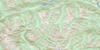
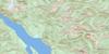
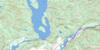
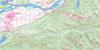
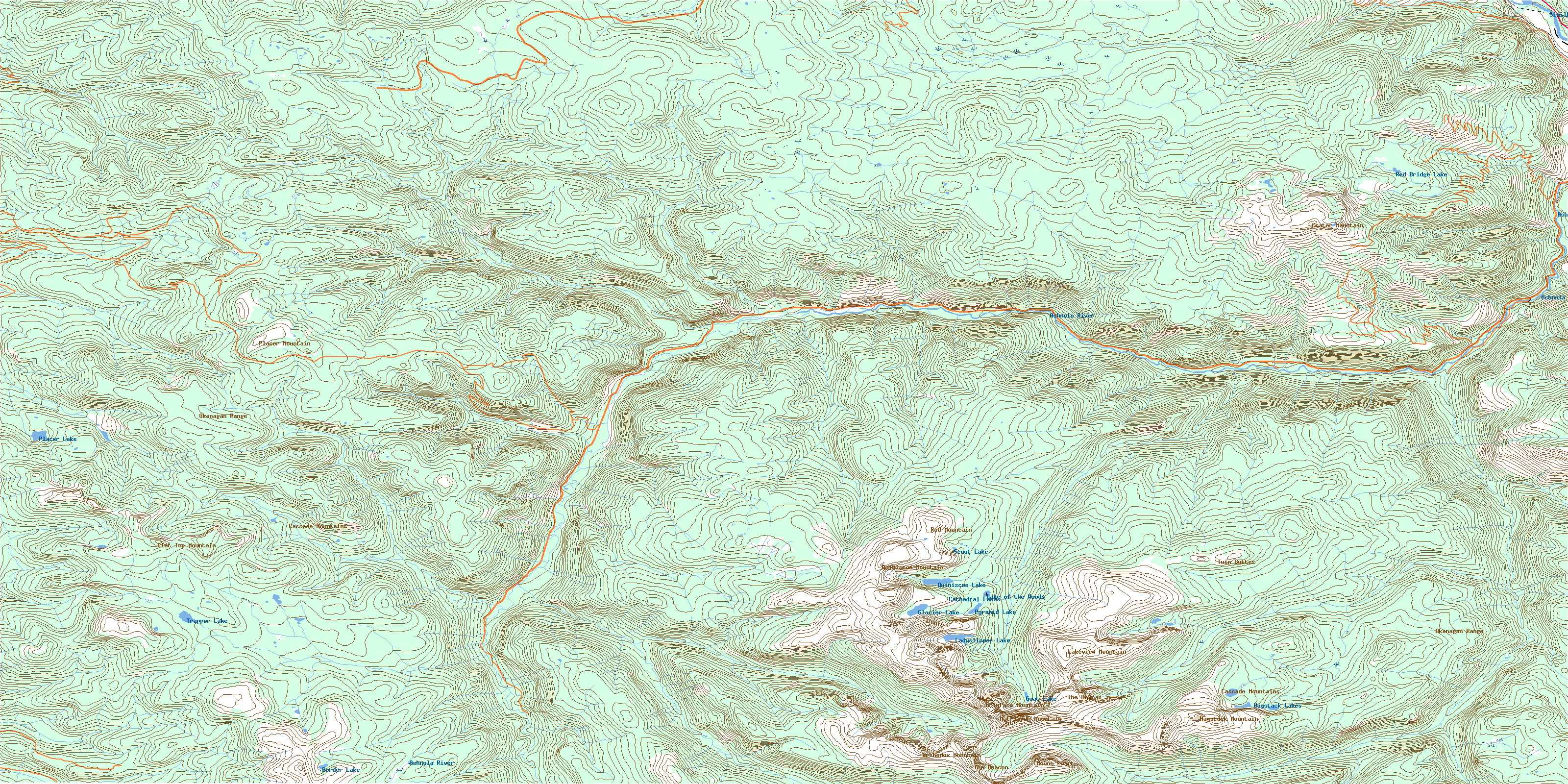
092H01 Ashnola River Topo Map
To view this map, mouse over the map preview on the right.
You can also download this topo map for free:
092H01 Ashnola River high-resolution topo map image.
Maps for the Ashnola River topo map sheet 092H01 at 1:50,000 scale are also available in these versions:
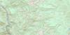
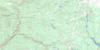
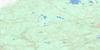
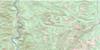
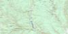
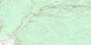
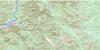
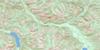
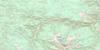
Ashnola River Surrounding Area Topo Maps
 |
 |
 |
 |
 |
 |
 |
 |
 |
 |
 |
 |
 |
 |
 |
 |
© Department of Natural Resources Canada. All rights reserved.
Ashnola River Gazetteer
The following places can be found on topographic map sheet 092H01 Ashnola River:
Ashnola River Topo Map: Geographical areas
Similkameen Division Yale Land DistrictAshnola River Topo Map: Indian Reserves
Ashnola Indian Reserve 10Réserve indienne Ashnola 10
Ashnola River Topo Map: Lakes
Border LakeCathedral Lakes
Glacier Lake
Goat Lake
Haystack Lakes
Ladyslipper Lake
Lake of the Woods
Placer Lake
Pyramid Lake
Quiniscoe Lake
Red Bridge Lake
Scout Lake
Trapper Lake
Ashnola River Topo Map: Mountains
Cascade MountainsCathedral Ridge
Crater Mountain
Denture Ridge
Flat Top Mountain
Grimface Mountain
Haystack Mountain
Lakeview Mountain
Macabre Tower
Matriarch Mountain
Mount Ewart
Okanagan Range
Orthodox Mountain
Placer Mountain
Pyramid Mountain
Quiniscoe Mountain
Red Mountain
The Boxcar
The Deacon
Twin Buttes
Ashnola River Topo Map: Conservation areas
Cathedral ParkAshnola River Topo Map: Plains
Thompson PlateauAshnola River Topo Map: Provinces
British ColumbiaAshnola River Topo Map: Rivers
Ashnola RiverBeaver Creek
Belgie Creek
Broken Creek
Cahill Creek
Calcite Creek
Cathedral Fork
Cool Creek
Crater Creek
Duruisseau Creek
Easygoing Creek
Etches Creek
Ewart Creek
Gillanders Creek
Haig Creek
Ikwadli Creek
Juniper Creek
Lakeview Creek
McBride Creek
Meausette Creek
Mountain Goat Creek
Paul Creek
Peeve Creek
Pettigrew Creek
Placer Creek
Quiniscoe Creek
Rattlesnake Creek
Red Bridge Creek
Similkameen River
Skwekust Creek
Smith Creek
Spring Creek
Strayhorse Creek
Sunday Creek
Wall Creek
Webster Creek
Willis Creek
Young Creek
Ashnola River Topo Map: Low vegetation
Red Mountain MeadowsWall Creek Meadows
© Department of Natural Resources Canada. All rights reserved.
092H Related Maps:
092H Hope092H01 Ashnola River
092H02 Manning Park
092H03 Skagit River
092H04 Chilliwack
092H05 Harrison Lake
092H06 Hope
092H07 Princeton
092H08 Hedley
092H09 Bankeir
092H10 Tulameen
092H11 Spuzzum
092H12 Mount Urquhart
092H13 Scuzzy Mountain
092H14 Boston Bar
092H15 Aspen Grove
092H16 Paradise Lake
