Harrison Lake Topo Map Online
Download Free Topo Map Sheet 092H05 at 1:50,000 scale
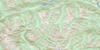
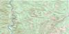
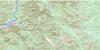
092H05 Harrison Lake Topo Map
To view this map, mouse over the map preview on the right.
You can also download this topo map for free:
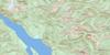
092H05 Harrison Lake high-resolution topo map image.
Maps for the Harrison Lake topo map sheet 092H05 at 1:50,000 scale are also available in these versions:
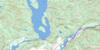
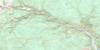
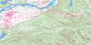
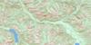
Harrison Lake Surrounding Area Topo Maps
 |
 |
 |
 |
 |
 |
 |
 |
 |
 |
 |
 |
 |
 |
 |
 |
© Department of Natural Resources Canada. All rights reserved.
Harrison Lake Gazetteer
The following places can be found on topographic map sheet 092H05 Harrison Lake:
Harrison Lake Topo Map: Bays
Beach BayBlind Bay
Camp Cove
Cascade Bay
Celia Cove
Cooks Cove
Crowhurst Bay
Echo Bay
Lakeberg Bay
Long Island Bay
Macs Cove
McComb Bay
McDonalds Bay
Sandy Cove
Scherrer Bay
Sturgeon Bay
Ten Mile Bay
Harrison Lake Topo Map: Capes
Cascade PeninsulaPirates Point
Purcell Point
Raake Point
Spooks Point
Ten Mile Point
Whippoorwill Point
Wilson Point
Harrison Lake Topo Map: Channels
Towboat StraitHarrison Lake Topo Map: District municipality
HopeKent
Harrison Lake Topo Map: Falls
Eagle FallsRainbow Falls
Harrison Lake Topo Map: Geographical areas
New Westminster Land DistrictYale Division Yale Land District
Harrison Lake Topo Map: Indian Reserves
Chawathil Indian Reserve 4Chawuthen Indian Reserve 4
Chehalis Indian Reserve 5
Chehalis Indian Reserve 6
Lukseetsissum Indian Reserve 9
Ohamil Indian Reserve 1
Peters Indian Reserve 1
Peters Indian Reserve 1A
Peters Indian Reserve 2
Réserve indienne Chawathil 4
Réserve indienne Chawuthen 4
Réserve indienne Chehalis 5
Réserve indienne Chehalis 6
Réserve indienne Lukseetsissum 9
Réserve indienne Ohamil 1
Réserve indienne Peters 1
Réserve indienne Peters 1A
Réserve indienne Peters 2
Réserve indienne Ruby Creek 2
Réserve indienne Seabird Island
Réserve indienne Skawahlook 1
Réserve indienne Wahleach Island 2
Ruby Creek Indian Reserve 2
Seabird Island Indian Reserve
Skawahlook Indian Reserve 1
Wahleach Island Indian Reserve 2
Harrison Lake Topo Map: Islands
Camile IslandCottonwood Island
Deer Island
Echo Island
Herrling Island
Inkman Island
Lone Tree Island
Long Island
Margaret Island
Marguerite Island
Sea Bird Island
Seabird Island
Sheers Island
Vasasus Island
Wadsworth Island
Wahleach Island
Harrison Lake Topo Map: Lakes
Barnet LakeBear Lake
Campbell Lake
Chehalis Lake
Comet Lake
Deer Lake
Echo Lake
Elbow Lake
Francis Lake
Grace Lake
Harrison Lake
Hicks Lake
Hotsprings Slough
Johnsons Slough
Lookout Lake
Maria Slough
Morris Lake
Moss Lake
Mountain Slough
Slollicum Lake
Stacey Lake
Sunrise Lake
Trout Lake
Wahleach Lake
Weaver Lake
Wolf Lake
Wood Lake
Harrison Lake Topo Map: Mountains
Bear MountainCascade Mountains
Chaîne Côtière
Coast Mountains
Field Peak
Lillooet Range
Lillooet Ranges
Lookout Peak
Mount Agassiz
Mount Baird
Mount Barr
Mount Davies
Mount Devoy
Mount Downing
Mount Hicks
Mount Keenan
Mount Klaudt
Mount Ludwig
Mount McNair
Mount McRae
Mount Parker
Mount Woodside
Pacific Ranges
Skagit Range
Slollicum Peak
Zofka Ridge
Harrison Lake Topo Map: Major municipal/district area - major agglomerations
Dewdney-Alouette Regional DistrictFraser Valley Regional District
Regional District of Fraser-Cheam
Harrison Lake Topo Map: Conservation areas
F.H. Barber ParkSasquatch Park
Weaver Creek Park
Harrison Lake Topo Map: Rivers
American CreekBear Creek
Brett Creek
Cartmell Creek
Chawuthen Creek
Chehalis River
Cogburn Creek
Connor Creek
Elbow Creek
Emory Creek
Fleuve Fraser
Fraser River
Garnet Creek
Hale Creek
Harrison River
Hicks Creek
Hunter Creek
Lorenzetta Creek
Mahood Creek
Maisal Creek
McCallum Ditch
Miami Creek
Morris Creek
Pretty Creek
Ruby Creek
Sakwi Creek
Sasquatch Creek
Simms Creek
Skwawolt Creek
Slollicum Creek
Statlu Creek
Stulkawhits Creek
Talc Creek
Thunderbird Creek
Trout Lake Creek
Vaughan Creek
Wahleach Creek
Walian Creek
Weaver Creek
Harrison Lake Topo Map: Shoals
Limbert RockLimbert Rocks
Harrison Lake Topo Map: Springs
Harrison Hot SpringsHarrison Lake Topo Map: Unincorporated areas
Cheam ViewCheam View
Flood
Floods
Harrison Mills
Hemlock Valley
Katz
Laidlaw
Ruby Creek
Waleach
Harrison Lake Topo Map: Villages
Harrison Hot Springs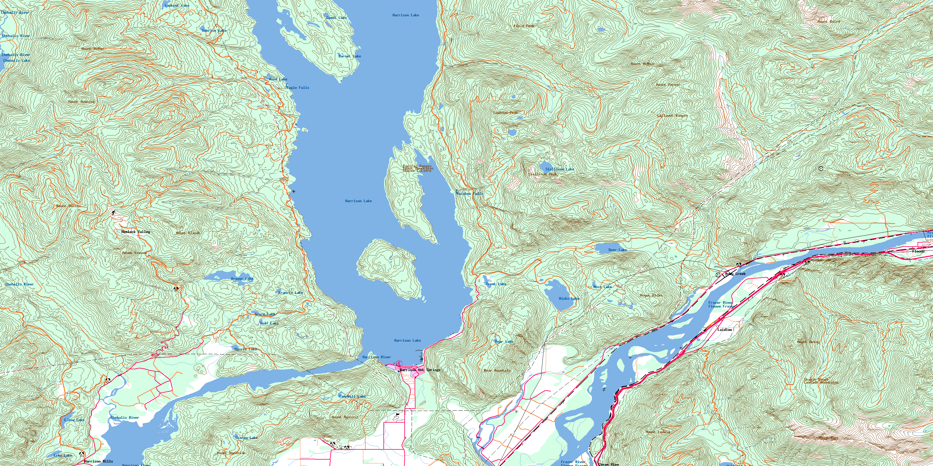
© Department of Natural Resources Canada. All rights reserved.
092H Related Maps:
092H Hope092H01 Ashnola River
092H02 Manning Park
092H03 Skagit River
092H04 Chilliwack
092H05 Harrison Lake
092H06 Hope
092H07 Princeton
092H08 Hedley
092H09 Bankeir
092H10 Tulameen
092H11 Spuzzum
092H12 Mount Urquhart
092H13 Scuzzy Mountain
092H14 Boston Bar
092H15 Aspen Grove
092H16 Paradise Lake
