Kamloops Topo Map Online
Download Free Topo Map Sheet 092I09 at 1:50,000 scale
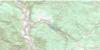
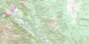
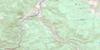
092I09 Kamloops Topo Map
To view this map, mouse over the map preview on the right.
You can also download this topo map for free:
092I09 Kamloops high-resolution topo map image.
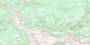
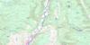
Maps for the Kamloops topo map sheet 092I09 at 1:50,000 scale are also available in these versions:
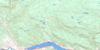
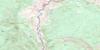
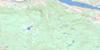
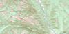
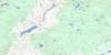
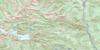
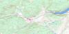
Kamloops Surrounding Area Topo Maps
 |
 |
 |
 |
 |
 |
 |
 |
 |
 |
 |
 |
 |
 |
 |
 |
© Department of Natural Resources Canada. All rights reserved.
Kamloops Gazetteer
The following places can be found on topographic map sheet 092I09 Kamloops:
Kamloops Topo Map: City
KamloopsKamloops Topo Map: Indian Reserves
Kamloops Indian Reserve 1Réserve indienne Kamloops 1
Kamloops Topo Map: Islands
McArthur IslandKamloops Topo Map: Lakes
Batchelor LakeBennet Pond
Beresford Lakes
Bleeker Lake
Bowers Lake
Buse Lake
Bush Lake
Campbell Lake
Clarence Lake
Curry Lake
Dam Lake
Disdero Lake
Edith Lake
Elder Lake
Flat Lake
Galaxy Lake
Goose Lake
Gowans Lake
Hosli Lake
Hull Lake
Ida Lake
Inks Lake
Ironmask Lake
Jacko Lake
Kamloops Lake
King Lake
Lockie Lake
Makaoo Lake
McConnell Lake
McGlashan Lake
McLeod Lake
Menanteau Lake
Mitchell Lake
Nelson Lake
Nichol Lake
Paul Lake
Pinantan Lake
Polygon Pond
Pothook Lake
Python Lake
Robins Lake
Rush Lake
Scheidam Lake
Scuitto Lake
Separation Lake
Shumway Lake
Sinclair Lake
Somerville Lake
Spring Brook Lake
Stake Lake
Talmage Lake
Timber Lake
Upper Buse Lake
Ussher Lake
Walker Lake
Wallender Lake
White Lake
Kamloops Topo Map: Mountains
Bachelor HillBatchelor Hill
Batchelor Range
Bestwick Hill
Buse Hill
Coal Hill
Dome Hills
Dufferin Hill
Edith Hill
Gibraltar Rock
Hull Hill
Ironmask Hill
Ironmask Hill
Knutsford Hill
Mara Hill
McConnell Hill
McGregor Hill
Monte Hills
Mount Harper
Mount Scuitto
Mount Vicars
Paul Peak
Peter Peak
Rockface Mountain
Rose Hill
Scuittoe Mountain
Shumway Hill
Sugarloaf Hill
Wild Horse Mountain
Woodland Hill
Kamloops Topo Map: Conservation areas
McConnell Lake ParkMission Flats Park
Paul Lake Park
Paul Lake Recreation Area
Stake-McConnell Lakes Recreation Area
Kamloops Topo Map: Plains
Scheidam FlatsThompson Plateau
Kamloops Topo Map: Recreational sites
Harper MountainKamloops Topo Map: Rivers
Alkali CreekAnderson Creek
Buse Creek
Campbell Creek
Codona Creek
Cold Creek
Cowan Creek
Davidson Brook
Droppingwater Creek
Freshet Creek
Guerin Creek
Humphrey Creek
Jacko Creek
Juniper Creek
Lloyd Creek
Luke Creek
McGregor Creek
North Thompson River
Paul Creek
Peterson Creek
Scuitto Creek
Scuittoe Creek
South Thompson River
Spring Brook
Thompson River
Ussher Creek
Woodland Creek
Kamloops Topo Map: Unincorporated areas
AberdeenBarnhart Vale
Barnhartvale
Batchelor Hills
Benledi
Beresford
Bestwick
Blackloam
Brigade Lake
Brocklehurst
Campbell Creek
Campbell Creek Junction
Dallas
Dufferin
Halston
Hopspur
Juniper Heights
Juniper Ridge
Kamfarge
Kamloops
Kamloops Junction
Kamore
Kissick
Knutsford
McCracken
North Kamloops
Oak Hills
Orchard Ridge
Pinantan Lake
Powers Addition
Sahali
Valleyview
Kamloops Topo Map: Valleys
Joyce Gulch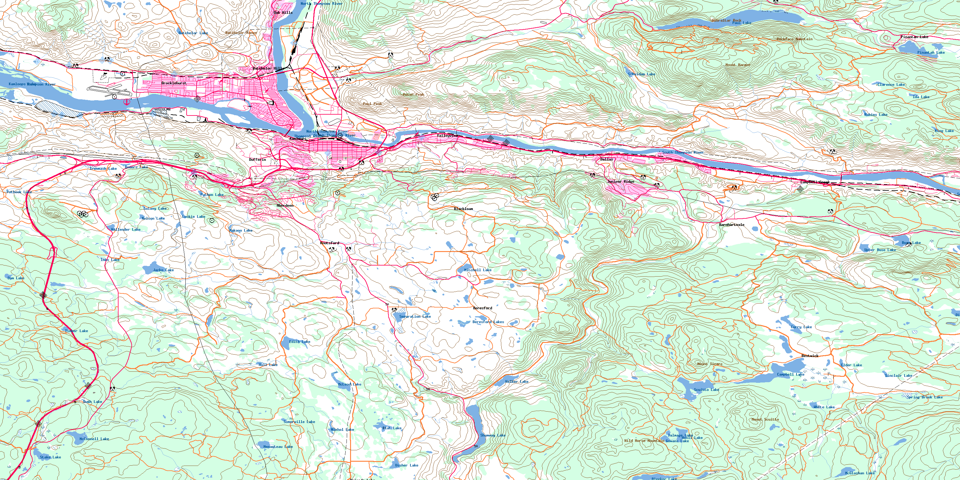
© Department of Natural Resources Canada. All rights reserved.
092I Related Maps:
092I Ashcroft092I01 Douglas Lake
092I02 Merritt
092I03 Prospect Creek
092I04 Lytton
092I05 Stein River
092I06 Spences Bridge
092I07 Mamit Lake
092I08 Stump Lake
092I09 Kamloops
092I10 Cherry Creek
092I11 Ashcroft
092I12 Lillooet
092I13 Pavilion
092I14 Cache Creek
092I15 Tranquille River
092I16 Heffley Creek
