Eagle Hill Topo Map Online
Download Free Topo Map Sheet 103G13 at 1:50,000 scale
103G13 Eagle Hill Topo Map
To view this map, mouse over the map preview on the right.
You can also download this topo map for free:
103G13 Eagle Hill high-resolution topo map image.
Maps for the Eagle Hill topo map sheet 103G13 at 1:50,000 scale are also available in these versions:
Eagle Hill Surrounding Area Topo Maps
 |
 |
 |
|
 |
 |
 |
|
 |
 |
 |
|
 |
© Department of Natural Resources Canada. All rights reserved.
Eagle Hill Gazetteer
The following places can be found on topographic map sheet 103G13 Eagle Hill:
Eagle Hill Topo Map: Channels
Hecate StraitEagle Hill Topo Map: Islands
Graham IslandEagle Hill Topo Map: Lakes
Buckshot LakeHarlequin Lake
Hermit Lake
Juno Lake
Lawder Lake
Parkes Lake
Prospect Lake
Richter Lake
Spence Lake
Eagle Hill Topo Map: Mountains
Eagle HillEagle Hill Topo Map: Conservation areas
Naikoon ParkEagle Hill Topo Map: Plains
Argonaut PlainEagle Hill Topo Map: Rivers
Cape Ball CreekCape Ball River
Eagle Creek
Hiellen River
Oeanda River
Otter Creek
Sangan River
Swan Creek
Eagle Hill Topo Map: Low vegetation
Blue Danube Swamp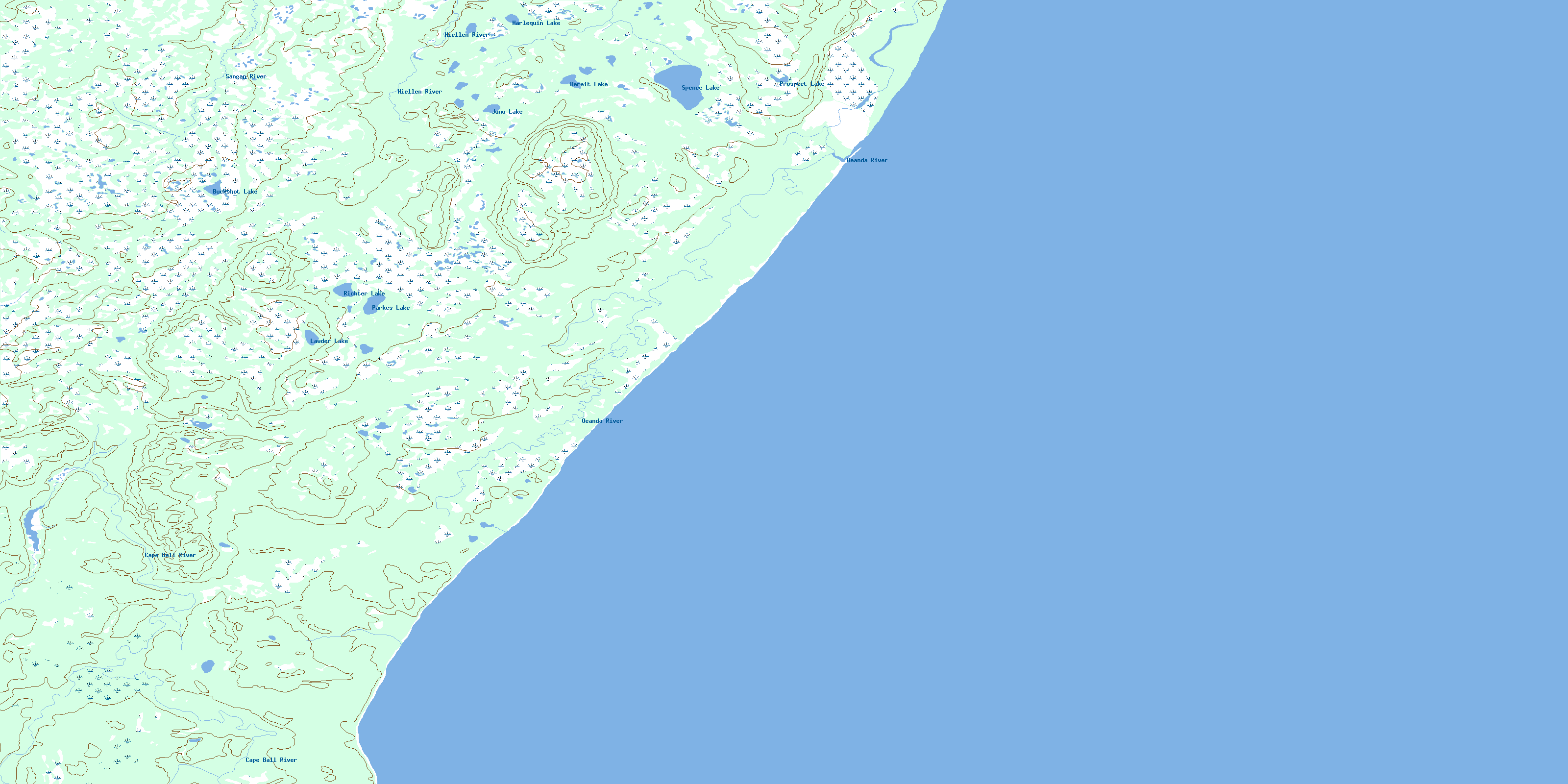
© Department of Natural Resources Canada. All rights reserved.
