Griffith Harbour Topo Map Online
Download Free Topo Map Sheet 103G10 at 1:50,000 scale
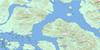
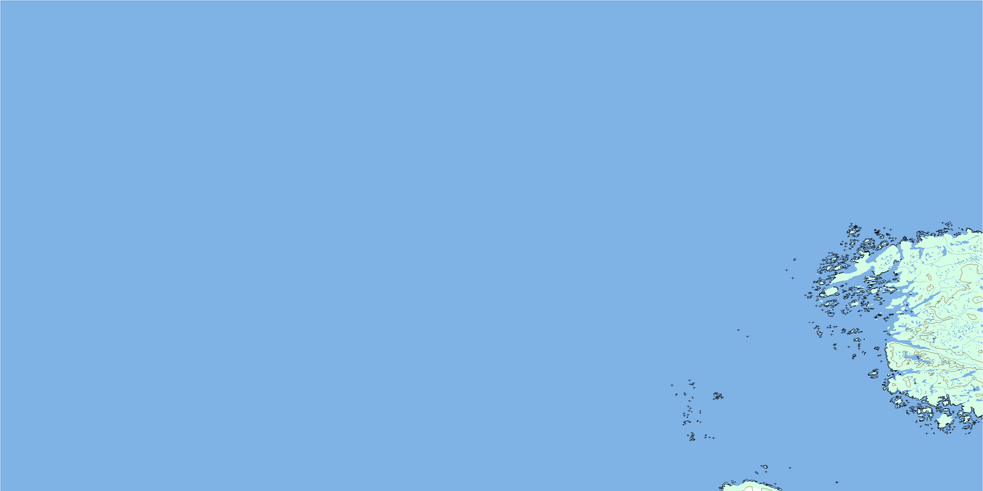
103G10 Griffith Harbour Topo Map
To view this map, mouse over the map preview on the right.
You can also download this topo map for free:
103G10 Griffith Harbour high-resolution topo map image.
Maps for the Griffith Harbour topo map sheet 103G10 at 1:50,000 scale are also available in these versions:
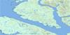
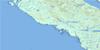
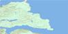
Griffith Harbour Surrounding Area Topo Maps
 |
 |
 |
|
 |
 |
 |
|
 |
 |
 |
|
 |
© Department of Natural Resources Canada. All rights reserved.
Griffith Harbour Gazetteer
The following places can be found on topographic map sheet 103G10 Griffith Harbour:
Griffith Harbour Topo Map: Bays
Griffith HarbourLarsen Harbour
Millar Bay
Norway Inlet
Rawlinson Anchorage
Griffith Harbour Topo Map: Capes
Birch PointParlane Point
Solander Point
Whittle Point
Griffith Harbour Topo Map: Channels
Browning EntranceHecate Strait
Griffith Harbour Topo Map: Islands
Appleby IslandArchie Islet
Askew Islands
Banks Island
Bennett Islet
Bone Islet
Bonilla Island
Borrowman Group
Bromley Island
Heron Islands
Isnor Island
Isnor Islets
Jewsbury Islands
Jewsbury Islets
Krone Island
Larsen Island
Parlane Islet
Sladden Island
Sneath Islands
Webb Island
Wells Island
Wells Islet
Griffith Harbour Topo Map: Major municipal/district area - major agglomerations
Regional District of Kitimat-StikineGriffith Harbour Topo Map: Shoals
Anderson RockArchie Rock
Beadle Rocks
Butler Rock
Chandler Rocks
Deans Rocks
East Rock
English Rock
Ford Rock
Hawley Rocks
Johnson Rocks
Kettle Rock
Laird Rocks
Lonely Rock
Lonely Rocks
McCoy Rocks
North Rock
Northwest Rocks
Parker Rocks
Venn Shoal
Webb Rock
White Rocks
© Department of Natural Resources Canada. All rights reserved.
