Bonilla Island Topo Map Online
Download Free Topo Map Sheet 103G07 at 1:50,000 scale
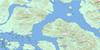
103G07 Bonilla Island Topo Map
To view this map, mouse over the map preview on the right.
You can also download this topo map for free:
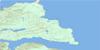
103G07 Bonilla Island high-resolution topo map image.
Maps for the Bonilla Island topo map sheet 103G07 at 1:50,000 scale are also available in these versions:
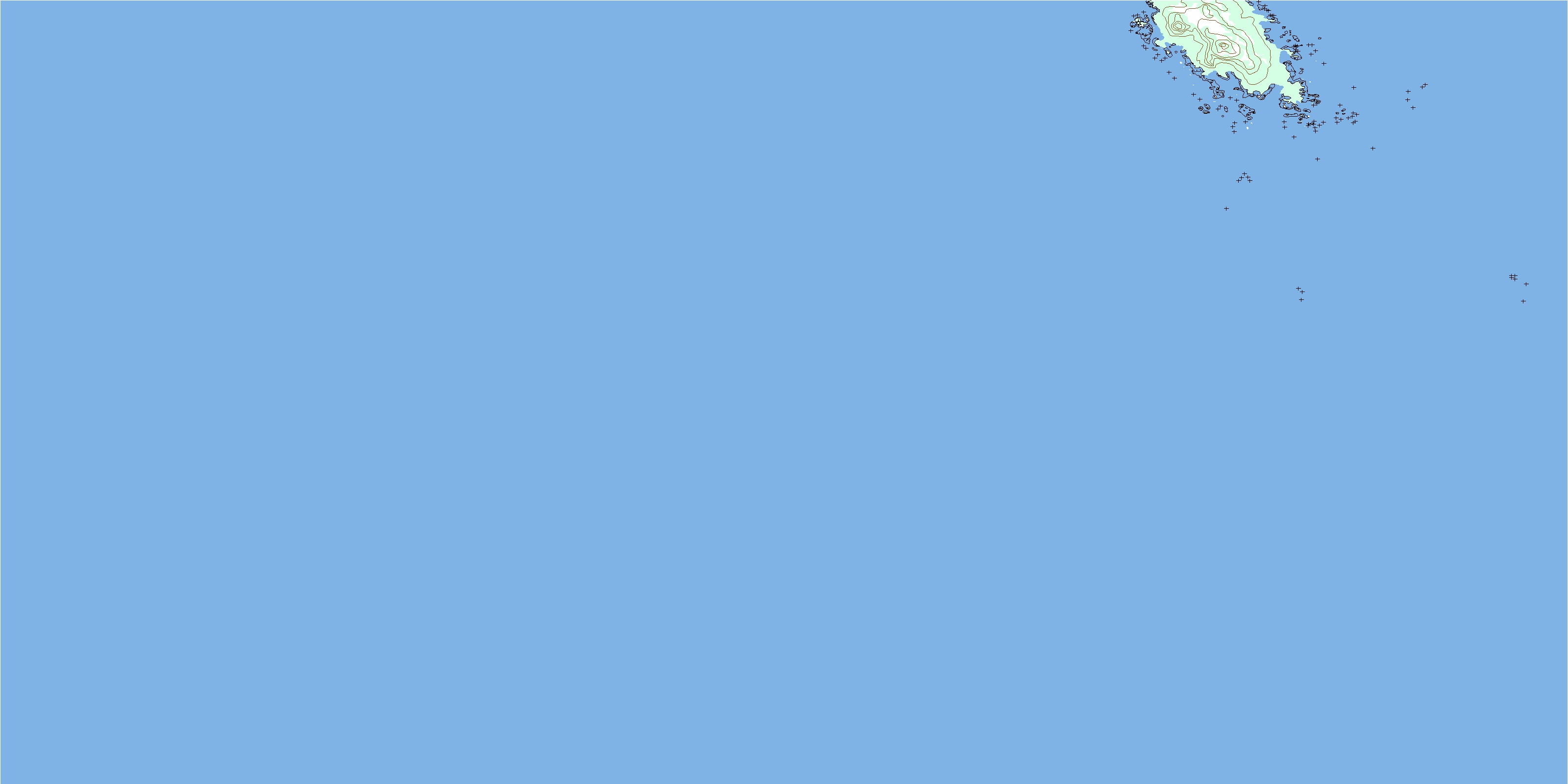
Bonilla Island Surrounding Area Topo Maps
 |
 |
 |
|
 |
 |
 |
|
 |
 |
 |
|
 |
© Department of Natural Resources Canada. All rights reserved.
Bonilla Island Gazetteer
The following places can be found on topographic map sheet 103G07 Bonilla Island:
Bonilla Island Topo Map: Indian Reserves
Kul Indian Reserve 18Réserve indienne Kul 18
Bonilla Island Topo Map: Islands
Bonilla IslandBonilla Island Topo Map: Mountains
Dome HillDome Peak
Bonilla Island Topo Map: Major municipal/district area - major agglomerations
Regional District of Kitimat-StikineBonilla Island Topo Map: Shoals
Bonilla RocksMcHarg Bank
South Rocks
© Department of Natural Resources Canada. All rights reserved.
