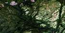
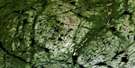
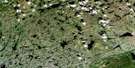
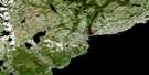
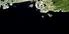
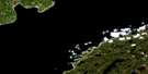
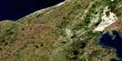
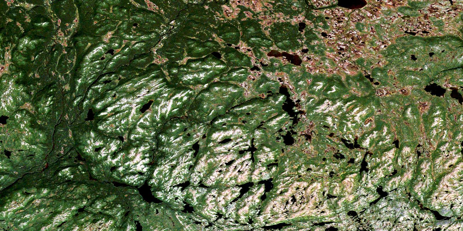
Lac Senac Satellite Image Map
Download Free Aerial Photo 012P14 at 1:50,000 scale
Lac Senac Satellite Imagery
To view this satellite map, mouse over the air photo on the right.
You can also download this satellite image map for free:
012P14 Lac Senac high-resolution satellite image map.
Maps for the Lac Senac aerial map sheet 012P14 at 1:50,000 scale are also available in these versions:
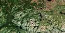
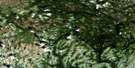
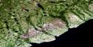
Lac Senac Surrounding Area Aerial Photo Maps
 |
 |
 |
 |
 |
 |
 |
 |
 |
 |
 |
 |
 |
 |
© Department of Natural Resources Canada. All rights reserved.
Lac Senac Gazetteer
The following places can be found on satellite image map 012P14 Lac Senac:
Lac Senac Satellite Image: Lakes
Camp PondFox Pond
Indian Pond
Island Pond
Lac Bouteille
Lac Café
Lac Capannan
Lac Cross
Lac Deux Milles
Lac du Mont Rye
Lac Hancock
Lac Numerous
Lac Phil-Dumaresque
Lac Pricket
Lac Rocky
Lac Senac
Lac Tshipashit
Lac Whale Head
Lacs Pants
Portage Pond
Silver Pond
Lac Senac Satellite Image: Mountains
Colline Deux MillesColline Fig Pond
Colline Woody
Collines Dog Pond
Crêtes du Lac Café
Mont First Back Bone
Mont Rye
Mont Second Back Bone
Mont Third Back Bone
Lac Senac Satellite Image: Rapids
Rapides du Nord-OuestLac Senac Satellite Image: Rivers
Beaver BrookLost River
Rivière Bujeault
Rivière Dog Pond
Rivière du Nord-Est
Rivière du Nord-Ouest
Rivière Perdrix
Ruisseau Crooked
Ruisseau Fox
Ruisseau Hancock
Ruisseau Seal Oil
Lac Senac Satellite Image: Valleys
Vallon Mud PondLac Senac Satellite Image: Low vegetation
Marécage PorcupineMarécage Woody
Marécages Indian Pond
© Department of Natural Resources Canada. All rights reserved.
