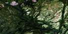
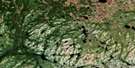
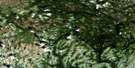
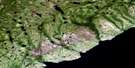
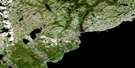
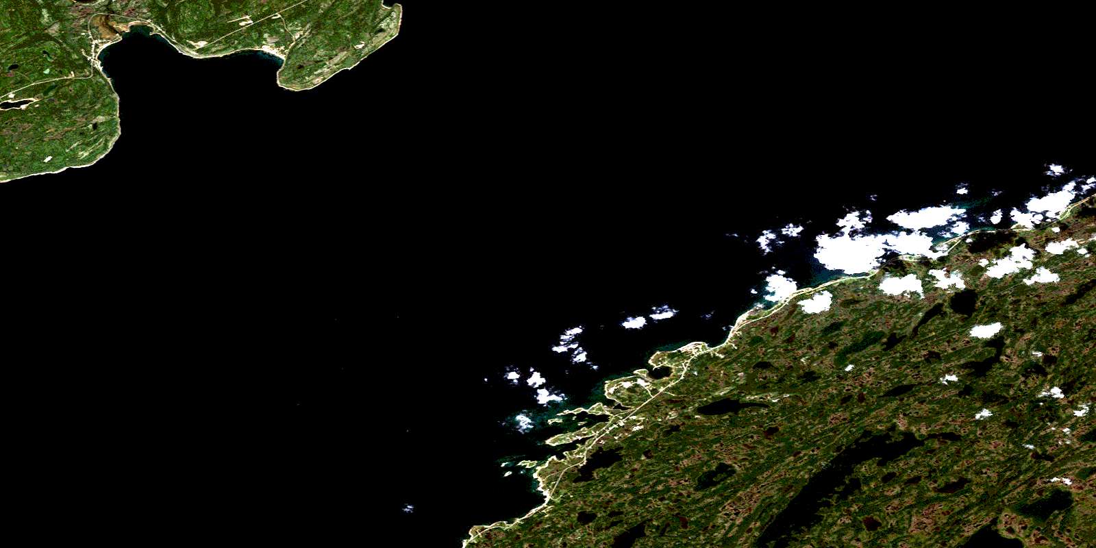
Flower's Cove Satellite Image Map
Download Free Aerial Photo 012P07 at 1:50,000 scale
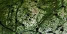
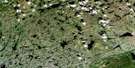
Flower's Cove Satellite Imagery
To view this satellite map, mouse over the air photo on the right.
You can also download this satellite image map for free:
012P07 Flower's Cove high-resolution satellite image map.
Maps for the Flower's Cove aerial map sheet 012P07 at 1:50,000 scale are also available in these versions:
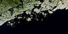
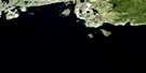
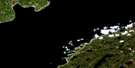
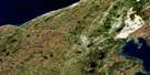
Flower's Cove Surrounding Area Aerial Photo Maps
 |
 |
 |
 |
 |
 |
 |
 |
 |
 |
 |
 |
 |
 |
© Department of Natural Resources Canada. All rights reserved.
Flower's Cove Gazetteer
The following places can be found on satellite image map 012P07 Flower's Cove:
Flower's Cove Satellite Image: Bays
Anse aux MortsBear Cove
Boat Cove
Deadman Cove
Flowers Cove
Flower's Cove
Forteau Bay
Golfe du Saint-Laurent
Green Island Cove
Gulf of St. Lawrence
Mistaken Cove
Nameless Cove
Payne's Cove
Sandy Cove
Savage Cove
Schooner Cove
Shoal Cove
Flower's Cove Satellite Image: Beaches
The FlatsFlower's Cove Satellite Image: Capes
Admiral PointBear Cove Point
Capstan Point
Chambers Point
Chimney Head
Crow Head
English Point
Forteau Point
Grassy Point
Hawkins or Buckle Point
Longue Point
Nameless Point
Northern Peninsula
Pointe Amour
Red Rock Point
Salmon Point
Savage Point
Flower's Cove Satellite Image: Channels
Détroit de Belle IsleStrait of Belle Isle
Flower's Cove Satellite Image: Islands
Cooper IslandFlowers Island
Flower's Island
Green Island
Herb Island
Red Island
Rocky Island
Seal Islands
Slab Island
Flower's Cove Satellite Image: Lakes
First LakeFlower's Cove Satellite Image: Rivers
Forteau BrookOverfall Brook
Flower's Cove Satellite Image: Shoals
Crow Head BankDouble Ledge
Flowers Ledges
Green Island Rock
Grenville Ledge
Payne's Cove Rock
Pillot Bank
Seal Ledges
Wolf Rock
Flower's Cove Satellite Image: Towns
Flower's CoveForteau
L'Anse au Loup
L'Anse-au-Loup
Savage Cove - Sandy Cove
Flower's Cove Satellite Image: Unincorporated areas
Bear CoveBuckles Point
Davis House
Deadman Cove
Deadmans Cove
English Point
Green Island Brook
Green Island Cove
Job's Room
L'Anse-Amour
Lonesome Cove
Mistaken Cove
Nameless Cove
Payne's Cove
Pines Cove
Salmon Rock
Sandy Cove
Savage Cove
Shoal Cove
St. Barbe North Sandy Cove
White House
© Department of Natural Resources Canada. All rights reserved.
