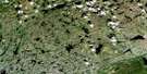
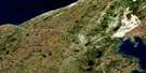
Big Brook Satellite Image Map
Download Free Aerial Photo 012P09 at 1:50,000 scale
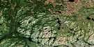
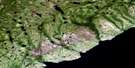
Big Brook Satellite Imagery
To view this satellite map, mouse over the air photo on the right.
You can also download this satellite image map for free:
012P09 Big Brook high-resolution satellite image map.
Maps for the Big Brook aerial map sheet 012P09 at 1:50,000 scale are also available in these versions:
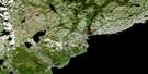
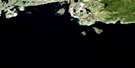
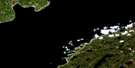
Big Brook Surrounding Area Aerial Photo Maps
 |
 |
 |
 |
 |
 |
 |
 |
 |
 |
 |
 |
 |
 |
© Department of Natural Resources Canada. All rights reserved.
Big Brook Gazetteer
The following places can be found on satellite image map 012P09 Big Brook:
Big Brook Satellite Image: Bays
Bailey CoveBuckle Cove
Capstan Cove
Kelpy Cove
Little Capstan Cove
Lower Cove
Open Bay
Red Bay
Shoal Cove
Steamer Cove
Stump Cove
The Basin
The Harbour
Unfortunate Cove
Watts Bight
Western Arm
Big Brook Satellite Image: Capes
Bailey Cove PointBoat Head
Capstan Cove Point
Moore Point
Northern Peninsula
Shoal Cove Point
Western Point
Wiseman Head
Big Brook Satellite Image: Channels
Détroit de Belle IsleStrait of Belle Isle
Big Brook Satellite Image: Islands
Fishery IslandGull Island
Penney Island
Penny Island
Saddle Island
Twin Isles
Big Brook Satellite Image: Lakes
Crooked SteadyLead of Ponds
Lead Pond
Southwest Steady
Third Pond
Watsons Pond
Watsons Steady
Big Brook Satellite Image: Mountains
Cox HillTracey Hill
Tracey Hill
Big Brook Satellite Image: Conservation areas
Lieu historique national du Canada de Red BayRed Bay National Historic Site of Canada
Big Brook Satellite Image: Rivers
Baillies BrookBig Brook
Eastern Brook
North Brook
Southwest Brook
Wiseman Brook
Big Brook Satellite Image: Shoals
Belles Amours ShoalDrummer Ledge
Eastern Bank
Harbour Rock
Mad Moll
Saddle Island Rocks
Scab Rock
Spencer Bank
Teapot Rock
The Cobbler
The Louse
Thistle Rock
Twin Island Rock
Twin Isles Rock
Big Brook Satellite Image: Towns
Red BayBig Brook Satellite Image: Unincorporated areas
Big Brook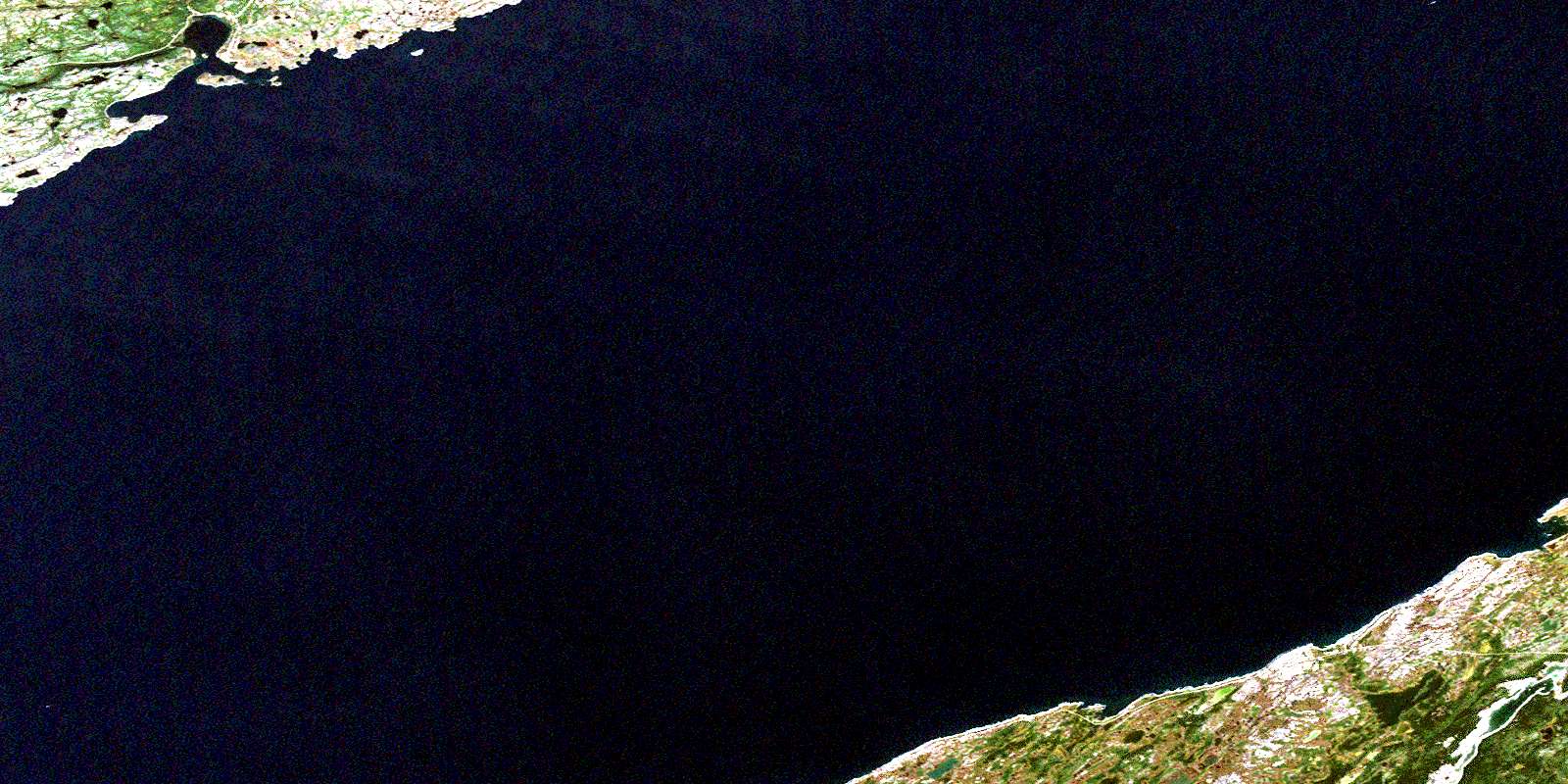
© Department of Natural Resources Canada. All rights reserved.
