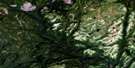
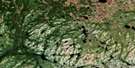
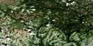
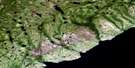
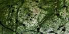
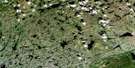
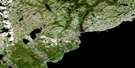
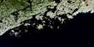
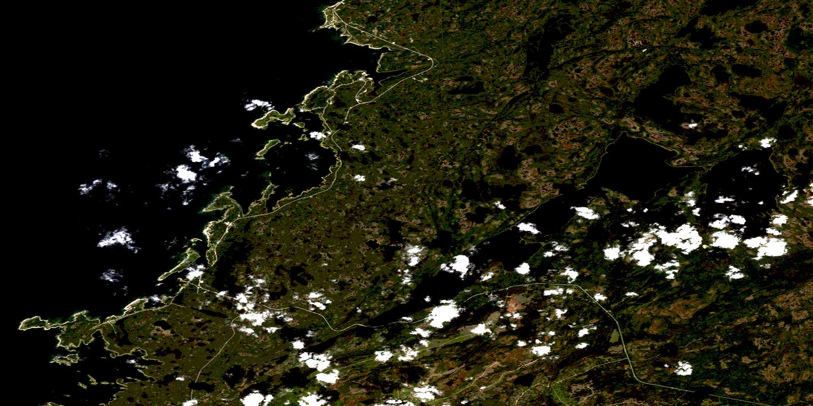
Brig Bay Satellite Image Map
Download Free Aerial Photo 012P02 at 1:50,000 scale
Brig Bay Satellite Imagery
To view this satellite map, mouse over the air photo on the right.
You can also download this satellite image map for free:
012P02 Brig Bay high-resolution satellite image map.
Maps for the Brig Bay aerial map sheet 012P02 at 1:50,000 scale are also available in these versions:
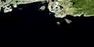
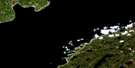
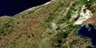
Brig Bay Surrounding Area Aerial Photo Maps
 |
 |
 |
 |
 |
 |
 |
 |
 |
 |
 |
 |
 |
 |
© Department of Natural Resources Canada. All rights reserved.
Brig Bay Gazetteer
The following places can be found on satellite image map 012P02 Brig Bay:
Brig Bay Satellite Image: Bays
Anchor CoveBird Cove
Black Duck Cove
Brig Bay
Dog Cove
East Cove
Fisherman Cove
Fisherman Cove
Golfe du Saint-Laurent
Gulf of St. Lawrence
North Cove
Old Ferolle Harbour
Pigeon Cove
Pond Cove
Seal Cove
South Bay
South Cove
Southeast Cove
St. Barbe Bay
St. Barbe Harbour
Ste. Genevieve Bay
Traitant Cove
Winter Cove
Brig Bay Satellite Image: Capes
Anchor PointBeach Point
Cape Ste. Genevieve
Debon Peninsula
Dog Peninsula
Dog Point
Forresters Point
Front Point
Genge Point
Grave Point
Grelee Point
Harbour Point
Ice Point
Northern Peninsula
Plum Point
Pond Point
Rock Point
Seal Point
Southwest Point
St. Barbe Point
Stony Point
Brig Bay Satellite Image: Channels
Middle PassNorth Pass
Northern Pass
South Pass
Southern Pass
Brig Bay Satellite Image: Islands
Beef IslandBird Islands
Brushwood Island
Cape Island
Coot Island
Current Island
Entrance Island
Entry Island
Fish Island
Gooseberry Island
Green Islands
Lobster Island
Moyac Island
Mutton Island
Old Ferolle Island
Rase Island
Wooded Island
Brig Bay Satellite Image: Lakes
Angle PondBlack Duck Lake
Castor Tilt Pond
East Castor Pond
Eastern Lake
Feeder Pond
Franks Pond
Grand Pond
Kellys Pond
Long Steady
Muskrat Pond
Muskrat Pond
Owl Pond
Round Lake
Ten Mile Lake
Tilt Pond
Western Brook Pond
Brig Bay Satellite Image: Mountains
Mount St. MargaretWoody Hill
Brig Bay Satellite Image: Rivers
Bear BrookEast Castor Brook
East River
Eight Brook
Franks Brook
Kellys Brook
Manuels Feeder
Manuels River
Muskrat Brook
Roses Feeder
Salmon River
Ste. Genevieve River
West River
West Roses Feeder
Brig Bay Satellite Image: Shoals
Anchor LedgeCrab Rocks
Grand Platter Rocks
Green Rocks
Porpoise Rock
Winter Flat
Brig Bay Satellite Image: Towns
Anchor PointBird Cove
Brig Bay Satellite Image: Unincorporated areas
Black Duck CoveBlue Cove
Brig Bay
Current Island
Forresters Point
Forrest's Point
Pidgeon Cove-St. Barbe
Pigeon Cove
Plum Point
Plum Point
Pond Cove
St Barbe
© Department of Natural Resources Canada. All rights reserved.
