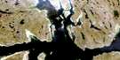
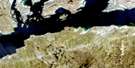
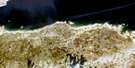
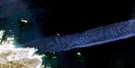
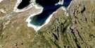
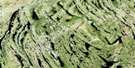
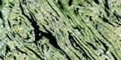
Lac Harveng Satellite Image Map
Download Free Aerial Photo 024K05 at 1:50,000 scale
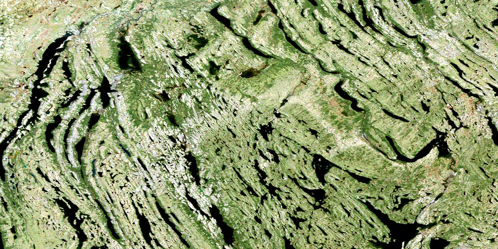
Lac Harveng Satellite Imagery
To view this satellite map, mouse over the air photo on the right.
You can also download this satellite image map for free:
024K05 Lac Harveng high-resolution satellite image map.
Maps for the Lac Harveng aerial map sheet 024K05 at 1:50,000 scale are also available in these versions:
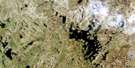
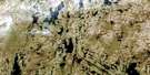
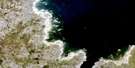
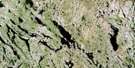
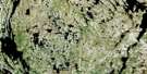
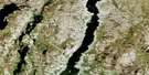
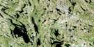
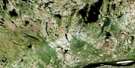
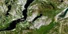
Lac Harveng Surrounding Area Aerial Photo Maps
 |
 |
 |
 |
 |
 |
 |
 |
 |
 |
 |
 |
 |
 |
 |
 |
© Department of Natural Resources Canada. All rights reserved.
Lac Harveng Gazetteer
The following places can be found on satellite image map 024K05 Lac Harveng:
Lac Harveng Satellite Image: Lakes
Lac ArgnatalikLac Arnatalik
Lac Baby
Lac Bourgault
Lac Brunet
Lac Carol
Lac Clotilde
Lac de la Pyroxénite
Lac de l'Avoine
Lac de l'Indice
Lac Deharveng
Lac des Haches
Lac des Moineaux
Lac Faujas
Lac Gerido
Lac Greenbush
Lac Harveng
Lac Hugues
Lac Jean-Michel
Lac Lachance
Lac Lafortune
Lac Lavallée
Lac Montplaisir
Lac Nuluarniavik
Lac Pinette
Lac Soucy
Lac Thierry
Lac Ukunngaalik
Lac Wall
Lacs Qamaniik
Lac Harveng Satellite Image: Mountains
Mont SiukkaqLac Harveng Satellite Image: Rivers
Rivière DeharvengRivière Harveng
© Department of Natural Resources Canada. All rights reserved.
024K Related Maps:
024K Kuujjuaq024K01E Kuujjuaq
024K01W Kuujjuaq
024K02 Lac Gabriel
024K03 Lac Thevenet
024K04 Lac Gerido
024K05E Lac Harveng
024K05W Lac Harveng
024K06 Lac De Freneuse
024K07 Lac Diana
024K08 Ile Hendry
024K09E Anchor Island
024K09W Anchor Island
024K10E Lac Du Basalte
024K10W Lac Du Basalte
024K11 Lac Ballantyne
024K12 Tasiujaq
024K13 Lac Lucille
024K14E Passage Aux Feuilles
024K14W Passage Aux Feuilles
024K15 Lac Kaslac
024K16 Pointe Ragged
