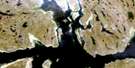
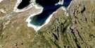
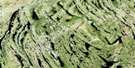
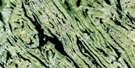
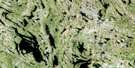
Lac Gabriel Satellite Image Map
Download Free Aerial Photo 024K02 at 1:50,000 scale
Lac Gabriel Satellite Imagery
To view this satellite map, mouse over the air photo on the right.
You can also download this satellite image map for free:
024K02 Lac Gabriel high-resolution satellite image map.
Maps for the Lac Gabriel aerial map sheet 024K02 at 1:50,000 scale are also available in these versions:
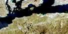
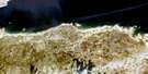
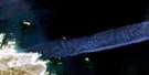
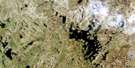
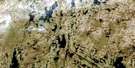
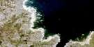
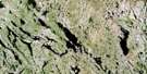
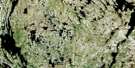
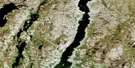
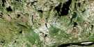
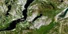
Lac Gabriel Surrounding Area Aerial Photo Maps
 |
 |
 |
 |
 |
 |
 |
 |
 |
 |
 |
 |
 |
 |
 |
 |
© Department of Natural Resources Canada. All rights reserved.
Lac Gabriel Gazetteer
The following places can be found on satellite image map 024K02 Lac Gabriel:
Lac Gabriel Satellite Image: Beaches
Batture PangaligiaqLac Gabriel Satellite Image: Capes
Pointe IssivautaalukLac Gabriel Satellite Image: Lakes
Lac à FoinLac Diana
Lac Fortin
Lac Gabriel
Lac Issivautaaluk
Lac Kavisilirlalik
Lac Murray
Lac Nivirvik
Lac Qangattajuvinirtalik
Lac Qirnitaaralik
Lac Raphaël
Lac Tasiguluk
Lac Tasikutaaq
Lac Turcotte
Lac Vert
Lac Gabriel Satellite Image: Mountains
Colline KupatalikColline Qingaujaq
Lac Gabriel Satellite Image: Rivers
Rivière KoksoakRivière Kupatalik
Ruisseau aux Cailloux
Lac Gabriel Satellite Image: Unincorporated areas
Ikualavik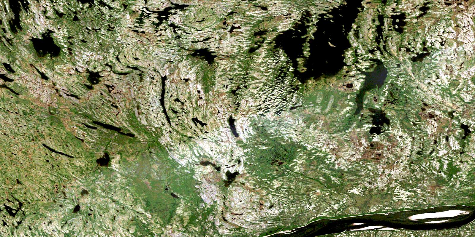
© Department of Natural Resources Canada. All rights reserved.
024K Related Maps:
024K Kuujjuaq024K01E Kuujjuaq
024K01W Kuujjuaq
024K02 Lac Gabriel
024K03 Lac Thevenet
024K04 Lac Gerido
024K05E Lac Harveng
024K05W Lac Harveng
024K06 Lac De Freneuse
024K07 Lac Diana
024K08 Ile Hendry
024K09E Anchor Island
024K09W Anchor Island
024K10E Lac Du Basalte
024K10W Lac Du Basalte
024K11 Lac Ballantyne
024K12 Tasiujaq
024K13 Lac Lucille
024K14E Passage Aux Feuilles
024K14W Passage Aux Feuilles
024K15 Lac Kaslac
024K16 Pointe Ragged
