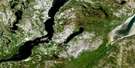
Kuujjuaq Satellite Image Map
Download Free Aerial Photo 024K01 at 1:50,000 scale
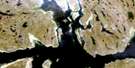
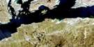
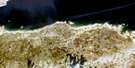
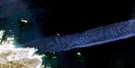
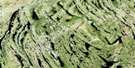
Kuujjuaq Satellite Imagery
To view this satellite map, mouse over the air photo on the right.
You can also download this satellite image map for free:
024K01 Kuujjuaq high-resolution satellite image map.
Maps for the Kuujjuaq aerial map sheet 024K01 at 1:50,000 scale are also available in these versions:
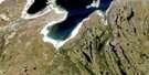
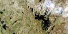
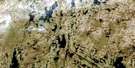
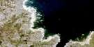
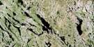
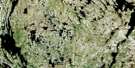
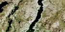
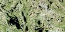
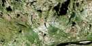
Kuujjuaq Surrounding Area Aerial Photo Maps
 |
 |
 |
 |
 |
 |
 |
 |
 |
 |
 |
 |
 |
 |
 |
 |
© Department of Natural Resources Canada. All rights reserved.
Kuujjuaq Gazetteer
The following places can be found on satellite image map 024K01 Kuujjuaq:
Kuujjuaq Satellite Image: Air navigation features
Aéroport de KuujjuaqKuujjuaq Satellite Image: Bays
Anse NascopieBaie Siuraaluk
Mouillage Umiajjuatalik
Kuujjuaq Satellite Image: Capes
Cap WhalesPointe Illukuluttalik
Pointe Nuvukuluk
Pointe Nuvukutaaq
Pointe Qilalugarniavik
Pointe Umiakutuutalik
Kuujjuaq Satellite Image: Channels
Passe QurngukulukKuujjuaq Satellite Image: Islands
Grande île ElbowÎle Bar
Île Big Elbow
Île Midway
Île Qikirtakuluk
Île Urpilik
Îles Qikirtaguluit
Petite île Elbow
Kuujjuaq Satellite Image: Lakes
Lac HendryLac Kohlmeister
Lac Maroinalik
Lac Misaulik
Lac Qaummaajuulik
Lac Qaungijartuisivik
Lac Sanningajualuk
Lac Stewart
Lac Tasiik
Lac Tasikallak
Lac Tasirluk
Lac White Fish
Kuujjuaq Satellite Image: Miscellaneous
Centrale de KuujjuaqÉolienne Kaiviituk
Notre-Dame-de-Fatima
Poste de Kuujjuaq
Kuujjuaq Satellite Image: Mountains
Abrupt TulagiaqColline Chapel
Colline Qarqaaluk
Kuujjuaq Satellite Image: Plains
Terrasse KatjikKuujjuaq Satellite Image: Rapids
Rapide SarvakulukKuujjuaq Satellite Image: Rivers
Rivière Assaasijuup KuukulungaRivière False
Rivière Koksoak
Ruisseau Highfall
Ruisseau Kuukuluk
Ruisseau Saigurniavik
Ruisseau Siuralik
Kuujjuaq Satellite Image: River features
The ElbowKuujjuaq Satellite Image: Unincorporated areas
Fort-ChimoKuujjuaq
Saugattalik
Umingmaqautik
Kuujjuaq Satellite Image: Villages
Kuujjuaq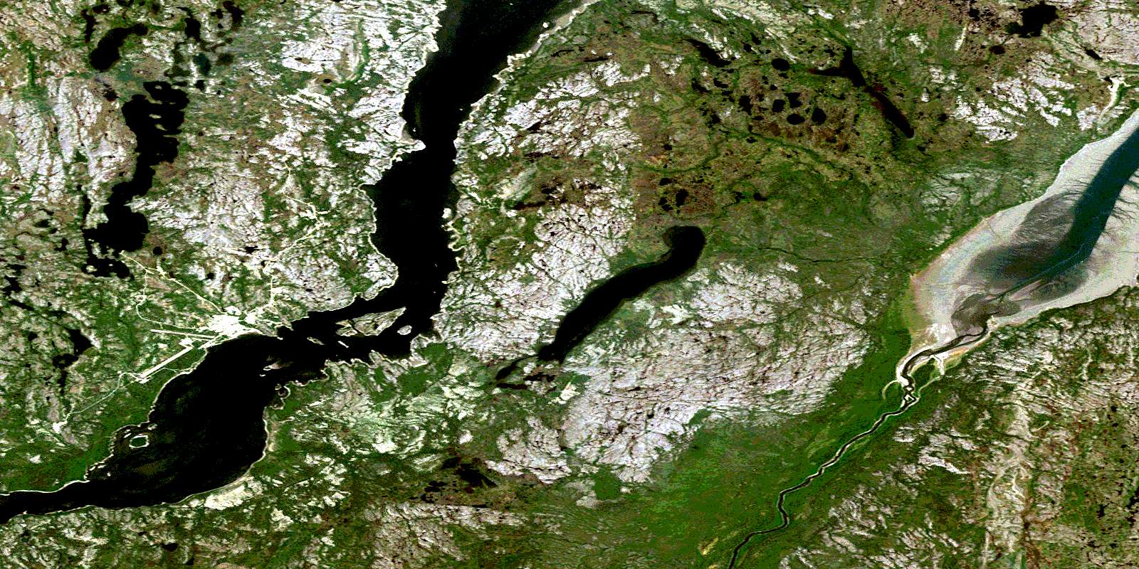
© Department of Natural Resources Canada. All rights reserved.
024K Related Maps:
024K Kuujjuaq024K01E Kuujjuaq
024K01W Kuujjuaq
024K02 Lac Gabriel
024K03 Lac Thevenet
024K04 Lac Gerido
024K05E Lac Harveng
024K05W Lac Harveng
024K06 Lac De Freneuse
024K07 Lac Diana
024K08 Ile Hendry
024K09E Anchor Island
024K09W Anchor Island
024K10E Lac Du Basalte
024K10W Lac Du Basalte
024K11 Lac Ballantyne
024K12 Tasiujaq
024K13 Lac Lucille
024K14E Passage Aux Feuilles
024K14W Passage Aux Feuilles
024K15 Lac Kaslac
024K16 Pointe Ragged
