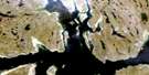
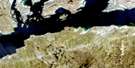
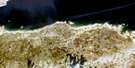
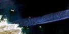
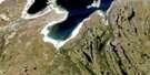
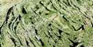
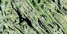
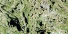
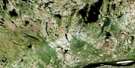
Anchor Island Satellite Image Map
Download Free Aerial Photo 024K09 at 1:50,000 scale
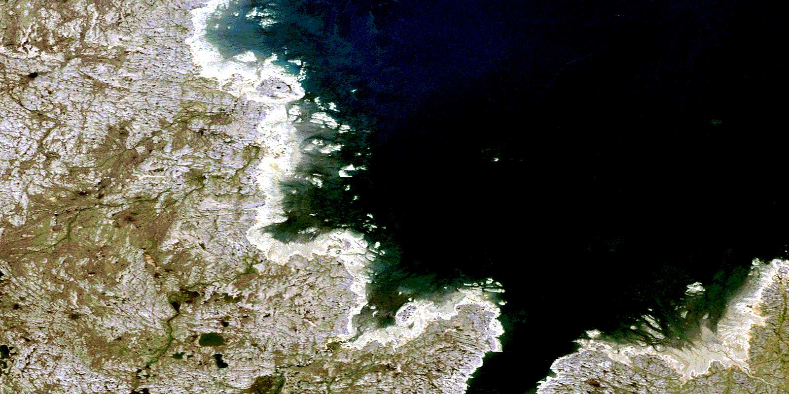
Anchor Island Satellite Imagery
To view this satellite map, mouse over the air photo on the right.
You can also download this satellite image map for free:
024K09 Anchor Island high-resolution satellite image map.
Maps for the Anchor Island aerial map sheet 024K09 at 1:50,000 scale are also available in these versions:
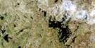
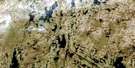
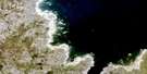
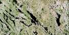
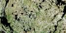
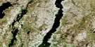
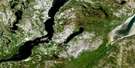
Anchor Island Surrounding Area Aerial Photo Maps
 |
 |
 |
 |
 |
 |
 |
 |
 |
 |
 |
 |
 |
 |
 |
 |
© Department of Natural Resources Canada. All rights reserved.
Anchor Island Gazetteer
The following places can be found on satellite image map 024K09 Anchor Island:
Anchor Island Satellite Image: Bays
Anse AmmujaarituqAnse Amujaarittuq
Baie d'Ungava
Baie Kangirsinialuk
Baie Sawtooth
Baie Sèche
Baie Sèche
Baie Sham
Kangirsinialuk Bay
Sawtooth Bay
Schnak Cove
Sham Bay
Ungava Bay
Anchor Island Satellite Image: Miscellaneous campsites
Camp IllualuttalikAnchor Island Satellite Image: Capes
Cap InuksutujuqCap Inussutujuq
Pointe Aisavartalik
Pointe Asshavuktalik
Pointe Congnarauya
Pointe Nuvukutaaq
Pointe Qirniraujaq
Anchor Island Satellite Image: Islands
Anchor IslandArchipel Qikirtaajuit
Île Anchor
Île Double
Île Qikirtaajuit
Île Qikirtaguluk
Île Qikirtaujaaluk
Îles Itittaviit
Itittaviit Islands
Pauktorvik Island
Qikirtaajuit Islands
Qikirtaguluk Island
Anchor Island Satellite Image: Lakes
Lac TasiapikAnchor Island Satellite Image: Mountains
The WartAnchor Island Satellite Image: Rivers
Rivière KoksoakRivière Kuuguluk
Rivière Kuukuluk
Rivière Kuuraapik
Rivière Nepihjee
Rivière Qalialuup
Rivière Qirniraujaup
Anchor Island Satellite Image: Shoals
Caution ShoalsOctopus Reef
Récif Ikkaruapik
Récifs Octopus
Springs Reef
© Department of Natural Resources Canada. All rights reserved.
024K Related Maps:
024K Kuujjuaq024K01E Kuujjuaq
024K01W Kuujjuaq
024K02 Lac Gabriel
024K03 Lac Thevenet
024K04 Lac Gerido
024K05E Lac Harveng
024K05W Lac Harveng
024K06 Lac De Freneuse
024K07 Lac Diana
024K08 Ile Hendry
024K09E Anchor Island
024K09W Anchor Island
024K10E Lac Du Basalte
024K10W Lac Du Basalte
024K11 Lac Ballantyne
024K12 Tasiujaq
024K13 Lac Lucille
024K14E Passage Aux Feuilles
024K14W Passage Aux Feuilles
024K15 Lac Kaslac
024K16 Pointe Ragged
