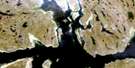
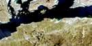
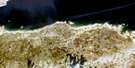
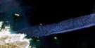
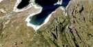
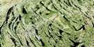
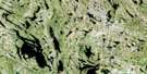
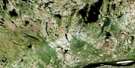
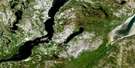
Lac Lucille Satellite Image Map
Download Free Aerial Photo 024K13 at 1:50,000 scale
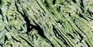
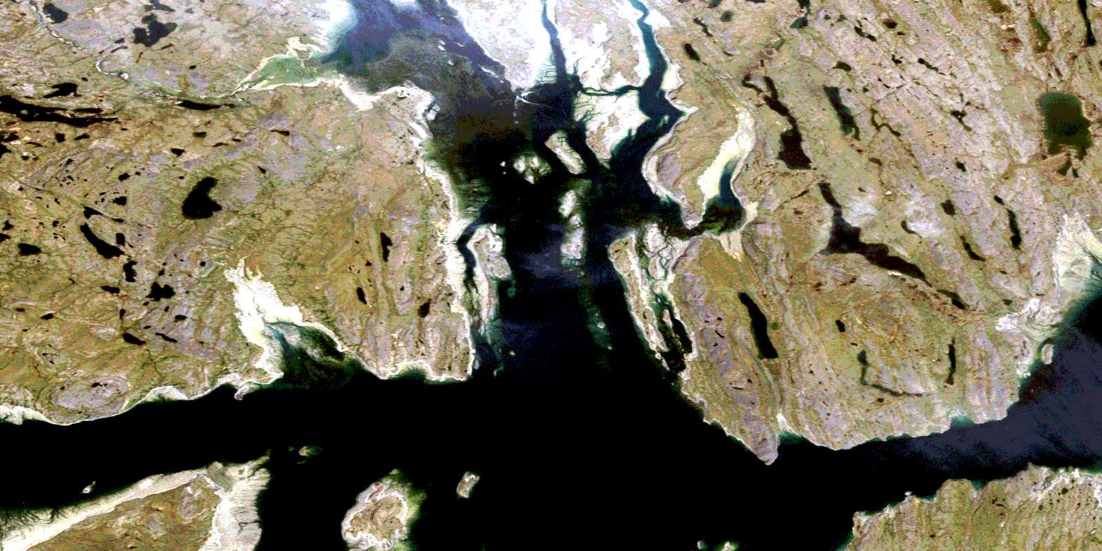
Lac Lucille Satellite Imagery
To view this satellite map, mouse over the air photo on the right.
You can also download this satellite image map for free:
024K13 Lac Lucille high-resolution satellite image map.
Maps for the Lac Lucille aerial map sheet 024K13 at 1:50,000 scale are also available in these versions:
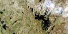
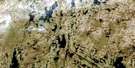
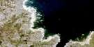
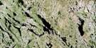
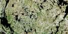
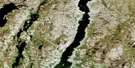
Lac Lucille Surrounding Area Aerial Photo Maps
 |
 |
 |
 |
 |
 |
 |
 |
 |
 |
 |
 |
 |
 |
 |
 |
© Department of Natural Resources Canada. All rights reserved.
Lac Lucille Gazetteer
The following places can be found on satellite image map 024K13 Lac Lucille:
Lac Lucille Satellite Image: Bays
Anse aux RefugesAnse du Comptoir
Baie aux Baleines
Baie des Arpenteurs
Baie Makimmataliup
Baie Profonde
Baie Rouge
Baie Tulagiaq
Baie Ungallijuaq
Causeway Cove
Deep Harbour
North Arm
Lac Lucille Satellite Image: Capes
Cap IjukkatissivikCap Qalirusiq
Cap Qulussuit
Pointe Algerine
Pointe Bluff
Pointe de la Rivière
Pointe de l'Algerine
Pointe Kennedy
Pointe Mary
Pointe Nuvukutaaq
Pointe Reef
Pointe Sinanniavik
Lac Lucille Satellite Image: Channels
Passage aux FeuillesPassage Leaf
Passe Algerine
Passe de l'Algerine
Lac Lucille Satellite Image: Islands
Île CopterÎle de l'Hélicoptère
Île en Cône
Île Qirnilik
Île Retty
Île Rowe
Île Tillu
Îles Piliuliit
Îles Radisson
Îlet Bittern
Îlot du Minerai de Fer
Îlot Mandarin
Îlot Old Squaw
Îlot Ore
Îlot Poly
Lac Lucille Satellite Image: Lakes
Lac AnneLac aux Feuilles
Lac Iqalunniavik
Lac Lafond
Lac Luc
Lac Lucille
Lac Mannic
Lac Monique
Lac Raymond
Lac Lucille Satellite Image: Mountains
Collines QulussuitLac Lucille Satellite Image: Rivers
Rivière BoyerRivière Buron
Rivière Conefroy
Rivières Saattuit Tasingata
Ruisseau Iqalunniaviit
Lac Lucille Satellite Image: Valleys
Great FurrowLa Grande Ravine
La Petite Ravine
Lesser Furrow
© Department of Natural Resources Canada. All rights reserved.
024K Related Maps:
024K Kuujjuaq024K01E Kuujjuaq
024K01W Kuujjuaq
024K02 Lac Gabriel
024K03 Lac Thevenet
024K04 Lac Gerido
024K05E Lac Harveng
024K05W Lac Harveng
024K06 Lac De Freneuse
024K07 Lac Diana
024K08 Ile Hendry
024K09E Anchor Island
024K09W Anchor Island
024K10E Lac Du Basalte
024K10W Lac Du Basalte
024K11 Lac Ballantyne
024K12 Tasiujaq
024K13 Lac Lucille
024K14E Passage Aux Feuilles
024K14W Passage Aux Feuilles
024K15 Lac Kaslac
024K16 Pointe Ragged
