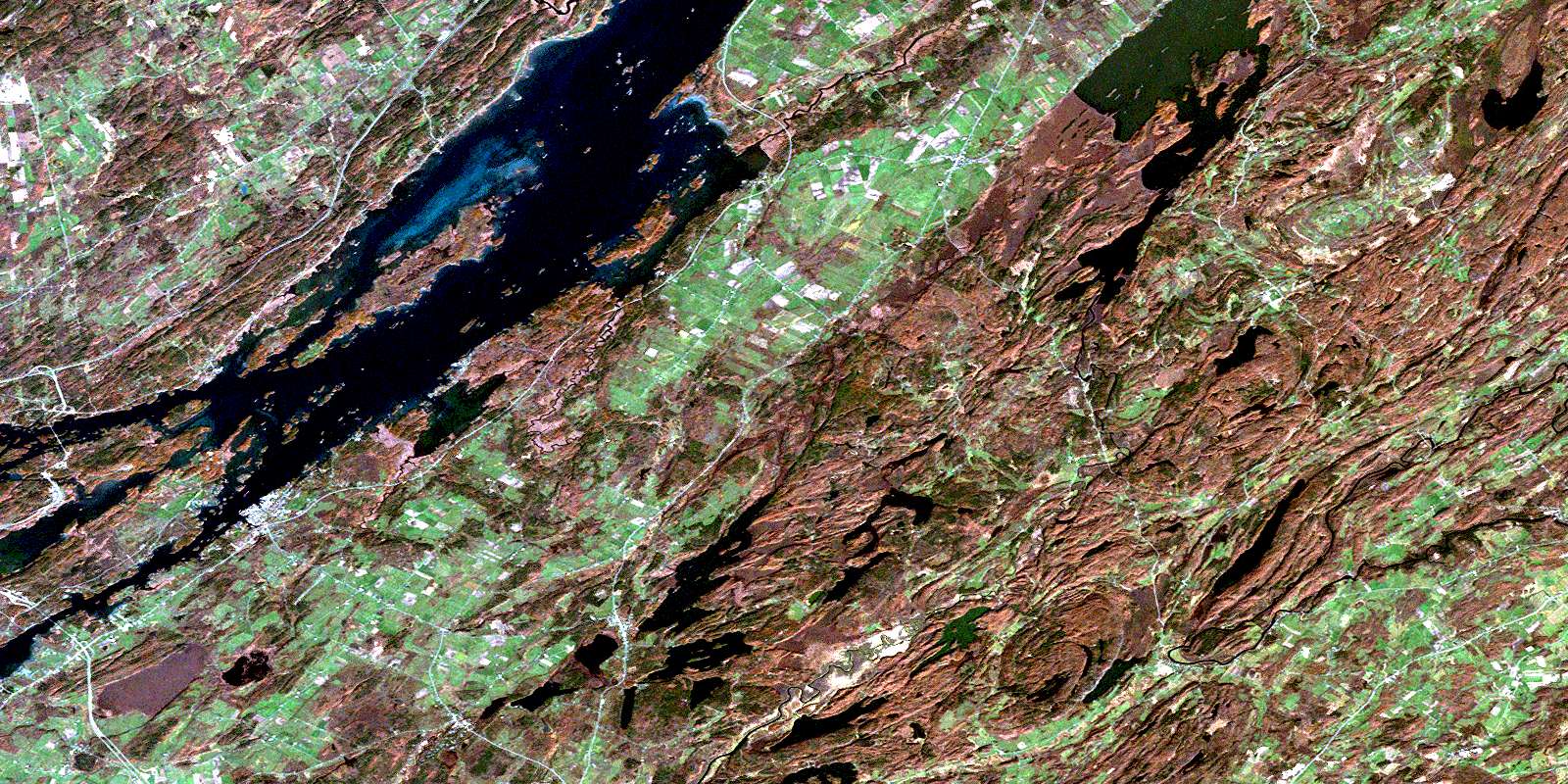
Mallorytown Satellite Image Map
Download Free Aerial Photo 031B05 at 1:50,000 scale
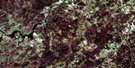
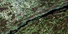
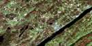
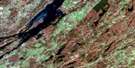
Mallorytown Satellite Imagery
To view this satellite map, mouse over the air photo on the right.
You can also download this satellite image map for free:
031B05 Mallorytown high-resolution satellite image map.
Maps for the Mallorytown aerial map sheet 031B05 at 1:50,000 scale are also available in these versions:
Mallorytown Surrounding Area Aerial Photo Maps
 |
 |
||
 |
|||
 |
|||
© Department of Natural Resources Canada. All rights reserved.
Mallorytown Gazetteer
The following places can be found on satellite image map 031B05 Mallorytown:
Mallorytown Satellite Image: Bays
Browns BayBucks Bay
Eye Harbour
Patterson Bay
Senecal Bay
Smugglers Cove
Thompson's Bay
Mallorytown Satellite Image: Capes
Bridge IslandBuell's Point
Cherry Point
Cook Point
Eliot Point
Elliott Point
Fermans Point
Patterson Point
Pitch Pine Point
Sifton Point
Swiftwater Point
Vansittart Point
Whitney Point
Whitney Point
Mallorytown Satellite Image: Channels
Blacksnake PassageLost Channel
Needles Eye
Raft Narrows
Tar Island Narrows
Mallorytown Satellite Image: Geographical areas
EscottFront of Escott
Front of Leeds and Lansdowne
Front of Yonge
Lansdowne
Leeds
Rear of Leeds and Lansdowne
Rear of Yonge and Escott
Rear of Yonge and Escott
Yonge
Mallorytown Satellite Image: Islands
Adelaide IslandAmateur Islands
Ash Island
Aspasia Island
Baby Tar Island
Baggage Island
Bagot Island
Ball Island
Beaulieu Island
Berry Island
Bloomfield Island
Bobs Island
Bonnie View Island
Bratt Island
Bridge Island
Broadbill Island
Broughton Island
Brown Island
Bryce's Island
Buck Island
Carnegie Island
Channel Island
Chichester Island
Chimney Island
Cleopatra Island
Club Island
Constance Island
Cook Island
Cordwood Island
Corn Island
Corn Islands
Dashwood Island
Doctor Island
Dromedary Island
Duck Island
Fancy Rock Island
Fishdam Island
Flying Mallard Islands
Ganawaga Island
Georgina Island
Goose Island
Grape Island
Grass Island
Grassy Point
Grenadier Island
Griswold Island
Gull Island
Harrowsmith Island
Hill Island
Himes Island
Hog Island
Honey Bee Island
Hooper Island
Hopper Island
Huckleberry Island
Ice Island
Indian Island
Ingall Island
Jeroy Island
Little Corn Islands
Little Grenadier Island
Lone Tree Island
Long Schooner Island
Lynedoch Island
Madawaska Island
Manomin Island
Marsh Island
McMahon Island
Miller Island
Needle Island
Niddery Islands
O'Neil Island
Palm Island
Peel Island
Pilot Island
Pine Island
Poole Island
Poverty Island
Princess Island
Rabbit Island
Reciprocity Island
Redstone Isle
Renny Island
Retreat Island
Reveille Island
Robert Island
Robinson Island
Rolleston Island
Rose Island
Rough Island
Round Island
Shanty Island
Slim Island
Squaw Island
St. Helena Island
Surveyor Island
Tar Island
Thousand Islands
Trident Island
Twin Islands
Van Buren Island
Vansittart Island
Virgin Island
Wallace Island
Watch Island
Whirlpool Island
Willoughby Island
Wood Island
Yeo Island
Zavikon Island
Mallorytown Satellite Image: Lakes
Lake of the IslesMallorytown Satellite Image: Mountains
Quabbin HillMallorytown Satellite Image: Major municipal/district area - major agglomerations
United Counties of Leeds and GrenvilleMallorytown Satellite Image: Other municipal/district area - miscellaneous
Front of EscottFront of Leeds and Lansdowne
Front of Yonge
Leeds and the Thousand Islands
Rear of Leeds and Lansdowne
Mallorytown Satellite Image: Conservation areas
Charleston Lake Provincial ParkParc national du Canada des Îles-du-Saint-Laurent
St. Lawrence Islands National Park of Canada
Mallorytown Satellite Image: Provinces
OntarioMallorytown Satellite Image: Rivers
Beaver Meadow CreekBensons Rift
Brooker's Creek
Fleuve Saint-Laurent
International Rift
Jones Creek
Landons Rift
Larue Creek
LaRue Creek
Little Mud Creek
Mud Creek
Polly Creek
St. Lawrence River
The Rift
Mallorytown Satellite Image: River features
Fiddlers ElbowMallorytown Satellite Image: Shoals
Broughton Island ShoalsCorn Island Shoals
Duck Island Shoal
Duck Rock
Eliot Shoal
Elliott Shoal
Empire Shoal
Grenadier Shoals
Griswold Shoals
Haffie Shoal
Haskell Shoal
Hog Island Shoal
Johnny Buck Rock
Lower Ice Island Shoals
Peel Island Shoal
Poole Island Shoal
Poverty Island Lower Shoal
Reveille Shoal
Upper Ice Island Shoals
Van Buren Island Shoals
Mallorytown Satellite Image: Unincorporated areas
BowellDarlingside
Escott
Escott Centre
Grenadier Island
Holland
La Rue Mills
LaRue Mills
Mallorytown
Mallorytown Landing
Mitchellville
Narrows
Pooles Resort
Quabbin
Quabbin Hill
Rockfield
Rockport
Selton
Tilley
Union
Waterton
© Department of Natural Resources Canada. All rights reserved.
