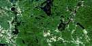
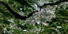
Winchester Satellite Image Map
Download Free Aerial Photo 031G03 at 1:50,000 scale
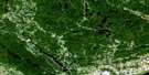
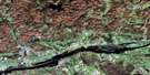
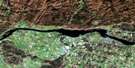
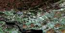
Winchester Satellite Imagery
To view this satellite map, mouse over the air photo on the right.
You can also download this satellite image map for free:
031G03 Winchester high-resolution satellite image map.
Maps for the Winchester aerial map sheet 031G03 at 1:50,000 scale are also available in these versions:
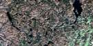
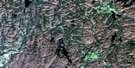
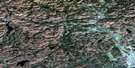
Winchester Surrounding Area Aerial Photo Maps
 |
 |
 |
 |
 |
 |
 |
 |
 |
 |
 |
 |
 |
 |
 |
 |
© Department of Natural Resources Canada. All rights reserved.
Winchester Gazetteer
The following places can be found on satellite image map 031G03 Winchester:
Winchester Satellite Image: City
OttawaWinchester Satellite Image: Geographical areas
CambridgeDundas
Finch
Matilda
Mountain
National Capital Region
Osgoode
Osnabruck
Région de la Capitale nationale
Roxborough
Russell
Russell
Stormont
Williamsburgh
Winchester
Winchester Satellite Image: Hydraulic construction
Allison DrainAnnable Drain
Baker Drain
Bancroft Drain
Bancroft-McIntyre Drain
Beckstead Drain
Beggs-Barkley Drain
Bilow Drain
Casselman Drain
Charles M. Whittaker Drain
Cinnamon Drain
Cross-Summers Drain
Devanney Branch
Dillabough-Ouderkirk Drain
Dunbar-Adams-Campbell Drain
East Branch Drain
East Branch Gannon Drain
Ennis Drain
Eva McIntosh Drain
Foley Drain
Forsyth Drain
Gannon Drain
Gillies Drain
H.C. Barkley Drain
Henderson Drain
J.D. Forsyth Drain
Jeffrey-Barkley Drain
Johnson-Ouderkirk Drain
Johnstone Drain
Marselis Drain
McIntyre-Lagrove Drain
McLean Drain
McMartin Drain
McMillan Drain
McMonagle Drain
Milton-Hoy Drain
Moore Drain
Moriarty Drain
Mullin Drain
Newington Drain
Pitcher Drain
Servage Drain
Shaver-Harper Municipal Drain
Stark Drain
Steele Drain
Steele-McElherin Drain
Timmins Drain
Weager-McMillan Drain
Winchester Satellite Image: Mountains
Hyndmans RidgeKerrs Ridge
Winchester Satellite Image: Major municipal/district area - major agglomerations
CarletonOttawa-Carleton
United Counties of Prescott and Russell
United Counties of Stormont, Dundas and Glengarry
Winchester Satellite Image: Other municipal/district area - miscellaneous
CaledoniaCambridge
Cornwall
Finch
Fitzroy
Goulbourn
Huntley
Marlborough
Matilda
Mountain
North Dundas
North Gower
North Stormont
Osgoode
Osnabruck
Rideau
Roxborough
Russell
South Dundas
South Plantagenet
South Stormont
The Nation
Torbolton
West Carleton
Williamsburgh
Winchester
Winchester Satellite Image: Rivers
Allen CreekBarkley Creek
Black Creek
Cook Creek
Dafoe Branch
Duff Creek
East Castor River
Hess Creek
Hoasic Creek
Hoople Creek
Kittle Creek
Little Castor River
McKay Creek
McLean Creek
Middle Castor River
Millers Creek
Moffatt Creek
North Branch South Nation River
Palen Creek
Payne River
Raisin River
Rivière Nation
Rivière Payne
Silver Creek
South Branch South Nation River
South Castor River
South Nation River
Stoney Creek
Toyes Creek
Whissell Creek
Winchester Satellite Image: Unincorporated areas
Annable SettlementBaldwins Bridge
Beckstead
Belmeade
Berwick
Bethune Bush
Bunker Hill
Bush Glen
Cahore
Cambridge
Cannamore
Cass Bridge
Chesterville
Cloverdale
Colquhoun
Connaught
Crysler
Dunbar
Elma
Felton
Finch
Forget
Forward
Gallingertown
Glenpayne
Goldfield
Grantley
Harmony
Harmony Church
Inkerman
Kenmore
Limerick
Lodi
Maple Ridge
Marionville
Marvelville
Melvin
Melvin Settlement
Metcalfe
Morewood
Mountain
Mulloys
Nation Valley
Newington
North Valley
North Winchester
Oak Valley
Orchardside
Ormond
Osnabruck Centre
Pleasant Valley
Rosehaven
Sandtown
Spring Hill
St. Albert Station
The Boyne
The Ninth
The Sixth
Vancamp
VanCamp
Vernon
Vinegar Hill
Winchester
Winchester Springs
Winchester Satellite Image: Low vegetation
Winchester BogWinchester Satellite Image: Villages
La Nation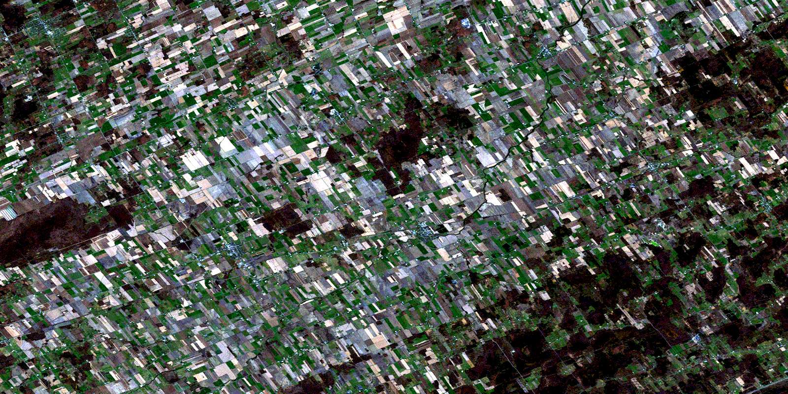
© Department of Natural Resources Canada. All rights reserved.
