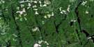
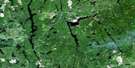
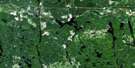
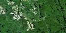
Shining Tree Satellite Image Map
Download Free Aerial Photo 041P11 at 1:50,000 scale
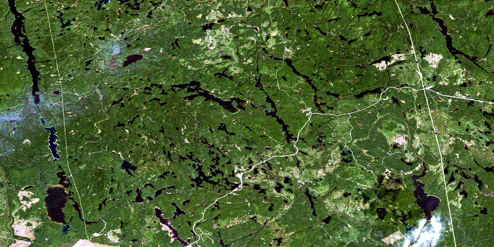
Shining Tree Satellite Imagery
To view this satellite map, mouse over the air photo on the right.
You can also download this satellite image map for free:
041P11 Shining Tree high-resolution satellite image map.
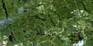
Maps for the Shining Tree aerial map sheet 041P11 at 1:50,000 scale are also available in these versions:
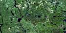
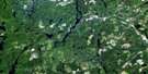
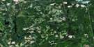
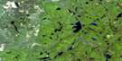
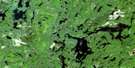
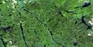
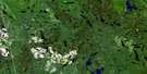
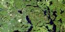
Shining Tree Surrounding Area Aerial Photo Maps
 |
 |
 |
 |
 |
 |
 |
 |
 |
 |
 |
 |
 |
 |
 |
 |
© Department of Natural Resources Canada. All rights reserved.
Shining Tree Gazetteer
The following places can be found on satellite image map 041P11 Shining Tree:
Shining Tree Satellite Image: Bays
Claw Creek BaySoutheast Arm
West Arm
Shining Tree Satellite Image: Geographical areas
AsquithBrunswick
Cabot
Churchill
Connaught
Fawcett
Kelvin
Knight
Leonard
Londonderry
Macmurchy
Miramichi
Natal
Timiskaming
Togo
Tyrrell
Shining Tree Satellite Image: Islands
McCrae IslandMcRae Island
Shining Tree Satellite Image: Lakes
Allin LakeArthur Lake
Ashburn Lake
Baker Lake
Barite Lake
Beilby Lake
Bigfour Lake
Bing Lake
Bob Lake
Bobtail Lake
Breeze Lake
Brush Lake
Burns Lake
Cabot Lake
Caput Lake
Caswell Lake
Chlorus Lake
Chris Lake
Clapper Lake
Clark Lake
Claw Lake
Cochrane Lake
Cond Lake
Connaught Lake
Cripple Lake
Cryderman Lake
East Shining Tree Lake
Elephant Head Lake
Eliza Lake
Eplett Lake
Esther Lake
Fawcett Lake
Foisey Lake
Foley Lake
Fournier Lake
Foxhead Lake
Frith Lake
Gary Lake
Gay Lake
Gordon Lake
Gosselin Lake
Granite Lake
Hare Lake
Hassett Lake
Herron Lake
Hook Lake
Houston Lake
Hydro Lake
Indian Lake
Jefferson Lake
Jepson Lake
Jerry Lake
Jess Lake
Jesse James Lake
Jonson Lake
Kelvin Lake
Ketchiwaboose Lake
Knothole Lake
Knox Lake
Lehmann Lake
Little Claw Lake
Little Esther Lake
Little Papoose Lake
Little Pigeon Lake
Lower Opikinimika Lake
Lucid Lake
Macdonald Lake
Macfie Lake
Marion Lake
Marne Lake
Marshrat Lake
Mataris Lake
Mattagami Lake
McIntyre Lake
Melia Lake
Michiwakenda Lake
Milly Lake
Miramichi Lake
Moon Lake
Moorecamp Lake
Mullen Lake
Nabakwasi Lake
Natal Lake
Nora Lake
North Foley Lake
Notround Lake
Oddur Lake
Okawakenda Lake
Ola Lake
Owl Lake
Papoose Lake
Pat Lake
Perkins Lake
Picket Lake
Pigeon Lake
Porphyry Lake
Ragen Lake
Rebecca Lake
Ribble Lake
Robbie Lake
Rosalie Lake
Sams Lake
Sandstrum Lake
Saville Lake
Seager Lake
Seganku Lake
Shining Tree Lake
Soot Lake
South Sandstrum Lake
Spade Lake
Speed Lake
Spider Lake
Spud Lake
Stewart Lake
Taylor Lake
Tetrapus Lake
Thorn Lake
Tiger Lake
Tina Lake
Upper Grassy Lake
Violet Lake
Wanatangua Lake
Waonga Lake
Wasapika Lake
West Shining Tree Lake
Wire Lake
Shining Tree Satellite Image: Conservation areas
MacMurchy Township End Moraine Provincial ParkShining Tree Satellite Image: Rapids
Calcite RapidsElbow Rapids
Houston Rapids
Ribble Rapids
Shining Tree Satellite Image: Rivers
Baker CreekBigfour Creek
Bobtail Creek
Breeze Creek
Chlorus Creek
Claw Creek
Donnegana River
Elephant Head Creek
Esther Creek
Foley Creek
Gosselin Creek
Hanover Creek
Hare Creek
Hydro Creek
Jess Creek
Jesse James Creek
Kelvin Creek
Marion Creek
Marne Creek
Milly Creek
Nabakwasi River
Natal Creek
Opikinimika River
Papoose Creek
Perth Creek
Pigeon Creek
Rebecca Creek
Sandstrum Creek
Saville Creek
Seager Creek
Seganku Creek
Shining Tree Creek
Spade Creek
Spider Creek
Sulphide Creek
West Montreal River
West Shining Tree Creek
West Wapus Creek
Shining Tree Satellite Image: Unincorporated areas
Mattagami LandingShining Tree
Tyranite
© Department of Natural Resources Canada. All rights reserved.
041P Related Maps:
041P Gogama041P01 Obabika Lake
041P02 Pilgrim Creek
041P03 Thor Lake
041P04 Low Water Lake
041P05 Westree
041P06 Opikinimika Lake
041P07 Smoothwater Lake
041P08 Lady Evelyn Lake
041P09 Elk Lake
041P10 Gowganda
041P11 Shining Tree
041P12 Gogama
041P13 Mattagami Lake
041P14 Sinclair Lake
041P15 Matachewan
041P16 Charlton
