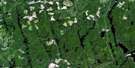
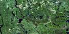
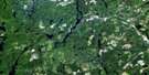
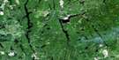
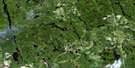
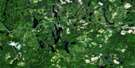
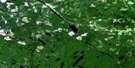
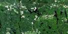
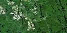
Charlton Satellite Image Map
Download Free Aerial Photo 041P16 at 1:50,000 scale
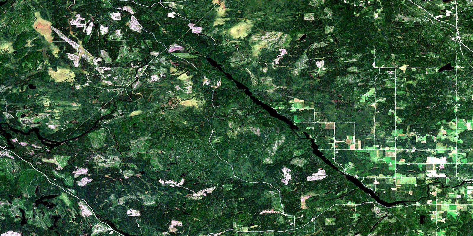
Charlton Satellite Imagery
To view this satellite map, mouse over the air photo on the right.
You can also download this satellite image map for free:
041P16 Charlton high-resolution satellite image map.
Maps for the Charlton aerial map sheet 041P16 at 1:50,000 scale are also available in these versions:
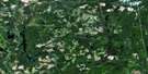
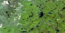
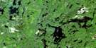
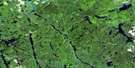
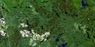
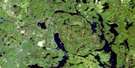
Charlton Surrounding Area Aerial Photo Maps
 |
 |
 |
 |
 |
 |
 |
 |
 |
 |
 |
 |
 |
 |
 |
 |
© Department of Natural Resources Canada. All rights reserved.
Charlton Gazetteer
The following places can be found on satellite image map 041P16 Charlton:
Charlton Satellite Image: Bays
McColl BayCharlton Satellite Image: Falls
Indian Chute FallsCharlton Satellite Image: Geographical areas
BeauchampBlain
Bryce
Chamberlain
Dack
Davidson
Farr
Flavelle
Gross
James
Kimberley
Marquis
Mickle
Pacaud
Robillard
Savard
Sharpe
Smyth
Timiskaming
Truax
Tudhope
Willison
Charlton Satellite Image: Islands
Ryan IslandCharlton Satellite Image: Lakes
Blackfox LakeElk Lake
Flavelle Lake
Fraser Lake
Greening Lake
Hough Lake
Hubert Lake
Kinogami Lake
Kushog Lake
Long Lake
Louise Lake
McLeod Lake
Mearow Lake
Mews Lake
Middleton Lake
Mitchell Lake
Moses Lake
Planty Lake
Robillard Lake
Round Lake
Souci Lake
Thomson Lake
Charlton Satellite Image: Other municipal/district area - miscellaneous
ChamberlainCharlton and Dack
Dack
James
Matachewan
Matachewan
Charlton Satellite Image: Conservation areas
Englehart River Fine Sand Plain and Waterway Provincial ParkCharlton Satellite Image: Rivers
Aidie CreekAlligator Creek
Blanche River
Council Creek
Crocodile Creek
Crooked Creek
Driftwood Creek
Englehart River
Englehart River
Explorer Creek
Flavelle Creek
Little Driftwood Creek
Middleton Creek
Montreal River
Moosehorn Creek
Planty Creek
Sunday Creek
Sydney Creek
Tamarac Creek
Teepee Creek
Charlton Satellite Image: Unincorporated areas
CharltonCharlton Station
Costello
Glenvale
Hough Lake
Mount MacDonald
Zeta
© Department of Natural Resources Canada. All rights reserved.
041P Related Maps:
041P Gogama041P01 Obabika Lake
041P02 Pilgrim Creek
041P03 Thor Lake
041P04 Low Water Lake
041P05 Westree
041P06 Opikinimika Lake
041P07 Smoothwater Lake
041P08 Lady Evelyn Lake
041P09 Elk Lake
041P10 Gowganda
041P11 Shining Tree
041P12 Gogama
041P13 Mattagami Lake
041P14 Sinclair Lake
041P15 Matachewan
041P16 Charlton
