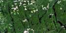
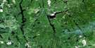
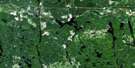
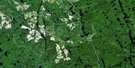
Pilgrim Creek Satellite Image Map
Download Free Aerial Photo 041P02 at 1:50,000 scale
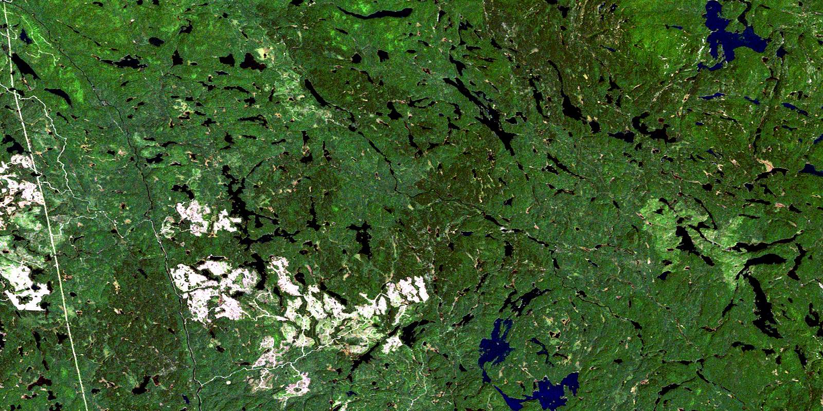
Pilgrim Creek Satellite Imagery
To view this satellite map, mouse over the air photo on the right.
You can also download this satellite image map for free:
041P02 Pilgrim Creek high-resolution satellite image map.
Maps for the Pilgrim Creek aerial map sheet 041P02 at 1:50,000 scale are also available in these versions:
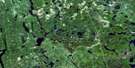
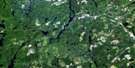
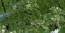
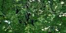
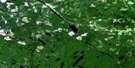
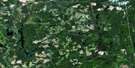
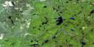
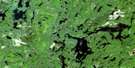
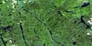
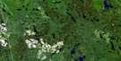
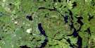
Pilgrim Creek Surrounding Area Aerial Photo Maps
 |
 |
 |
 |
 |
 |
 |
 |
 |
 |
 |
 |
 |
 |
 |
 |
© Department of Natural Resources Canada. All rights reserved.
Pilgrim Creek Gazetteer
The following places can be found on satellite image map 041P02 Pilgrim Creek:
Pilgrim Creek Satellite Image: Falls
Kettle FallsTwin Falls
Pilgrim Creek Satellite Image: Geographical areas
AcadiaBeresford
Clary
Cotton
DeMorest
Dundee
Ellis
Grigg
Haentschel
Howey
Marconi
McLeod
Parker
Seagram
Selby
Selkirk
Stobie
Stull
Turner
Valin
Pilgrim Creek Satellite Image: Lakes
Ames LakeApollo Lake
Banana Lake
Barron Lake
Bass Lake
Beaver Lake
Beavertooth Lake
Benner Lake
Beresford Lake
Big Lynx Lake
Big Marconi Lake
Bill Lake
Bluesucker Lake
Bowland Lake
Brennan Lake
Bull Lake
Bus Lake
Camp Seven Lake
Carl Lake
Cedar Lake
Centre Lake
Chain of Lakes
Dave Lake
Dougherty Lake
Eaglenest Lake
Einar Lake
Elbow Lake
First Lake
Florence Lake
Frederick Lake
Gail Lake
Ghoul Lake
Gourlay Lake
Grigg Lake
Haentschel Lake
Hamlow Lake
Hartman Lake
Hazel Lake
Keith Lake
Knight Lake
Laundrie Lake
Lawrence Lake
Limit Lake
Linger Lake
Lingo Lake
Little Bull Lake
Little Laundrie Lake
Little Lynx Lake
Little Marconi Lake
Long Lake
Lookout Lake
Lower High Lake
Lyman Lake
Maggie Lake
Marcia Lake
Marconi Lake
Marsh Lake
Muck Lake
Mudchannel Lake
Mudding Lake
Narrows Lake
Neault Lake
North Twin Lake
Nowater Lake
Nox Lake
O Lake
Parsons Lake
Paul Lake
Perkins Lake
Pilgrim Lake
Pinetorch Lake
Pole Line Lake
Puddle Lake
Rainy Lake
Ray Lake
Regan Lake
Renfrew Lake
River Lake
Rodd Lake
Samson Lake
Sandspit Lake
Seagram Lake
Second Lake
Selkirk Lake
Shiner Lake
Solace Lake
South Twin Lake
Stewart Lake
Stobie Lake
Stouffer Lake
Sunk Lake
Third Lake
Tillie Lake
Trailer Lake
Upper High Lake
Yorston Lake
Pilgrim Creek Satellite Image: Mountains
Lookout HillPilgrim Creek Satellite Image: Conservation areas
Jim Edwards Lake Conservation ReserveLady Evelyn-Smoothwater Provincial Park
Sturgeon River Provincial Park
Pilgrim Creek Satellite Image: Rivers
Ames CreekBalsam Creek
Banana Creek
Bowland River
Burwash Creek
Bus Creek
Dougherty Creek
Fly Creek
Haentschel Creek
Knight Creek
Little Marconi Creek
Marconi Creek
Marconi Creek
Nasmith Creek
Neault Creek
Pilgrim Creek
Pinetorch Creek
Rivière Wanapitei
Selkirk Creek
Solace Creek
Stobie Creek
Stull Creek
Sturgeon River
Tillie Creek
Upper Pilgrim Creek
Wanapitei River
Yorston River
© Department of Natural Resources Canada. All rights reserved.
041P Related Maps:
041P Gogama041P01 Obabika Lake
041P02 Pilgrim Creek
041P03 Thor Lake
041P04 Low Water Lake
041P05 Westree
041P06 Opikinimika Lake
041P07 Smoothwater Lake
041P08 Lady Evelyn Lake
041P09 Elk Lake
041P10 Gowganda
041P11 Shining Tree
041P12 Gogama
041P13 Mattagami Lake
041P14 Sinclair Lake
041P15 Matachewan
041P16 Charlton
