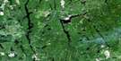
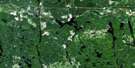
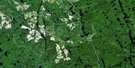
Matachewan Satellite Image Map
Download Free Aerial Photo 041P15 at 1:50,000 scale
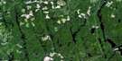
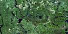
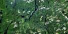
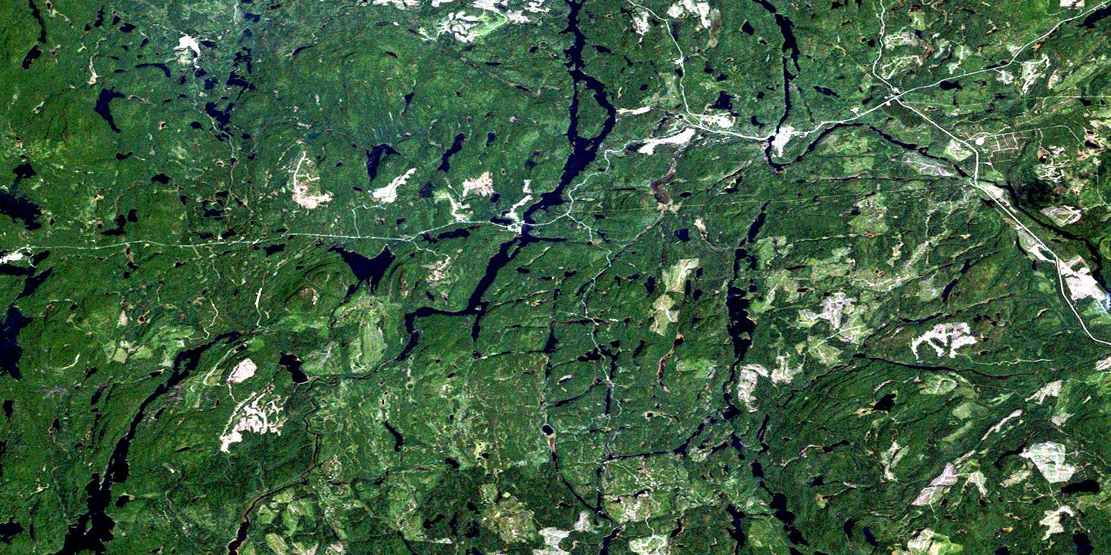
Matachewan Satellite Imagery
To view this satellite map, mouse over the air photo on the right.
You can also download this satellite image map for free:
041P15 Matachewan high-resolution satellite image map.
Maps for the Matachewan aerial map sheet 041P15 at 1:50,000 scale are also available in these versions:
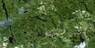
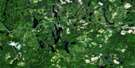
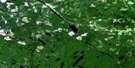
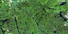
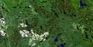
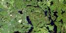
Matachewan Surrounding Area Aerial Photo Maps
 |
 |
 |
 |
 |
 |
 |
 |
 |
 |
 |
 |
 |
 |
 |
 |
© Department of Natural Resources Canada. All rights reserved.
Matachewan Gazetteer
The following places can be found on satellite image map 041P15 Matachewan:
Matachewan Satellite Image: Bays
Fraser BayRankin Bay
Roche Bay
Matachewan Satellite Image: Geographical areas
BannockburnCairo
Chown
Doon
Farr
Flavelle
Haultain
Kimberley
Knight
Mickle
Midlothian
Montrose
Morel
Powell
Rankin
Raymond
Shillington
Timiskaming
Van Hise
Willison
Yarrow
Matachewan Satellite Image: Islands
Bell IslandFraser Island
Roche Island
Stanley Island
Tom Island
Matachewan Satellite Image: Lakes
Amos LakeAndy Lake
Banner Lake
Bannockburn Lake
Betsy Lake
Birch Lake
Blake Lake
Bloom Lake
Bray Lake
Cameroon Lake
Charlewood Lake
Clarke Lake
Cleaver Lake
Cockburn Lake
Cop Lake
Cow Lake
Crotch Lake
Dara Lake
Davidson Lake
Donaldson Lake
Dora Lake
Duncan Lake
Eagle Lake
Edgar Lake
Elizabeth Lake
Elmer Lake
Fox Lake
Fred Lake
Georgina Lake
Gump Lake
Haultain Lake
Hawley Lake
Heron Lake
Highbluff Lake
Hilda Lake
Hildreth Lake
Hollinger Lake
Hoover Lake
Hunt Lake
Jean Lake
Kame Lake
Kawakanika Lake
Knott Lake
Lac St-Paul
Lakoma Lake
Larry Lake
Lavigne Lake
Lehmann Lake
Lipton Lake
Little Hawley Lake
Lloyd Lake
Log Lake
Lowbluff Lake
Lower Matachewan Lake
Maher Lake
Markie Lake
Markle Lake
Matachewan Lake
Middleton Lake
Midlothian Lake
Miriam Lake
Mistinikon Lake
Moosecall Lake
Morrison Lake
Mount Sinclair Lake
Moyneur Lake
Mudpack Lake
Obobke Lake
Orphan Lake
Otisse Lake
Pardich Lake
Penassi Lake
Piper Lake
Portage Lake
Ragan Lake
Rahn Lake
Rankin Lake
Roche Lake
Ryan Lake
Sanderson Lake
Shillington Lake
Sisseney Lake
Snowtrail Lake
St. Paul Lake
Swampy Lake
Sydney Lake
Tom Lake
Tommy Lake
Twitchgrass Lake
Vipond Lake
Webb Lake
Whiskeyjack Lake
Wolferstan Lake
Wookey Lake
Yarrow Lake
Zigzag Lake
Zurbrigg Lake
Matachewan Satellite Image: Mountains
Mount CollinsMount Sinclair
Matachewan Satellite Image: Other municipal/district area - miscellaneous
MatachewanMatachewan
Matachewan Satellite Image: Conservation areas
Mistinikon Lake Uplands Conservation ReserveWest Montreal River Provincial Park
Matachewan Satellite Image: Rapids
Flat RapidsFox Rapids
Long Rapids
Moyneur Rapids
Oldwoman Rapids
Matachewan Satellite Image: Rivers
Bannockburn CreekCalcite Creek
Cleaver Creek
Davidson Creek
Deadmoose Creek
Duncan Creek
Elizabeth Creek
Elmer Creek
Hawley Creek
Heron Creek
Hilda Creek
McDonnel Creek
Middleton Creek
Montreal River
Powell Creek
St. Paul Creek
Sydney Creek
West Montreal River
Whiskeyjack Creek
Whitefish River
Matachewan Satellite Image: River features
The ForksMatachewan Satellite Image: Unincorporated areas
Fort MatachewanMatachewan
© Department of Natural Resources Canada. All rights reserved.
041P Related Maps:
041P Gogama041P01 Obabika Lake
041P02 Pilgrim Creek
041P03 Thor Lake
041P04 Low Water Lake
041P05 Westree
041P06 Opikinimika Lake
041P07 Smoothwater Lake
041P08 Lady Evelyn Lake
041P09 Elk Lake
041P10 Gowganda
041P11 Shining Tree
041P12 Gogama
041P13 Mattagami Lake
041P14 Sinclair Lake
041P15 Matachewan
041P16 Charlton
