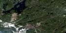
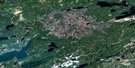
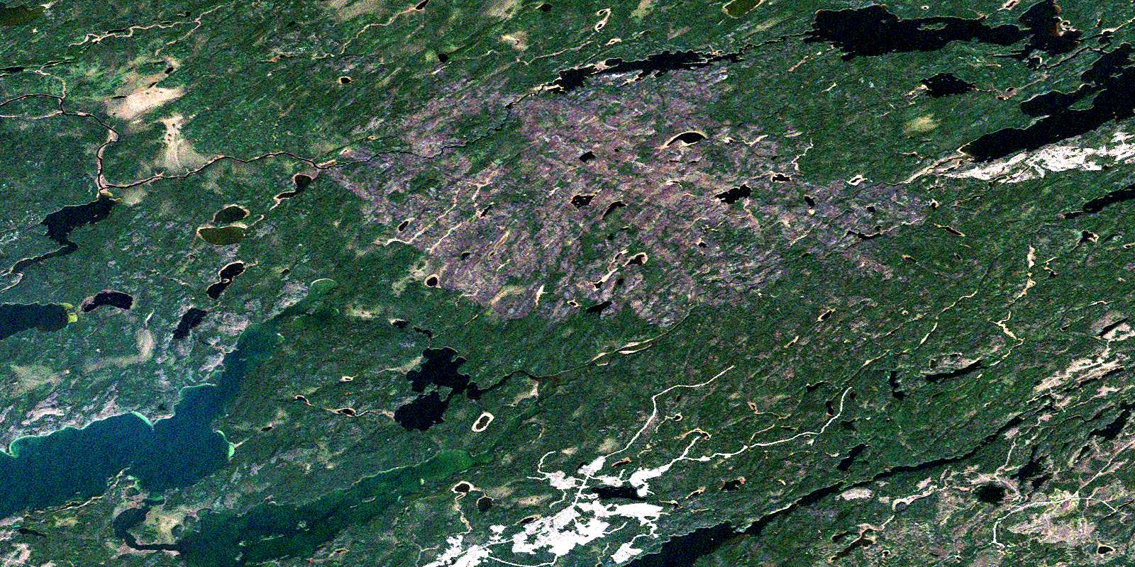
Kapikotongwa Lake Satellite Image Map
Download Free Aerial Photo 042L11 at 1:50,000 scale
Kapikotongwa Lake Satellite Imagery
To view this satellite map, mouse over the air photo on the right.
You can also download this satellite image map for free:
042L11 Kapikotongwa Lake high-resolution satellite image map.
Maps for the Kapikotongwa Lake aerial map sheet 042L11 at 1:50,000 scale are also available in these versions:
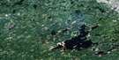
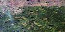
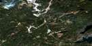
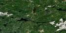
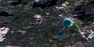
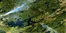
Kapikotongwa Lake Surrounding Area Aerial Photo Maps
 |
 |
 |
 |
 |
 |
 |
 |
 |
 |
 |
 |
 |
 |
 |
 |
© Department of Natural Resources Canada. All rights reserved.
Kapikotongwa Lake Gazetteer
The following places can be found on satellite image map 042L11 Kapikotongwa Lake:
Kapikotongwa Lake Satellite Image: Channels
Arameta ChannelKapikotongwa Lake Satellite Image: Lakes
Abamasagi LakeAra Lake
Boston Lake
Brace Lake
Canterbury Lake
Chaucer Lake
Gurica Lake
Hischuck Lake
Hopwood Lake
Josie Lake
Kapikotongwa Lake
Melchett Lake
Meta Lake
Porteous Lake
Reckett Lake
Runnels Lake
Stewart Lake
Stone Lake
Tales Lake
Tennant Lake
Terrier Lake
Tester Lake
Willder Lake
Wirehair Lake
Kapikotongwa Lake Satellite Image: Rivers
Brace CreekChaucer Creek
Josie Creek
Kapikotongwa River
Meta Creek
Reckett Creek
Stone River
Terrier Creek
© Department of Natural Resources Canada. All rights reserved.
042L Related Maps:
042L Nakina042L01 Grant
042L02 Nakina
042L03 Kowkash
042L04 Elbow Lake
042L05 Toronto Lake
042L06 Hanover Lake
042L07 Esnagami Lake
042L08 Wababimiga Lake
042L09 Louella Falls
042L10 Percy Lake
042L11 Kapikotongwa Lake
042L12 Makoki Lake
042L13 Mahamo Lake
042L14 Ogoki Lake
042L15 Patience Lake
042L16 La Rose Lake
