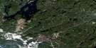
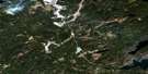
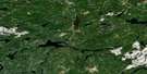
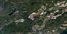
Toronto Lake Satellite Image Map
Download Free Aerial Photo 042L05 at 1:50,000 scale
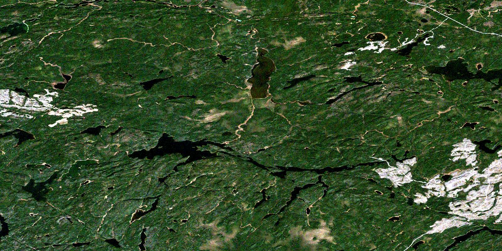
Toronto Lake Satellite Imagery
To view this satellite map, mouse over the air photo on the right.
You can also download this satellite image map for free:
042L05 Toronto Lake high-resolution satellite image map.
Maps for the Toronto Lake aerial map sheet 042L05 at 1:50,000 scale are also available in these versions:
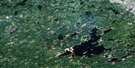
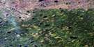
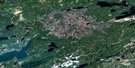
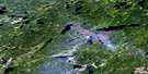
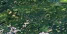
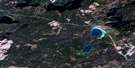
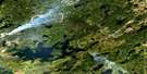
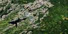
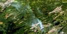
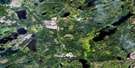
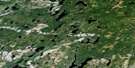
Toronto Lake Surrounding Area Aerial Photo Maps
 |
 |
 |
 |
 |
 |
 |
 |
 |
 |
 |
 |
 |
 |
 |
 |
© Department of Natural Resources Canada. All rights reserved.
Toronto Lake Gazetteer
The following places can be found on satellite image map 042L05 Toronto Lake:
Toronto Lake Satellite Image: Geographical areas
GzowskiToronto Lake Satellite Image: Islands
Deeds IslandDog Island
Ranger Island
Turtle Island
Toronto Lake Satellite Image: Lakes
Adair LakeAlbert Lake
Alpha Lake
Andy Thompson Lake
Bannister Lake
Barr Lake
Beta Lake
Brandy Lake
Clod Lake
Deeds Lake
Dorsey Lake
Dwight Lake
East Ketchikan Lake
Emily Lake
Faubert Lake
Girvan Lake
Goode Lake
Gripp Lake
Gzowski Lake
Hall Lake
Hayon Lake
Holm Lake
Horsetail Lake
Joy Lake
Juneau Lake
Junior Lake
Ketchikan Lake
Little Marshall Lake
Little Toole Lake
Marshall Lake
Midcross Lake
Morgan Lake
Moza Lake
Peetee Lake
Phillips Lake
Pigeon Lake
Rye Lake
Scotch Lake
Shaggy Lake
Shirley Lake
Summit Lake
Tape Lake
Tashota Lake
Toronto Lake
Wheatley Lake
Willet Lake
Toronto Lake Satellite Image: Rivers
Deeds CreekEmily Creek
Girvan Creek
Gripp River
Holm Creek
Horsetail Creek
Kapikotongwa River
Little Marshall Creek
Marshall Creek
Midcross Creek
Powitik River
Robinson River
Sound Creek
Willet Creek
© Department of Natural Resources Canada. All rights reserved.
042L Related Maps:
042L Nakina042L01 Grant
042L02 Nakina
042L03 Kowkash
042L04 Elbow Lake
042L05 Toronto Lake
042L06 Hanover Lake
042L07 Esnagami Lake
042L08 Wababimiga Lake
042L09 Louella Falls
042L10 Percy Lake
042L11 Kapikotongwa Lake
042L12 Makoki Lake
042L13 Mahamo Lake
042L14 Ogoki Lake
042L15 Patience Lake
042L16 La Rose Lake
