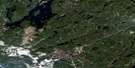
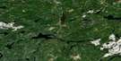
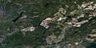
Nakina Satellite Image Map
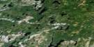
Download Free Aerial Photo 042L02 at 1:50,000 scale
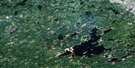
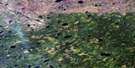
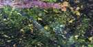
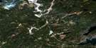
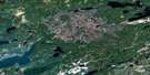
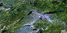
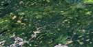
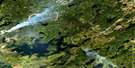
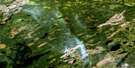
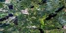
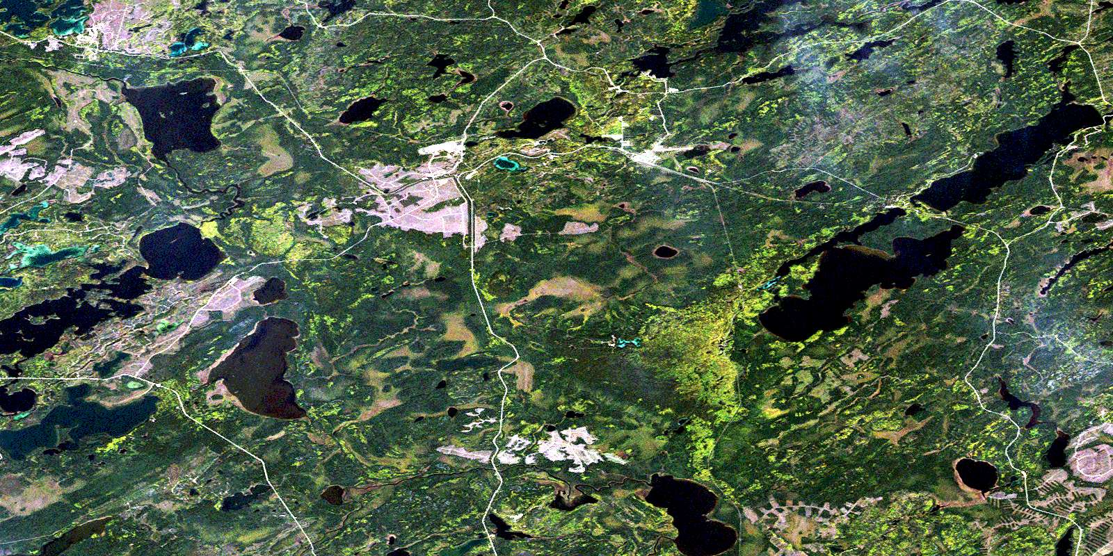
Nakina Satellite Imagery
To view this satellite map, mouse over the air photo on the right.
You can also download this satellite image map for free:
042L02 Nakina high-resolution satellite image map.
Maps for the Nakina aerial map sheet 042L02 at 1:50,000 scale are also available in these versions:
Nakina Surrounding Area Aerial Photo Maps
 |
 |
 |
 |
 |
 |
 |
 |
 |
 |
 |
 |
 |
 |
 |
 |
© Department of Natural Resources Canada. All rights reserved.
Nakina Gazetteer
The following places can be found on satellite image map 042L02 Nakina:
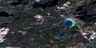
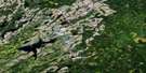
Nakina Satellite Image: Geographical areas
AlphaDanford
Esnagami
Exton
Fauteux
Goulet
Nakina
Nettleton
Raynar
Rupert
Nakina Satellite Image: Indian Reserves
Aroland 83Aroland Indian Reserve 83
Réserve indienne Aroland 83
Nakina Satellite Image: Lakes
Arm LakeBalkam Lake
Bawk Lake
Braggan Lake
Camel Lake
Clear Lake
Clover Lake
Cordingley Lake
Danford Lake
Dome Lake
Dumbbell Lake
Eli Lake
Exton Lake
Fillet Lake
Fleming Lake
Greta Lake
Guise Lake
Howard Lake
Kawashkagama Lake
Lower Bawk Lake
Lower Twin Lake
Minnesota Lake
Murky Lake
Ole Lake
Osse Lake
Pistol Lake
Poilu Lake
Puppet Lake
Redmond Lake
Ridout Lake
Rounds Lake
Rufus Lake
Scott Lake
Shamokan Lake
Springwater Lake
Sump Lake
Swede Lake
Tilia Lake
Tweedpilot Lake
Upper Twin Lake
Wawong Lake
Nakina Satellite Image: Other municipal/district area - miscellaneous
BeardmoreNakina
Nakina Satellite Image: Conservation areas
Lower Twin Lake Conservation ReserveNakina Moraine Provincial Park
Nakina Satellite Image: Rivers
Balkam CreekBawk Creek
Biscuit Creek
Danford Creek
Drowning River
Eli Creek
Fauteux Creek
Fillet Creek
Freddie Creek
Howard Creek
Kawashkagama River
Levine Creek
Longstreth Creek
Murky Creek
Puppet Creek
Purvis Creek
Rufus Creek
Scott Creek
Sexsmith Creek
Shamokan Creek
Tilia Creek
Treptow Creek
Wawong Creek
Nakina Satellite Image: Road features
Wawong PortageNakina Satellite Image: Towns
GreenstoneNakina Satellite Image: Unincorporated areas
ArolandExton
Nakina
Poilu
Shamokan
© Department of Natural Resources Canada. All rights reserved.
042L Related Maps:
042L Nakina042L01 Grant
042L02 Nakina
042L03 Kowkash
042L04 Elbow Lake
042L05 Toronto Lake
042L06 Hanover Lake
042L07 Esnagami Lake
042L08 Wababimiga Lake
042L09 Louella Falls
042L10 Percy Lake
042L11 Kapikotongwa Lake
042L12 Makoki Lake
042L13 Mahamo Lake
042L14 Ogoki Lake
042L15 Patience Lake
042L16 La Rose Lake
