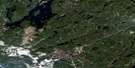
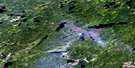
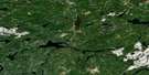
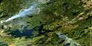
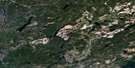
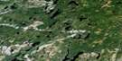
Esnagami Lake Satellite Image Map
Download Free Aerial Photo 042L07 at 1:50,000 scale
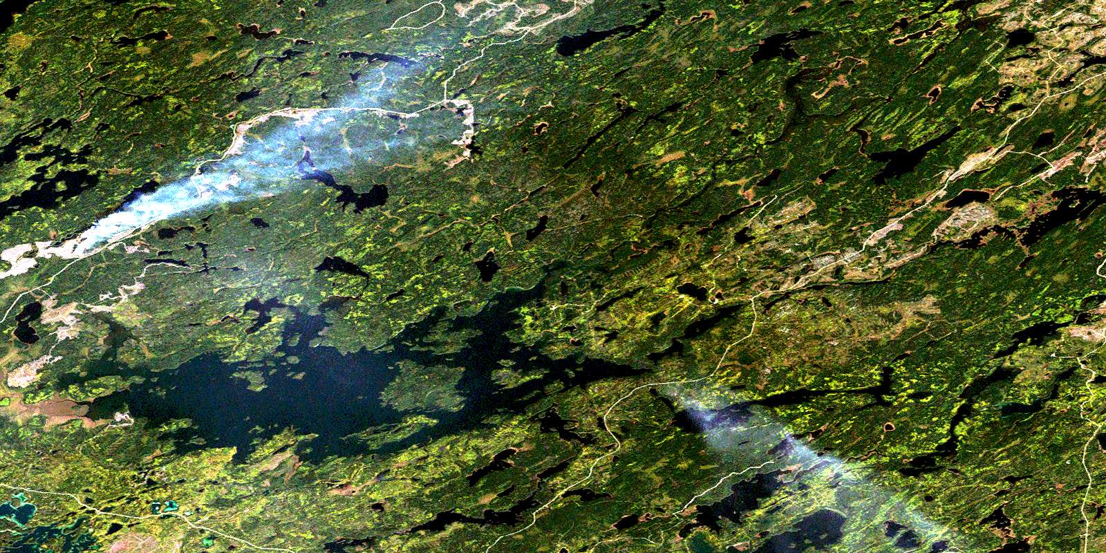
Esnagami Lake Satellite Imagery
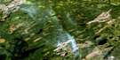
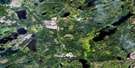
To view this satellite map, mouse over the air photo on the right.
You can also download this satellite image map for free:
042L07 Esnagami Lake high-resolution satellite image map.
Maps for the Esnagami Lake aerial map sheet 042L07 at 1:50,000 scale are also available in these versions:
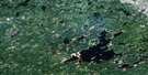
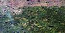
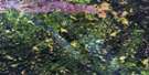
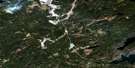
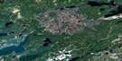
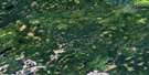
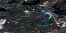
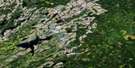
Esnagami Lake Surrounding Area Aerial Photo Maps
 |
 |
 |
 |
 |
 |
 |
 |
 |
 |
 |
 |
 |
 |
 |
 |
© Department of Natural Resources Canada. All rights reserved.
Esnagami Lake Gazetteer
The following places can be found on satellite image map 042L07 Esnagami Lake:
Esnagami Lake Satellite Image: Bays
Conlon BayMaun Bay
Medugama Bay
Northeast Arm
Wander Arm
Esnagami Lake Satellite Image: Geographical areas
AlphaEsnagami
Rupert
Esnagami Lake Satellite Image: Islands
Ara IslandBayhead Island
Bill Island
Louella Island
Esnagami Lake Satellite Image: Lakes
Alph LakeBetty Lake
Bigfault Lake
Blockville Lake
Camel Lake
Cammack Lake
Chas Lake
Cordingley Lake
Cordner Lake
Esnagami Lake
Felsen Lake
Giraffe Lake
Haskett Lake
Huntsville Lake
Hurd Lake
John Bill Lake
Kupfer Lake
Levine Lake
Little Samuelson Lake
Lower Queenston Lake
Marr Lake
Maun Lake
Melly Lake
Merkley Lake
Milne Lake
Minnesota Lake
Muriel Lake
Muslin Lake
O'Sullivan Lake
Park Lake
Queenston Lake
Ridout Lake
Rodin Lake
Rupe Lake
Samuelson Lake
Sexsmith Lake
Shorty Lake
Spotted Lake
Stinger Lake
Storm Lake
Superb Lake
Swede Lake
Trident Lake
Two Bit Lake
Walkup Lake
Wawong Lake
Wee Little Lake
Esnagami Lake Satellite Image: Rivers
Alph CreekCordner Creek
Esnagami River
Felsen Creek
Giraffe Creek
Haskett Creek
Levine Creek
Maun Creek
Rupe Creek
Samuelson Creek
Sexsmith Creek
Spindle Creek
Spotted Creek
Squaw River
Storm Creek
Swede Creek
Walkup Creek
© Department of Natural Resources Canada. All rights reserved.
042L Related Maps:
042L Nakina042L01 Grant
042L02 Nakina
042L03 Kowkash
042L04 Elbow Lake
042L05 Toronto Lake
042L06 Hanover Lake
042L07 Esnagami Lake
042L08 Wababimiga Lake
042L09 Louella Falls
042L10 Percy Lake
042L11 Kapikotongwa Lake
042L12 Makoki Lake
042L13 Mahamo Lake
042L14 Ogoki Lake
042L15 Patience Lake
042L16 La Rose Lake
