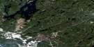
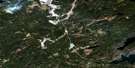
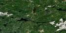
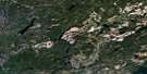
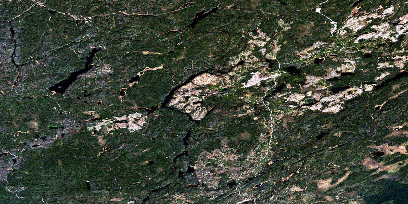
Elbow Lake Satellite Image Map
Download Free Aerial Photo 042L04 at 1:50,000 scale
Elbow Lake Satellite Imagery
To view this satellite map, mouse over the air photo on the right.
You can also download this satellite image map for free:
042L04 Elbow Lake high-resolution satellite image map.
Maps for the Elbow Lake aerial map sheet 042L04 at 1:50,000 scale are also available in these versions:
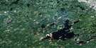
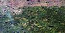
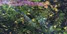
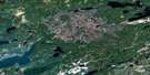
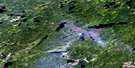
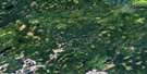
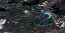
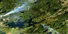
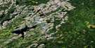
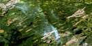
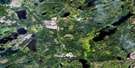
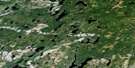
Elbow Lake Surrounding Area Aerial Photo Maps
 |
 |
 |
 |
 |
 |
 |
 |
 |
 |
 |
 |
 |
 |
 |
 |
© Department of Natural Resources Canada. All rights reserved.
Elbow Lake Gazetteer
The following places can be found on satellite image map 042L04 Elbow Lake:
Elbow Lake Satellite Image: Geographical areas
GzowskiOboshkegan
Elbow Lake Satellite Image: Islands
Burnt IslandElbow Lake Satellite Image: Lakes
Angel LakeBarn Lake
Beeva Lake
Braidwood Lake
Branstrom Lake
Brennan Lake
Chuck Lake
Cork Lake
Coughlan Lake
Crescent Lake
Devanney Lake
Dyer Lake
East Stewart Lake
Eire Lake
Elbow Lake
Esker Lake
Frank Lake
Gay Lake
Gzowski Lake
Hagan Lake
Hawke Lake
Hendrickson Lake
Hook Lake
Hull Lake
Jackson Lake
Jenkins Lake
Knucklethumb Lake
Lake Ste. Marie
Ledingham Lake
Little Gzowski Lake
Little John Lake
Lone Loon Lake
Lunam Lake
MacDonald Lake
McDonough Lake
Metcalfe Lake
North Brennan Lake
North Ridge Lake
Nowlan Lake
Oboshkegan Lake
Onaman Lake
Pauloski Lake
Pigeon Lake
Rip Lake
Robinson Lake
Rout Lake
Sandhills Lake
Savas Lake
Sceptre Lake
Shed Lake
Slate Lake
Slim Lake
South Girvan Lake
South Ridge Lake
Spree Lake
Tashota Lake
Todd Lake
Totem Lake
Ulster Lake
Vancouver Lake
Weewullee Lake
Wells Lake
Elbow Lake Satellite Image: Conservation areas
Jackson Lake Conservation ReserveOnaman Lake Conservation Reserve
Elbow Lake Satellite Image: Rivers
Beeva CreekBranstrom Creek
East Stewart Creek
Emily Creek
Frank Creek
Girvan Creek
Gzowski Creek
Little John Creek
Little Onion Creek
MacDonald Creek
Metcalfe Creek
Midcross Creek
North Onaman River
Nowlan Creek
Ombabika River
Onaman River
Otter Creek
Rattler Creek
Robinson River
Spree Creek
Stewart Creek
Tashota Creek
Wilgar Creek
Elbow Lake Satellite Image: Unincorporated areas
AudenOmbabika
Penequani
Redmond
Tashota
© Department of Natural Resources Canada. All rights reserved.
042L Related Maps:
042L Nakina042L01 Grant
042L02 Nakina
042L03 Kowkash
042L04 Elbow Lake
042L05 Toronto Lake
042L06 Hanover Lake
042L07 Esnagami Lake
042L08 Wababimiga Lake
042L09 Louella Falls
042L10 Percy Lake
042L11 Kapikotongwa Lake
042L12 Makoki Lake
042L13 Mahamo Lake
042L14 Ogoki Lake
042L15 Patience Lake
042L16 La Rose Lake
