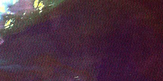
Shaganash Island Satellite Imagery
To view this satellite map, mouse over the air photo on the right.
You can also download this satellite image map for free:
052A08 Shaganash Island high-resolution satellite image map.
Maps for the Shaganash Island aerial map sheet 052A08 at 1:50,000 scale are also available in these versions:
Shaganash Island Surrounding Area Aerial Photo Maps
© Department of Natural Resources Canada. All rights reserved.
Shaganash Island Gazetteer
The following places can be found on satellite image map 052A08 Shaganash Island:
Shaganash Island Satellite Image: Capes
Black Bay PeninsulaBruneau Point
Shaganash Island Satellite Image: Islands
Barclay IslandsBennett Island
Cargill Island
Cartwright Island
Coates Island
Emmerson Island
Gladys Island
Gunn Island
Hughes Island
Macoun Island
Nest Island
No. 10 Island
Number 10 Island
Perley Island
Shaganash Island
St. Andrew Island
Stanton Island
Swede Island
Sweetland Island
Tyrwhitt Island
Shaganash Island Satellite Image: Lakes
Lac SupérieurLake Superior
Shaganash Island Satellite Image: Shoals
Ayre ShoalBateau Rock
Blair Rock
Boardman Rock
Burpee Rock
Elson Rock
Evelyn Rocks
Grenfell Rock
Harty Rock
Irwin Rock
Kemp Shoal
Magee Rock
Paterson Rocks
Poynter Rock
Schaffner Rock
© Department of Natural Resources Canada. All rights reserved.


