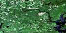
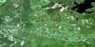
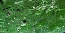
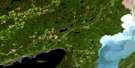
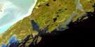
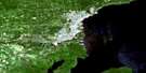
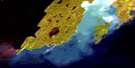
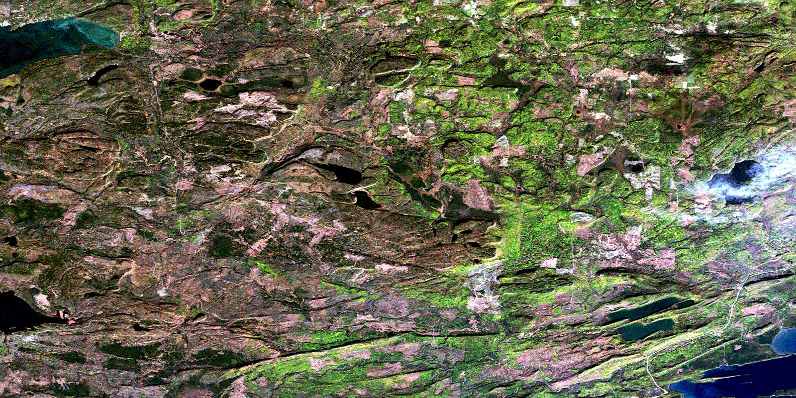
Pigeon River Satellite Image Map
Download Free Aerial Photo 052A04 at 1:50,000 scale
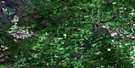
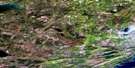
Pigeon River Satellite Imagery
To view this satellite map, mouse over the air photo on the right.
You can also download this satellite image map for free:
052A04 Pigeon River high-resolution satellite image map.
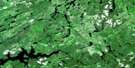
Maps for the Pigeon River aerial map sheet 052A04 at 1:50,000 scale are also available in these versions:
Pigeon River Surrounding Area Aerial Photo Maps
 |
 |
 |
 |
 |
 |
 |
 |
 |
 |
 |
 |
 |
 |
© Department of Natural Resources Canada. All rights reserved.
Pigeon River Gazetteer
The following places can be found on satellite image map 052A04 Pigeon River:
Pigeon River Satellite Image: Bays
Little Pigeon BayPigeon Bay
Pine Bay
Pigeon River Satellite Image: Capes
Finger PointPigeon River Satellite Image: Falls
Horne FallsLittle Falls
Partridge Falls
Pigeon Falls
The Cascades
The Tunnel
Pigeon River Satellite Image: Geographical areas
BlakeDevon
Fraleigh
Gillies
Hartington
Lismore
Lybster
Neebing
Pardee
Pearson
Scoble
Strange
Pigeon River Satellite Image: Islands
Bonnet IslandBoundary Islands
Marin Island
Naomi Island
Owen Island
Pigeon River Satellite Image: Lakes
Bearpad LakeBell Lake
Cloud Lake
Crystal Lake
Fallingsnow Lake
Fraleigh Lake
Lac Supérieur
Lake Superior
Lenore Lake
Matson Lake
North Fowl Lake
Pine Lake
South Fowl Lake
Sunset Lake
Whitefish Lake
Pigeon River Satellite Image: Mountains
Silver BluffSilver Mountain
The Palisades
Pigeon River Satellite Image: Other municipal/district area - miscellaneous
GilliesPigeon River Satellite Image: Conservation areas
Devon Road Mesa Provincial Nature ReserveDivide Ridge Provincial Nature Reserve
Fallingsnow Lake Conservation Reserve
Fraleigh Lake Provincial Nature Reserve
La Verendrye Provincial Park
LaVerendrye Provincial Park
Pigeon River Provincial Park
Pigeon River Satellite Image: Rivers
Arrow RiverCloud River
Crystal Creek
Little Pine River
Little Whitefish River
Pigeon River
Pine River
Slate River
Sunset Creek
Pigeon River Satellite Image: Road features
English PortageFowl Portage
Pigeon River Satellite Image: Shoals
Acadia RockLaura Grace Rock
Pigeon River Satellite Image: Towns
NeebingPigeon River Satellite Image: Unincorporated areas
CrooksJackpine
Pardee
Pigeon River
Scoble West
South Gillies
Suomi
Wamsley
© Department of Natural Resources Canada. All rights reserved.
