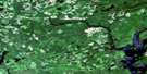
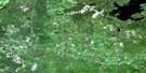
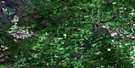
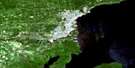
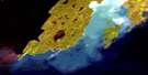
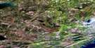
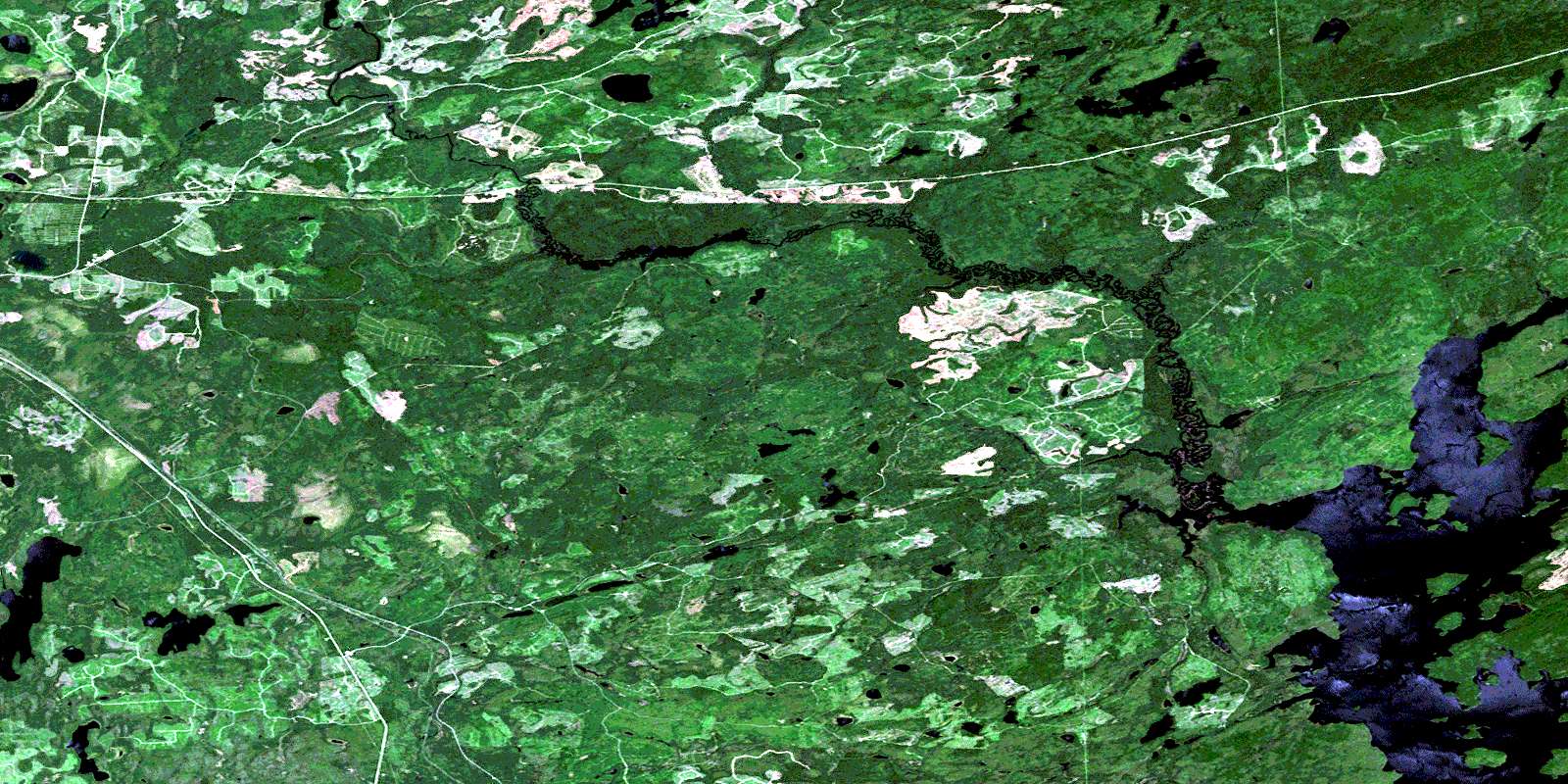
Raith Satellite Image Map
Download Free Aerial Photo 052A13 at 1:50,000 scale
Raith Satellite Imagery
To view this satellite map, mouse over the air photo on the right.
You can also download this satellite image map for free:
052A13 Raith high-resolution satellite image map.
Maps for the Raith aerial map sheet 052A13 at 1:50,000 scale are also available in these versions:
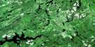
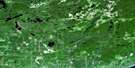
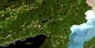
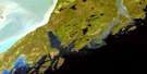
Raith Surrounding Area Aerial Photo Maps
 |
 |
 |
 |
 |
 |
 |
 |
 |
 |
 |
 |
 |
 |
© Department of Natural Resources Canada. All rights reserved.
Raith Gazetteer
The following places can be found on satellite image map 052A13 Raith:
Raith Satellite Image: Bays
Creighton BayNorth Bay
Stirrett Bay
Raith Satellite Image: Capes
Bad PointRaith Satellite Image: Geographical areas
GoldingMichener
Parry
Robson
Soper
Wardrope
Raith Satellite Image: Islands
Big IslandRaith Satellite Image: Lakes
Coldwater LakeCroskery Lake
Dexter Lake
Dog Lake
Eayrs Lake
Gandier Lake
Hawkshaw Lake
Heise Lake
Jordain Lake
Kerfoot Lake
Lac du Milieu
Lariat Lake
McCrimmon Lake
McGhie Lake
Nordland Lake
Orbit Lake
Sorrell Lake
Tackle Lake
Toole Lake
Trumper Lake
Wakinoo Lake
Raith Satellite Image: Conservation areas
Dog River Conservation ReserveRaith Satellite Image: Rapids
Barrier RapidsLittle Rapids
Raith Satellite Image: Rivers
Block CreekDexter Creek
Dog River
East Oskondaga River
Eayrs Creek
Fisher Creek
Gutteridge Creek
Jordain Creek
Oskondaga River
Rivière des Iles
Wakinoo Creek
Whitefin Creek
Raith Satellite Image: Road features
Barrier PortagePortage du Jordain
Portage du Milieu
Prairie Portage
Raith Satellite Image: Unincorporated areas
HorneLinko
Raith
© Department of Natural Resources Canada. All rights reserved.
