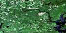
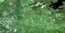
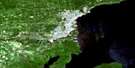
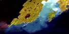
Thunder Bay Satellite Image Map
Download Free Aerial Photo 052A06 at 1:50,000 scale
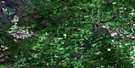
Thunder Bay Satellite Imagery
To view this satellite map, mouse over the air photo on the right.
You can also download this satellite image map for free:
052A06 Thunder Bay high-resolution satellite image map.
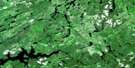
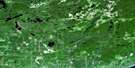
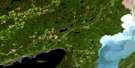
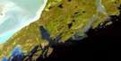
Maps for the Thunder Bay aerial map sheet 052A06 at 1:50,000 scale are also available in these versions:
Thunder Bay Surrounding Area Aerial Photo Maps
 |
 |
 |
 |
 |
 |
 |
 |
 |
 |
 |
 |
 |
 |
© Department of Natural Resources Canada. All rights reserved.
Thunder Bay Gazetteer
The following places can be found on satellite image map 052A06 Thunder Bay:
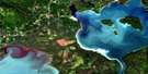
Thunder Bay Satellite Image: Bays
Brûlé BayFort William Harbour
Green Bay
Lakehead Harbour
Mission Bay
Port Arthur Harbour
Squaw Bay
Thunder Bay
Thunder Bay Harbour
Thunder Bay Satellite Image: Beaches
Green Bay BeachWild Goose Beach
Thunder Bay Satellite Image: Capes
Bare PointGrand Point
Green Point
McNab Point
Melancon Point
Pointe de Meuron
Whiskyjack Point
Wild Goose Point
Wildgoose Point
Thunder Bay Satellite Image: City
Fort WilliamPort Arthur
The Lakehead
Thunder Bay
Thunder Bay Satellite Image: Falls
Trowbridge FallsThunder Bay Satellite Image: Geographical areas
BlakeMacGregor
McIntyre
Neebing
Oliver
Paipoonge
Thunder Bay Satellite Image: Hydraulic construction
Neebing McIntyre FloodwayThunder Bay Satellite Image: Indian Reserves
Fort William 52Fort William Indian Reserve 52
Réserve indienne Fort William 52
Thunder Bay Satellite Image: Islands
McKellar IslandMission Island
Mutton Island
Papoose Islands
Pie Island
Squaw Island
Welcome Islands
Thunder Bay Satellite Image: Lakes
Boulevard LakeCrescent Lake
Horseshoe Lake
Johnson Lake
Lac Supérieur
Lake Superior
Loch Lomond
McQuaig Lake
Moon Lake
Sawdust Lake
Thunder Bay Satellite Image: Military areas
Champ de tir Mount McKayMount McKay Range
Thunder Bay Satellite Image: Mountains
Mount GodfreyMount Hurlburt
Mount Johnson
Mount Matchett
Mount McKay
Mount McQuaig
Mount McRae
Mount Rose
Squaretop Mountain
Sugarloaf Hill
The Nor'Westers
Thunder Bay Satellite Image: Other municipal/district area - miscellaneous
OliverOliver Paipoonge
Paipoonge
Shuniah
Thunder Bay Satellite Image: Conservation areas
Cascades Conservation AreaMission Island Marsh Conservation Area
Thunder Bay Satellite Image: Plains
Mission FlatsThunder Bay Satellite Image: Rivers
Blind CreekCurrent River
Kaministikwia River
Kaministiquia River
Lomond River
McIntyre Creek
McIntyre River
McIntyre River
McKellar River
McQuaig Creek
McVicar Creek
Mission River
Mosquito Creek
Neebing River
Newton Creek
North Current River
Otter Creek
Savigny Creek
Sawdust Creek
Slate River
Whiskyjack Creek
Wild Goose Creek
Wildgoose Creek
Thunder Bay Satellite Image: Shoals
Burke ShoalGrand Reef
Mutton Shoal
Old Dumping Ground Shoal
Schwitzer Shoal
Welcome Shoal
Thunder Bay Satellite Image: Towns
NeebingThunder Bay Satellite Image: Unincorporated areas
BairdCarters Corners
Intola
Jelly
Jumbo Gardens
McCluskeys Corners
Mission Village
Moose Hill
Murillo
Navilus
Neebing
Neebing Yard
North McIntyre
Prince Arthur's Landing
Rosslyn Village
Slate River Valley
Twin City
Vickers Heights
West Fort William
Wild Goose
Thunder Bay Satellite Image: Low vegetation
Neebing Marsh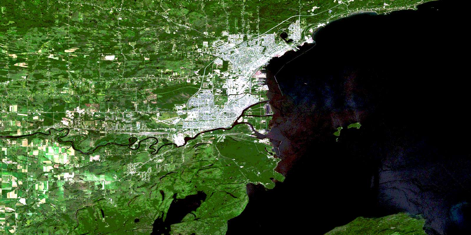
© Department of Natural Resources Canada. All rights reserved.
