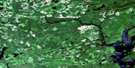
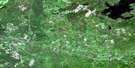
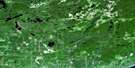
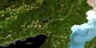
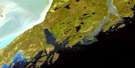
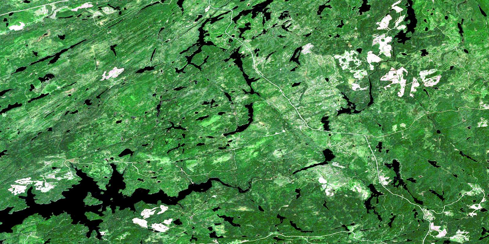
East Bay Satellite Image Map
Download Free Aerial Photo 052A14 at 1:50,000 scale
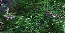
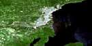
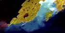
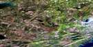
East Bay Satellite Imagery
To view this satellite map, mouse over the air photo on the right.
You can also download this satellite image map for free:
052A14 East Bay high-resolution satellite image map.
Maps for the East Bay aerial map sheet 052A14 at 1:50,000 scale are also available in these versions:
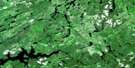
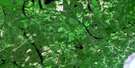
East Bay Surrounding Area Aerial Photo Maps
 |
 |
 |
 |
 |
 |
 |
 |
 |
 |
 |
 |
 |
 |
© Department of Natural Resources Canada. All rights reserved.
East Bay Gazetteer
The following places can be found on satellite image map 052A14 East Bay:
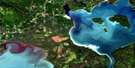
East Bay Satellite Image: Bays
Creighton BayEast Bay
North Bay
Stirrett Bay
Walberg Bay
East Bay Satellite Image: Lakes
Astrop LakeBlowing Lake
Bloxham Lake
Brink Lake
Burbidge Lake
Creighton Lake
DeCourcey Lake
Dog Lake
East Dog Lake
Edmondson Lake
Fire Lake
Glenney Lake
Gurnett Lake
Gutteridge Lake
Hanrahan Lake
Hicks Lake
Hosking Lake
Jig Lake
Keelor Lake
Kingstone Lake
Lasseter Lake
Livermore Lake
Lone Island Lake
Macauley Lake
MacMillan Lake
Makins Lake
Manchester Lake
McGaughey Lake
McLeish Lake
McWhinney Lake
Mott Lake
Pace Lake
Pencil Lake
Phair Lake
Prain Lake
Ray Lake
Scandrett Lake
Shallownest Lake
Smiley Lake
Snipe Lake
Span Lake
Spereman Lake
Spoon Lake
Swarbrick Lake
Teardrop Lake
Tease Lake
Vivian Lake
Yorky Lake
East Bay Satellite Image: Conservation areas
East Bay Conservation ReserveEast Bay Satellite Image: Rivers
Aberdeen CreekAstrop Creek
Bloxham Creek
Current River
Eaglehead River
East Dog River
Glenney Creek
Gutteridge Creek
Hosking Creek
Jig Creek
Keelor Creek
Leckie Creek
McGaughey Creek
Pace Creek
Scandrett Creek
Spereman Creek
Spoon Creek
Spruce River
Whitefin Creek
© Department of Natural Resources Canada. All rights reserved.
