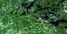
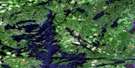
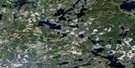
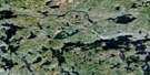
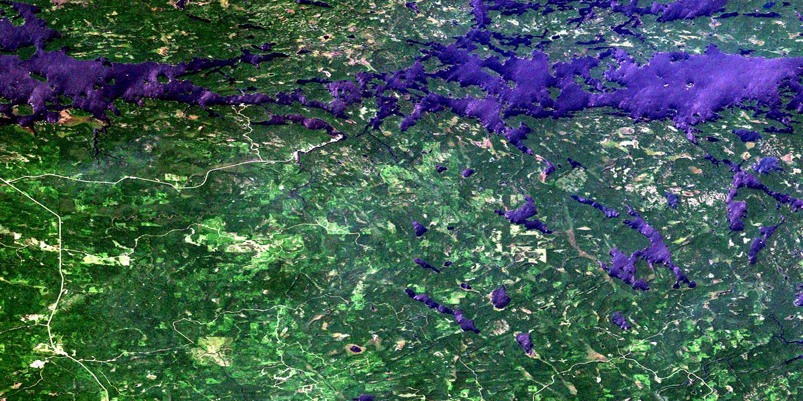
Namakan Lake Satellite Image Map
Download Free Aerial Photo 052C07 at 1:50,000 scale
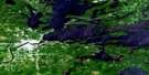
Namakan Lake Satellite Imagery
To view this satellite map, mouse over the air photo on the right.
You can also download this satellite image map for free:
052C07 Namakan Lake high-resolution satellite image map.
Maps for the Namakan Lake aerial map sheet 052C07 at 1:50,000 scale are also available in these versions:
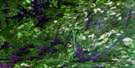
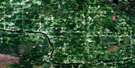
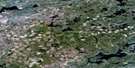
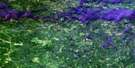
Namakan Lake Surrounding Area Aerial Photo Maps
 |
 |
 |
 |
 |
 |
 |
 |
 |
 |
||
© Department of Natural Resources Canada. All rights reserved.
Namakan Lake Gazetteer
The following places can be found on satellite image map 052C07 Namakan Lake:
Namakan Lake Satellite Image: Bays
Hale BayKnox Bay
Paddy Bay
Namakan Lake Satellite Image: Capes
Black PointNamakan Lake Satellite Image: Channels
International ChannelSquaw Narrows
Squirrel Narrows
Namakan Lake Satellite Image: Falls
Kettle FallsSquirrel Falls
Namakan Lake Satellite Image: Geographical areas
Rainy RiverNamakan Lake Satellite Image: Islands
Blackstone IslandBlue Island
Erickson Island
Gull Island
Kettle Island
Knox Island
Moose Island
Randolph Island
Sixdeer Island
Squirrel Island
Namakan Lake Satellite Image: Lakes
Kemp LakeLac à la Pluie
Lost Lake
Namakan Lake
Rainy Lake
Salo Lake
Tahoe Lake
Namakan Lake Satellite Image: Rivers
Bear RiverNamakan Lake Satellite Image: Road features
Canadian PortageSoldiers Portage
© Department of Natural Resources Canada. All rights reserved.
