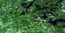
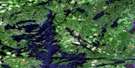
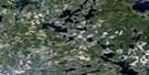
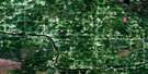
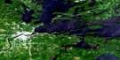
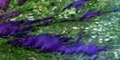
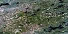
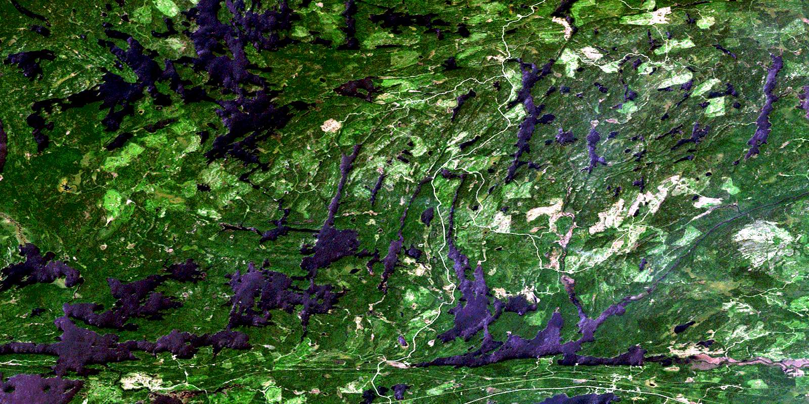
Mine Centre Satellite Image Map
Download Free Aerial Photo 052C15 at 1:50,000 scale
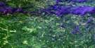
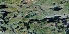
Mine Centre Satellite Imagery
To view this satellite map, mouse over the air photo on the right.
You can also download this satellite image map for free:
052C15 Mine Centre high-resolution satellite image map.
Maps for the Mine Centre aerial map sheet 052C15 at 1:50,000 scale are also available in these versions:
Mine Centre Surrounding Area Aerial Photo Maps
 |
 |
 |
 |
 |
 |
 |
 |
 |
 |
||
© Department of Natural Resources Canada. All rights reserved.
Mine Centre Gazetteer
The following places can be found on satellite image map 052C15 Mine Centre:
Mine Centre Satellite Image: Bays
Crowrock BayCrowrock Inlet
Headlight Bay
Indian Bay
Mariah Bay
Muskee Bay
North Marsh
Northeast Bay
Northwest Bay
Olive Bay
Porter Inlet
Redgut Bay
South Marsh
Spawn Inlet
Mine Centre Satellite Image: Capes
Clubhouse PointThe Headlight
Mine Centre Satellite Image: Channels
Cliff NarrowsCrooked Narrows
Grassy Narrows
Parry Strait
Pine Narrows
Red Pine Narrows
Sand Island Narrows
Twin Narrows
Mine Centre Satellite Image: Falls
Otter FallsOtter Falls
Sand Falls
Sand Island Falls
Sawbill Falls
Mine Centre Satellite Image: Geographical areas
FarringtonRainy River
Mine Centre Satellite Image: Indian Reserves
Rainy Lake 26BRainy Lake 26C
Rainy Lake Indian Reserve 26A
Rainy Lake Indian Reserve 26B
Rainy Lake Indian Reserve 26C
Réserve indienne Rainy Lake 26A
Réserve indienne Rainy Lake 26B
Réserve indienne Rainy Lake 26C
Mine Centre Satellite Image: Islands
Blueberry IslandDeer Island
Gull Islands
Hamel's Island
Indian Island
Raspberry Island
Smiths Island
Williams Island
Windy Island
Mine Centre Satellite Image: Lakes
Bad Vermilion LakeBig Sawbill Lake
Bluebeard Lake
Cherry Lake
Cornell Lake
Crackshot Lake
Cruso Lake
Doman Lake
Eldridge Lake
Falloon Lake
Gallo Lake
Heron Lake
Hoard Lake
Hollands Lake
Lac à la Pluie
Law Lake
Little Ottertail Lake
Little Sawbill Lake
Little Turtle Lake
Lowe Lake
Lowry Lake
Makomesut Lake
Marsh Lake
Marston Lake
McVey Lake
Mong Lake
O'Connell Lake
Otter Lake
Ottertail Lake
Otukamamoan Lake
Patton Lake
Peninsula Lake
Pilkey Lake
Pope Lake
Rainy Lake
Readman Lake
Ryckman Lake
Tesup Lake
Tibbetts Lake
Tower Lake
Tyne Lake
Whitewater Lake
Winkle Lake
Mine Centre Satellite Image: Conservation areas
Turtle River Provincial ParkTurtle River-White Otter Lake Provincial Park
Mine Centre Satellite Image: Rapids
Manitou RapidsOtter Rapids
Mine Centre Satellite Image: Rivers
Big Turtle RiverBluebeard Creek
Cherry River
Christy Creek
Eldridge Creek
Entwine River
Farrington Creek
Heron River
Kaopskikamak River
Little Ottertail River
Little Turtle River
Muskeg Creek
Ottertail River
Tesup Creek
Trout River
Turtle River
Mine Centre Satellite Image: River features
Devils ElbowMine Centre Satellite Image: Road features
Sand Island Falls PortageWindfall Portage
Mine Centre Satellite Image: Unincorporated areas
FarringtonMine Centre
Olive
Turtle
© Department of Natural Resources Canada. All rights reserved.
