Lac La Croix Satellite Image Map
Download Free Aerial Photo 052C08 at 1:50,000 scale
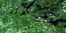
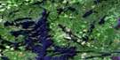
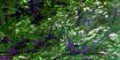
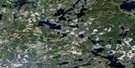
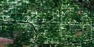
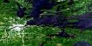
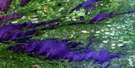
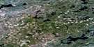
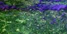
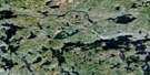
Lac La Croix Satellite Imagery
To view this satellite map, mouse over the air photo on the right.
You can also download this satellite image map for free:
052C08 Lac La Croix high-resolution satellite image map.
Maps for the Lac La Croix aerial map sheet 052C08 at 1:50,000 scale are also available in these versions:
Lac La Croix Surrounding Area Aerial Photo Maps
 |
 |
 |
 |
 |
 |
 |
 |
 |
 |
||
© Department of Natural Resources Canada. All rights reserved.
Lac La Croix Gazetteer
The following places can be found on satellite image map 052C08 Lac La Croix:
Lac La Croix Satellite Image: Bays
Clearwater BayMartin Bay
Portage Bay
Redhorse Bay
Thompson Bay
Wilkins Bay
Lac La Croix Satellite Image: Capes
Dog's PointPercy's Point
Sand Point
Tar Point
Lac La Croix Satellite Image: Channels
Harrison NarrowsIndian Narrows
Ivy Channel
Little Vermilion Narrows
Loon Narrows
Namakan Narrows
Lac La Croix Satellite Image: Falls
High FallsIvy Falls
Loon Falls
Myrtle Falls
Snake Falls
Lac La Croix Satellite Image: Geographical areas
Rainy RiverLac La Croix Satellite Image: Indian Reserves
Neguaguon Lake 25DNeguaguon Lake Indian Reserve 25D
Réserve indienne Neguaguon Lake 25D
Lac La Croix Satellite Image: Islands
Bear IslandDouglas Island
Eastbend Island
Eva Island
Fortyfive Island
Government Island
Hunter Island
Indian Island
Irving Island
Lonetree Island
Moosehide Island
Rabbit Island
Spool Island
Twentyfour Island
Twentysix Island
Wawa Island
Lac La Croix Satellite Image: Lakes
Ballard LakeBearpelt Lake
Bill Lake
Blue Lake
Bullmoose Lake
Captain Tom Lake
Cranberry Lake
Cub Lake
David Lake
Deer Lake
Kemp Lake
Lac la Croix
Lilac Lake
Little Eva Lake
Little Vermilion Lake
Loon Lake
Marr Lake
Minnow Lake
Minnow Pond
Mudturtle Lake
Namakan Lake
Omeme Lake
Ox Lake
Pig Lake
Queer Rock Lake
Ralph Lake
Redhorse Lake
Sand Point Lake
Spring Lake
Thompson Lake
Threemile Lake
Trout Lake
Vie Lake
West Cub Lake
Wisa Lake
Wolseley Lake
Wright Lake
Lac La Croix Satellite Image: Conservation areas
Lac La Croix Wilderness AreaQuetico Provincial Park
Lac La Croix Satellite Image: Rapids
Hay RapidsLady Rapids
Quetico Rapids
Lac La Croix Satellite Image: Rivers
Bearpelt CreekBullmoose Creek
Loon River
Moose Creek
Namakan River
Quetico River
Redhorse River
Wildgoose Creek
Lac La Croix Satellite Image: Road features
Beatty PortageHay Portage
Loon Falls Portage
Lac La Croix Satellite Image: Unincorporated areas
Lac la Croix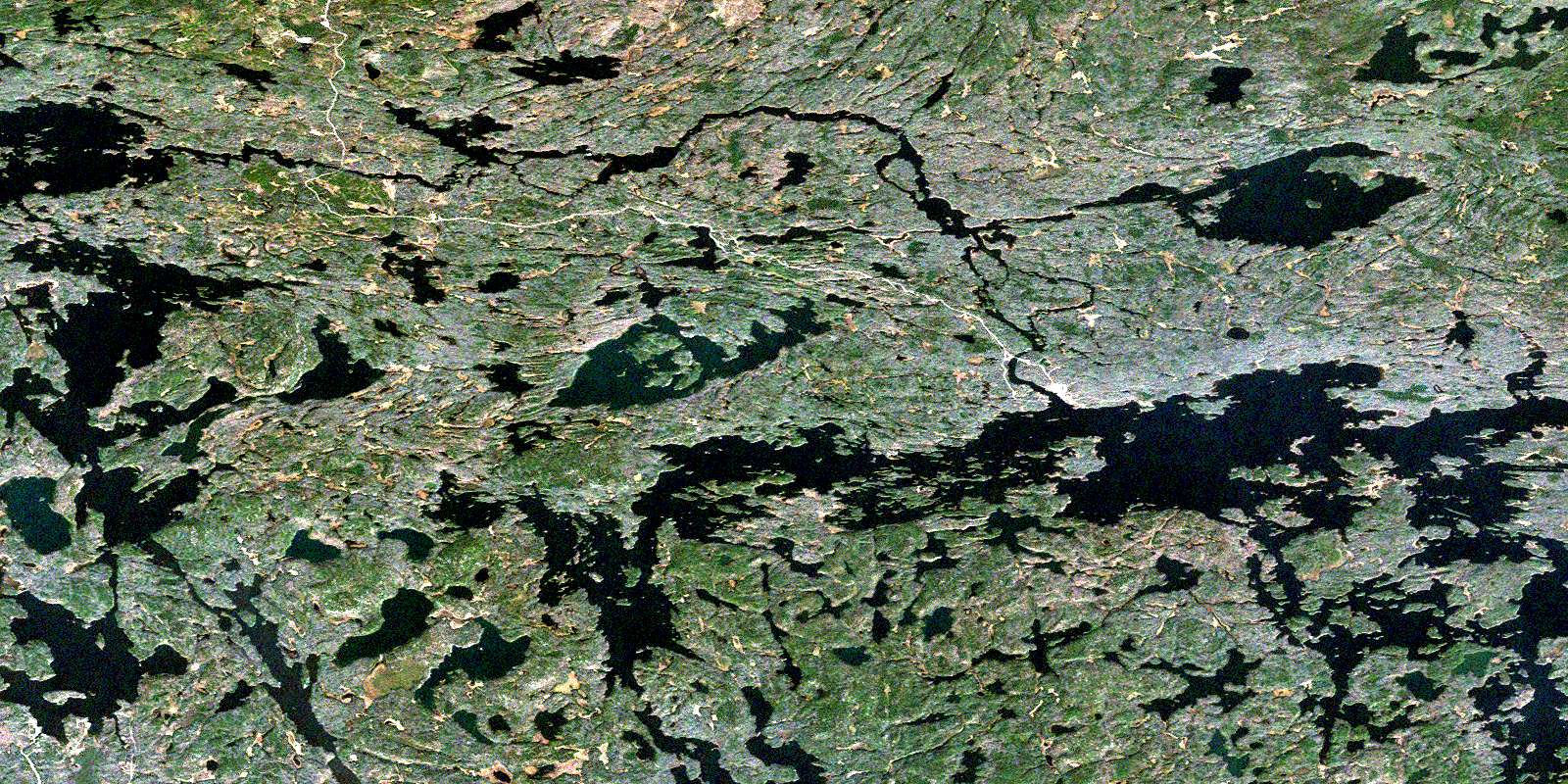
© Department of Natural Resources Canada. All rights reserved.
