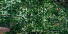
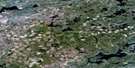
Manion Lake Satellite Image Map
Download Free Aerial Photo 052C16 at 1:50,000 scale
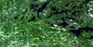
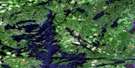
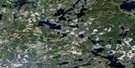
Manion Lake Satellite Imagery
To view this satellite map, mouse over the air photo on the right.
You can also download this satellite image map for free:
052C16 Manion Lake high-resolution satellite image map.
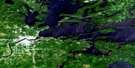
Maps for the Manion Lake aerial map sheet 052C16 at 1:50,000 scale are also available in these versions:
Manion Lake Surrounding Area Aerial Photo Maps
 |
 |
 |
 |
 |
 |
 |
 |
 |
 |
||
© Department of Natural Resources Canada. All rights reserved.
Manion Lake Gazetteer
The following places can be found on satellite image map 052C16 Manion Lake:
Manion Lake Satellite Image: Bays
Blind Pig BayFin Bay
Hepburn Bay
Manion Lake Satellite Image: Capes
Fotheringham PointRedpine Point
Manion Lake Satellite Image: Falls
Horse FallsManion Lake Satellite Image: Geographical areas
AsmussenBennett
Rainy River
Tanner
Manion Lake Satellite Image: Indian Reserves
Réserve indienne Sturgeon Falls 23Sturgeon Falls Indian Reserve 23
Manion Lake Satellite Image: Islands
Birch IslandDeer Island
Mid Island
Manion Lake Satellite Image: Lakes
Bennett LakeBeynon Lake
Big Joe Lake
Bootleg Lake
Busch Lake
Calm Lake
Cantley Lake
Clearwater West Lake
Dovetail Lake
Eli Lake
Eltrut Lake
Gagon Lake
Graytrout Lake
Grey Trout Lake
Greytrout Lake
Hepburn Lake
Holmes Lake
Joe Lake
Kirsten Lake
Little Joe Lake
Long Lake
Manford Lake
Manion Lake
McPherson Lake
Miners Lake
Moonshine Lake
Moosetrack Lake
Mount Lake
Mud Lake
Niven Lake
Peninsula Lake
Pettit Lake
Reed Lake
Robinson Lake
Roman Lake
Roscoe Lake
Sandbeach Lake
Speed Lake
Turtle Lake
Twin Lakes
Manion Lake Satellite Image: Conservation areas
Turtle River Provincial ParkTurtle River-White Otter Lake Provincial Park
Manion Lake Satellite Image: Rapids
Manitou RapidsManion Lake Satellite Image: Rivers
Bennett CreekBig Turtle River
Bold Creek
Cantley Creek
Canyon Creek
Hillyer Creek
Little Joe Creek
Little Turtle River
Manion Creek
Mills Creek
Miranda Creek
Moosetrack Creek
Niven Creek
Seine River
Tesup Creek
Turtle River
Manion Lake Satellite Image: Shoals
Gull RocksManion Lake Satellite Image: Unincorporated areas
CrillyGlenorchy
Laseine
Manion Lake Satellite Image: Valleys
The Gorge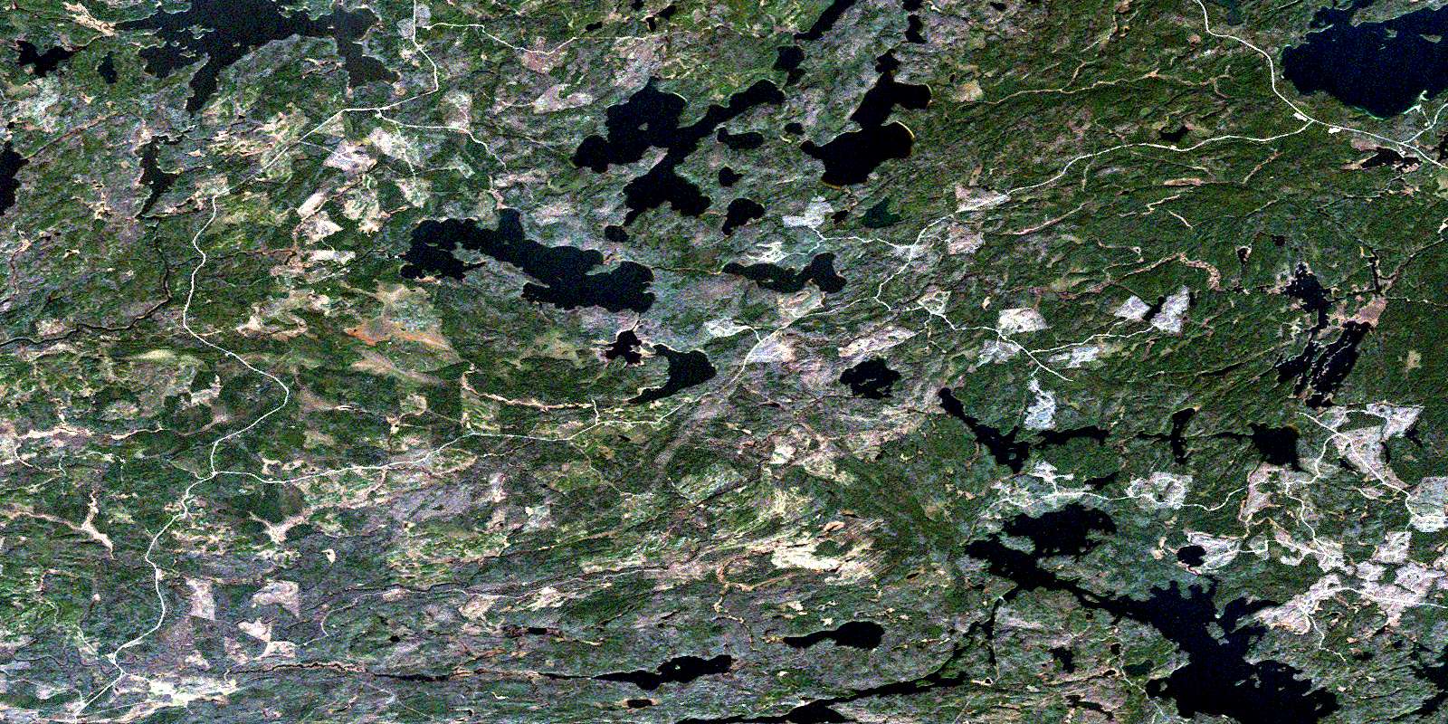
© Department of Natural Resources Canada. All rights reserved.
