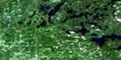
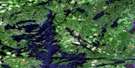
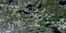
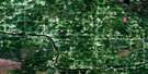
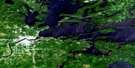
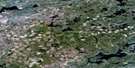
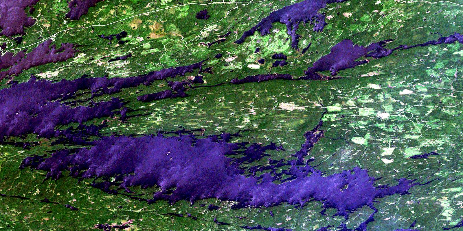
Seine Bay Satellite Image Map
Download Free Aerial Photo 052C10 at 1:50,000 scale
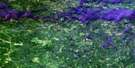
Seine Bay Satellite Imagery
To view this satellite map, mouse over the air photo on the right.
You can also download this satellite image map for free:
052C10 Seine Bay high-resolution satellite image map.
Maps for the Seine Bay aerial map sheet 052C10 at 1:50,000 scale are also available in these versions:
Seine Bay Surrounding Area Aerial Photo Maps
 |
 |
 |
 |
 |
 |
 |
 |
 |
 |
||
© Department of Natural Resources Canada. All rights reserved.
Seine Bay Gazetteer
The following places can be found on satellite image map 052C10 Seine Bay:
Seine Bay Satellite Image: Bays
Bleak BayCormorant Bay
Finger Bay
Finlands Bay
Hale Bay
Island Bay
Little Grassy Bay
Moose Bay
Pothole Bay
Pound Net Bay
Rat River Bay
Redgut Bay
Seine Bay
Shelter Cove
Stokes Bay
Strange Bay
Swell Bay
Tunnel Bay
Willow Bay
Wind Bay
Seine Bay Satellite Image: Capes
Birch PointDeerhorn Point
Durant Point
Finger Point
Hallelujah Point
Kettle Point
Lighthouse Point
Mackenzie Point
Moose Point
Pow Ground Point
Vague Point
Wreck Point
Seine Bay Satellite Image: Channels
American ChannelBrûlé Narrows
Canadian Channel
Canoe Channel
Friendly Passage
Hole in the Wall
International Channel
Kettle Channel
Kettle Channel
Little Brûlé Narrows
Sand Island Narrows
Seine Bay Satellite Image: Geographical areas
FarringtonHalkirk
Rainy River
Seine Bay Satellite Image: Indian Reserves
Rainy Lake 26ARainy Lake Indian Reserve 26A
Réserve indienne Rainy Lake 26A
Réserve indienne Seine River 23B
Seine River 23B
Seine River Indian Reserve 23B
Seine Bay Satellite Image: Islands
Anchor IslandAnchor Islands
Bald Island
Big Dry Island
Big Island
Blackpoint Island
Breezy Island
Brûlé Island
Channel Island
Chappie Island
Chicken Island
Dude Island
Green Island
Gunsight Island
Lindoo Island
Little Dry Island
Mackenzie Island
Moose Island
Oakpoint Island
Oscar Island
Pater Noster Island
Pater Noster Islands
Scott Island
Scott Islands
Three Sisters Islands
Seine Bay Satellite Image: Lakes
Bad Vermilion LakeBarber Lake
Bliss Lake
Duff Lake
Dumbbell Lake
Finger Lake
Gagne Lake
Gallo Lake
Grassy Lake
Lac à la Pluie
Little Grassy Lake
Little Ottertail Lake
Lochart Lake
Melin Lake
Mudge Lake
Obashinsing Lake
Ottertail Lake
Pacitto Lake
Rainy Lake
Shoal Lake
Wild Potato Lake
Seine Bay Satellite Image: Conservation areas
Farrington Township Conservation ReserveShoal Lake Wilderness Area
Seine Bay Satellite Image: Rivers
Albertson CreekBad Vermilion Creek
Camp Creek
Chief Neverwash Creek
Duff Creek
East Branch Rat River
Falls River
McLeod Creek
Moose Camp Creek
Moose River
Ottertail River
Pipestone River
Rat River
Rat River
Seine River
Suckers Creek
Swamp Creek
West Branch Rat River
Seine Bay Satellite Image: River features
Devils ElbowSeine Bay Satellite Image: Road features
Canadian PortageMelin Portage
Seine Bay Satellite Image: Shoals
Cedar RockCedars Rock
Gull Rocks
Manitou Rock
Seine Bay Satellite Image: Unincorporated areas
Bear PassLeatherdale Landing
Old Mine Centre
© Department of Natural Resources Canada. All rights reserved.
