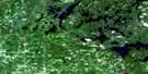
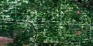
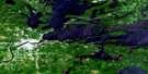
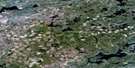
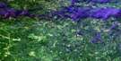
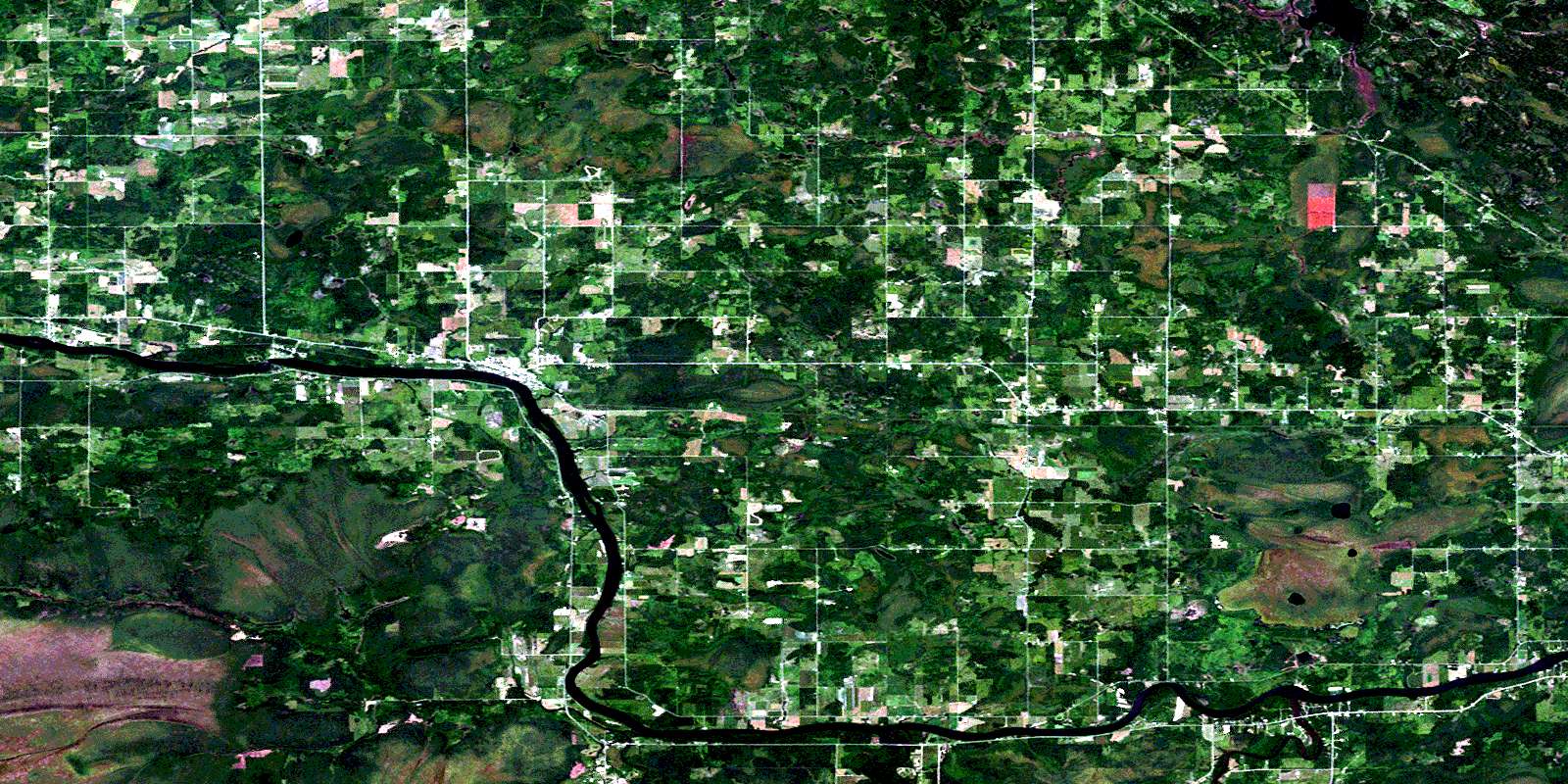
Emo Satellite Image Map
Download Free Aerial Photo 052C12 at 1:50,000 scale
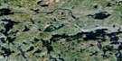
Emo Satellite Imagery
To view this satellite map, mouse over the air photo on the right.
You can also download this satellite image map for free:
052C12 Emo high-resolution satellite image map.
Maps for the Emo aerial map sheet 052C12 at 1:50,000 scale are also available in these versions:
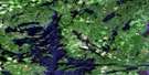
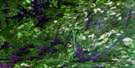
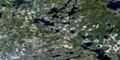
Emo Surrounding Area Aerial Photo Maps
 |
 |
 |
 |
 |
 |
 |
 |
 |
 |
||
© Department of Natural Resources Canada. All rights reserved.
Emo Gazetteer
The following places can be found on satellite image map 052C12 Emo:
Emo Satellite Image: Geographical areas
AylsworthBarwick
Burriss
Carpenter
Crozier
Dance
Devlin
Dobie
Kingsford
Lash
Mather
Miscampbell
Rainy River
Roddick
Roseberry
Shenston
Woodyatt
Emo Satellite Image: Indian Reserves
Manitou Rapids 11Manitou Rapids Indian Reserve 11
Réserve indienne Manitou Rapids 11
Emo Satellite Image: Islands
Conmee IslandWatrous Island
Emo Satellite Image: Lakes
Kehl LakeMud Lake
Wasaw Lake
Emo Satellite Image: Other municipal/district area - miscellaneous
AlbertonChapple
Emo
La Vallee
Emo Satellite Image: Rapids
Manitou RapidsEmo Satellite Image: Rivers
Boucher CreekEverett Creek
Frog Creek
Hayman Creek
Kitchen Creek
La Vallée River
Locking Creek
Lyon Creek
Manitou Creek
Mather I Creek
Mather II Creek
Rainy River
Rivière à la Pluie
Sims Creek
Sturgeon Creek
Wasaw Creek
Watson Creek
Wilson Creek
Wolf Creek
Emo Satellite Image: Unincorporated areas
AylsworthBarnhart
Barwick
Big Fork
Box Alder
Burriss
Chapple
Crozier
Dermid
Devlin
Emo
Isherwood
La Vallée
Lake Wasaw
Matherford
© Department of Natural Resources Canada. All rights reserved.
