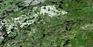
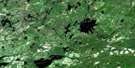
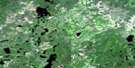
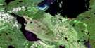
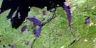
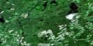
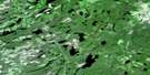
Armistice Lake Satellite Image Map
Download Free Aerial Photo 052H05 at 1:50,000 scale
Armistice Lake Satellite Imagery
To view this satellite map, mouse over the air photo on the right.
You can also download this satellite image map for free:
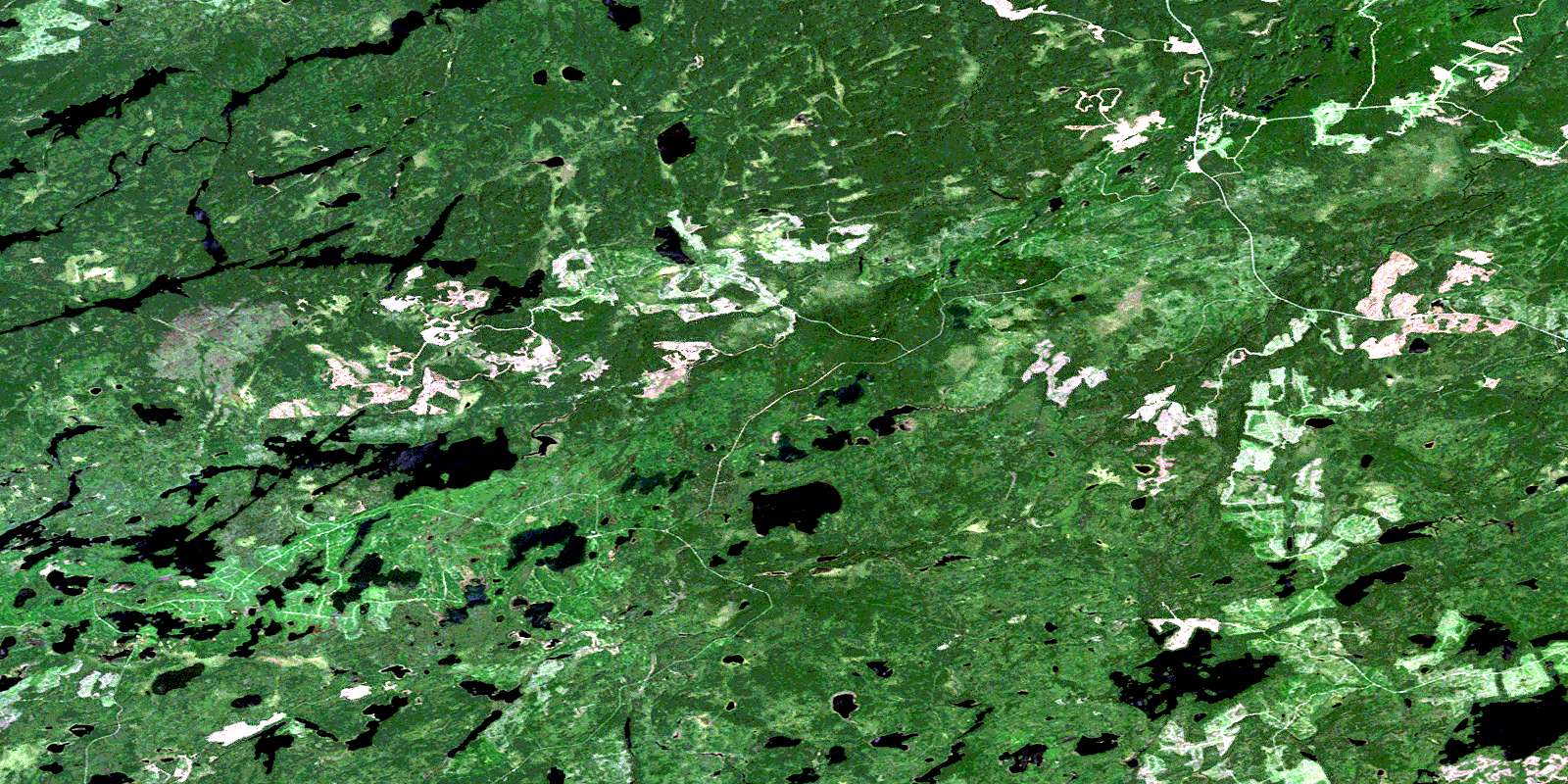
052H05 Armistice Lake high-resolution satellite image map.
Maps for the Armistice Lake aerial map sheet 052H05 at 1:50,000 scale are also available in these versions:
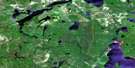
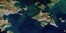
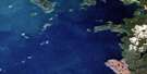
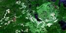
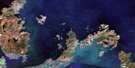
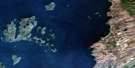
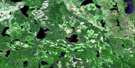
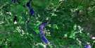
Armistice Lake Surrounding Area Aerial Photo Maps
 |
 |
 |
 |
 |
 |
 |
 |
 |
 |
 |
 |
 |
 |
 |
 |
© Department of Natural Resources Canada. All rights reserved.
Armistice Lake Gazetteer
The following places can be found on satellite image map 052H05 Armistice Lake:
Armistice Lake Satellite Image: Lakes
Almon LakeAmanda Lake
Annette Lake
Armistice Lake
Askwith Lake
Bo Lake
Bonnie Lake
Broddy Lake
Chisamore Lake
Coons Lake
Cressey Lake
Donnet Lake
Eleph Lake
Garden Lake
Gillin Lake
Granka Lake
Gull Lakes
Heaven Lake
Hellard Lake
Hettrick Lake
Hine Lake
Jack Lake
Kaiashk Lakes
Kingswood Lake
Koster Lake
MacMaster Lake
Magoffin Lake
McLay Lake
Mooseland Lake
Morin Lake
Pudney Lake
Roworth Lake
Sauerbrei Lake
Smart Lake
Tarrison Lakes
Tipe Lake
Tribble Lake
Twist Lake
Varney Lake
West Lacasse Lake
York Lake
Armistice Lake Satellite Image: Rivers
Armistice CreekCowan Creek
Dog River
East Dog River
Gull River
Heaven Creek
Jack Creek
Kabitotikwia River
Kaiashk River
Mooseland River
Rivière des Iles
Sauerbrei Creek
Whistle Creek
© Department of Natural Resources Canada. All rights reserved.
052H Related Maps:
052H Nipigon052H01 Nipigon
052H02 Shillabeer Lake
052H03 Eaglehead Lake
052H04 Lac Des Iles
052H05 Armistice Lake
052H06 Cheeseman Lake
052H07 Black Sturgeon Lake
052H08 Orient Bay
052H09 Shakespeare Island
052H10 Grand Bay
052H11 Kabitotikwia Lake
052H12 Holinshead Lake
052H13 Uneven Lake
052H14 Gull Bay
052H15 Kelvin Island
052H16 Livingstone Point
