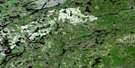
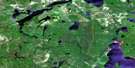
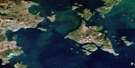
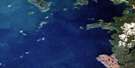
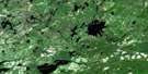
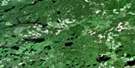
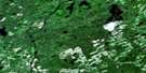
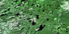
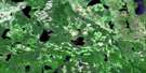
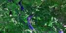
Black Sturgeon Lake Satellite Image Map
Download Free Aerial Photo 052H07 at 1:50,000 scale
Black Sturgeon Lake Satellite Imagery
To view this satellite map, mouse over the air photo on the right.
You can also download this satellite image map for free:
052H07 Black Sturgeon Lake high-resolution satellite image map.
Maps for the Black Sturgeon Lake aerial map sheet 052H07 at 1:50,000 scale are also available in these versions:
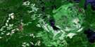
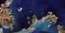
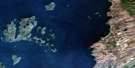
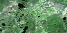
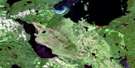
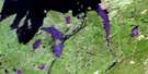
Black Sturgeon Lake Surrounding Area Aerial Photo Maps
 |
 |
 |
 |
 |
 |
 |
 |
 |
 |
 |
 |
 |
 |
 |
 |
© Department of Natural Resources Canada. All rights reserved.
Black Sturgeon Lake Gazetteer
The following places can be found on satellite image map 052H07 Black Sturgeon Lake:
Black Sturgeon Lake Satellite Image: Bays
Black Sturgeon BayJess' Harbour
Krug Bay
Long Point Bay
McIntyre Bay
Portage Bay
Robson Bay
Three Mount Bay
Twin Rivers
Black Sturgeon Lake Satellite Image: Capes
Breakwater PointLong Point
Mooney Point
Robson Point
Black Sturgeon Lake Satellite Image: Cliffs
Tchiatang BluffBlack Sturgeon Lake Satellite Image: Geographical areas
GraydonInnes
Thunder Bay
Black Sturgeon Lake Satellite Image: Islands
Asinab IslandBirch Island
Elgie Island
Faribault Island
Fletcher Island
Glover Island
Piwabik Island
Tommy's Island
Black Sturgeon Lake Satellite Image: Lakes
Agate LakeAlwyn Lake
Arrowhead Lake
Beaver Pond
Black Sturgeon Lake
Boomer Lake
Camper Lake
Canister Lake
Cedric Lake
Emerald Lake
Ferguson Lake
Frazer Lake
Gadsby Lake
Gavin Lake
Gelapa Lake
Graydon Lake
Ground Lake
Jam Lake
Jim Lake
Krug Lake
Lac Nipigon
Lake Nipigon
Linton Lake
McCann Lake
Meadow Lake
Metivier Lake
Mikinak Lake
Muskrat Lake
Nonwatin Lake
Olive Lake
Pavely Lake
Presland Lake
Pucker Lake
Ripple Lake
Roland Lake
Royle Lake
Sea Green Lake
Shaver Lake
Sing Lake
Swampy Lake
Three Mount Lake
Tweed Lake
Udell Lake
Wigwam Lake
Yule Lake
Black Sturgeon Lake Satellite Image: Conservation areas
Black Sturgeon River Provincial ParkBlack Sturgeon Lake Satellite Image: Rapids
Split RapidsBlack Sturgeon Lake Satellite Image: Rivers
Black Sturgeon RiverCamper Creek
Canister Creek
Circle Creek
Emerald Creek
Ferguson Creek
Jam Creek
Krug Creek
McCann Creek
Muskrat River
Nonwatin River
Owl Creek
Spruce River
Black Sturgeon Lake Satellite Image: Road features
Three Mountain PortageBlack Sturgeon Lake Satellite Image: Shoals
Joe's Rock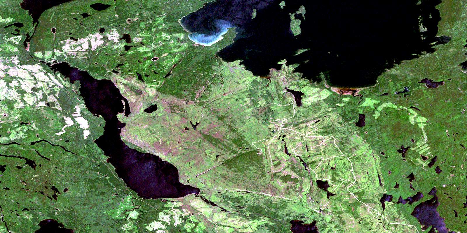
© Department of Natural Resources Canada. All rights reserved.
052H Related Maps:
052H Nipigon052H01 Nipigon
052H02 Shillabeer Lake
052H03 Eaglehead Lake
052H04 Lac Des Iles
052H05 Armistice Lake
052H06 Cheeseman Lake
052H07 Black Sturgeon Lake
052H08 Orient Bay
052H09 Shakespeare Island
052H10 Grand Bay
052H11 Kabitotikwia Lake
052H12 Holinshead Lake
052H13 Uneven Lake
052H14 Gull Bay
052H15 Kelvin Island
052H16 Livingstone Point
