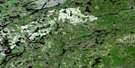
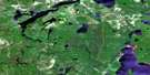
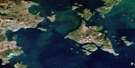
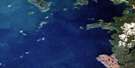
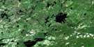
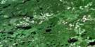
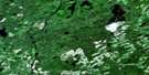
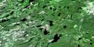
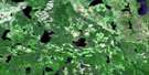
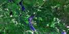
Orient Bay Satellite Image Map
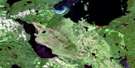
Download Free Aerial Photo 052H08 at 1:50,000 scale
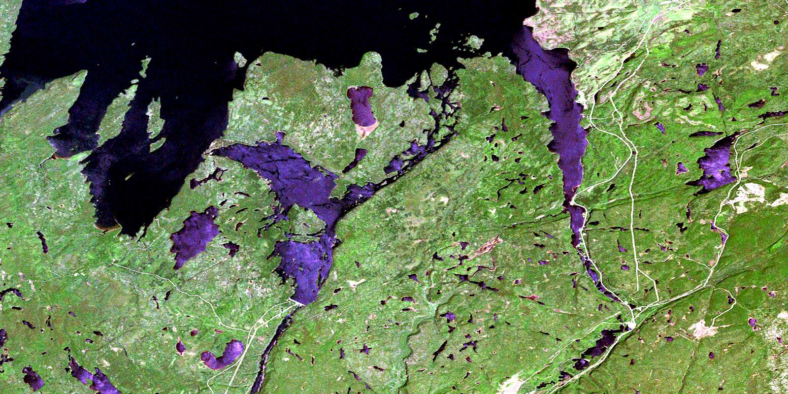
Orient Bay Satellite Imagery
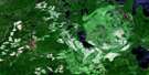
To view this satellite map, mouse over the air photo on the right.
You can also download this satellite image map for free:
052H08 Orient Bay high-resolution satellite image map.
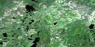
Maps for the Orient Bay aerial map sheet 052H08 at 1:50,000 scale are also available in these versions:
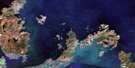
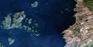
Orient Bay Surrounding Area Aerial Photo Maps
 |
 |
 |
 |
 |
 |
 |
 |
 |
 |
 |
 |
 |
 |
 |
 |
© Department of Natural Resources Canada. All rights reserved.
Orient Bay Gazetteer
The following places can be found on satellite image map 052H08 Orient Bay:
Orient Bay Satellite Image: Bays
Albert BayOrient Bay
Pijitawabik Bay
Pipestone Bay
South Bay
Three Mount Bay
Orient Bay Satellite Image: Capes
Bowerman PointChisel Point
Chisel Rock
Columbus Point
Cooke Point
Frenchmans Head
Long Point
Otter Head
Pipestone Point
Queen Anne Point
Three Mount Point
Orient Bay Satellite Image: Channels
The Devils ElbowOrient Bay Satellite Image: Cliffs
Pijitawabik PalisadesOrient Bay Satellite Image: Falls
Cascade FallsGorge Creek Falls
Little Cascade Falls
Virgin Falls
White Chute
Orient Bay Satellite Image: Geographical areas
KilkennyKitto
Thunder Bay
Orient Bay Satellite Image: Indian Reserves
Réserve indienne Rocky Bay 1Rocky Bay 1
Rocky Bay Indian Reserve 1
Orient Bay Satellite Image: Islands
Albert IslandBig Virgin Island
Channel Island
Fitzpatrick Island
Flag Island
Gypsy Island
Head Island
Jardine Island
Lighthouse Island
Little Virgin Island
Louise Island
McKee Island
Naonan Island
Pipestone Island
Prince Alfred Island
Prince of Wales Island
The Virgins
Treasure Island
Victoria Island
Orient Bay Satellite Image: Lakes
Aerial LakeAwning Lake
Beartrap Lake
Bernice Lake
Bonner Lake
Brouse Lake
Bullrush Lake
Corner Lake
Cox Lake
Coyne Lake
Dive Lake
Double Loon Lake
Downey Lake
Dump Lake
Elizabeth Lake
Emma Lake
Fen Lake
Forgan Lake
Francis Lake
Frill Lake
Froggy Lake
Gelapa Lake
Gorge Lake
Gull Rock Lake
Hannah Lake
Hausen Lake
Hetton Lake
Hynrick Lake
Jeem Lake
Keemle Lake
Lac Nipigon
Lake Nipigon
Leonard Lake
Little Bonner Lake
Little PostagoniLake
Lucky Lake
McAvay Lake
McAvay Lake
McKirdy Lake
North Oskawe Lake
North Sinclair Lake
Obie Lake
Odic Lake
Omer Lake
Ore Lake
Osier Lake
Oskawe Lake
Pack Lake
Padre Lake
Pain Lake
Palace Lake
Pawky Lake
Pennon Lake
Pester Lake
Pew Lake
Piper Lake
Postagoni Lake
Pot Lake
Reflection Lake
Screen Lake
Shadow Lake
Shamrock Lake
Shirley Lake
Sinclair Lake
Slipper Lake
Snell Lake
Stride Lake
Susie Lake
Udell Lake
Wanogu Lake
Orient Bay Satellite Image: Mountains
Green MountainKefkatikgwam Mountain
Kitchi Mountain
Lookout Mountain
Macdiarmid Hill
Mount Mackie
Mount McKirdy
Mount Muntar
Mount Norma
Natawnga Mountain
Reflection Mountain
Scott Mountain
Wasowko Mountain
Orient Bay Satellite Image: Other municipal/district area - miscellaneous
BeardmoreNakina
Orient Bay Satellite Image: Conservation areas
Lake Nipigon Provincial ParkNipigon Palisades Conservation Reserve
Orient Bay Satellite Image: Rapids
Devil RapidsLittle Devil Rapids
Miners Rapids
Rabbitt Rapids
Orient Bay Satellite Image: Rivers
Bonner CreekCash Creek
Cox Creek
Gelapa Creek
Gorge Creek
Hausen Creek
Jackfish River
Keemle Creek
Little Postagoni River
Nipigon River
Obie Creek
Ore Creek
Oskawe Creek
Phantom Creek
Postagoni River
Rivière Nipigon
Shadow Creek
Orient Bay Satellite Image: Road features
Flatrock PortageIsland Portage
Little Flatrock Portage
Long Portage
Pine Portage
Split Rock Portage
Orient Bay Satellite Image: Shoals
Seagull ReefOrient Bay Satellite Image: Towns
GreenstoneOrient Bay Satellite Image: Unincorporated areas
Cove InletEast McKirdy
Fairloch
Farlinger
Macdiarmid
McKirdy
Orient Bay
Pine Portage
© Department of Natural Resources Canada. All rights reserved.
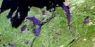
052H Related Maps:
052H Nipigon052H01 Nipigon
052H02 Shillabeer Lake
052H03 Eaglehead Lake
052H04 Lac Des Iles
052H05 Armistice Lake
052H06 Cheeseman Lake
052H07 Black Sturgeon Lake
052H08 Orient Bay
052H09 Shakespeare Island
052H10 Grand Bay
052H11 Kabitotikwia Lake
052H12 Holinshead Lake
052H13 Uneven Lake
052H14 Gull Bay
052H15 Kelvin Island
052H16 Livingstone Point
