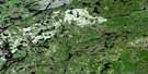
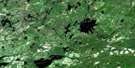
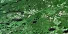
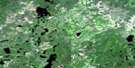
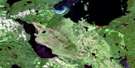
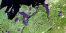
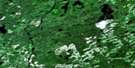
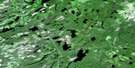
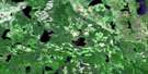
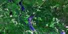
Nipigon Satellite Image Map
Download Free Aerial Photo 052H01 at 1:50,000 scale
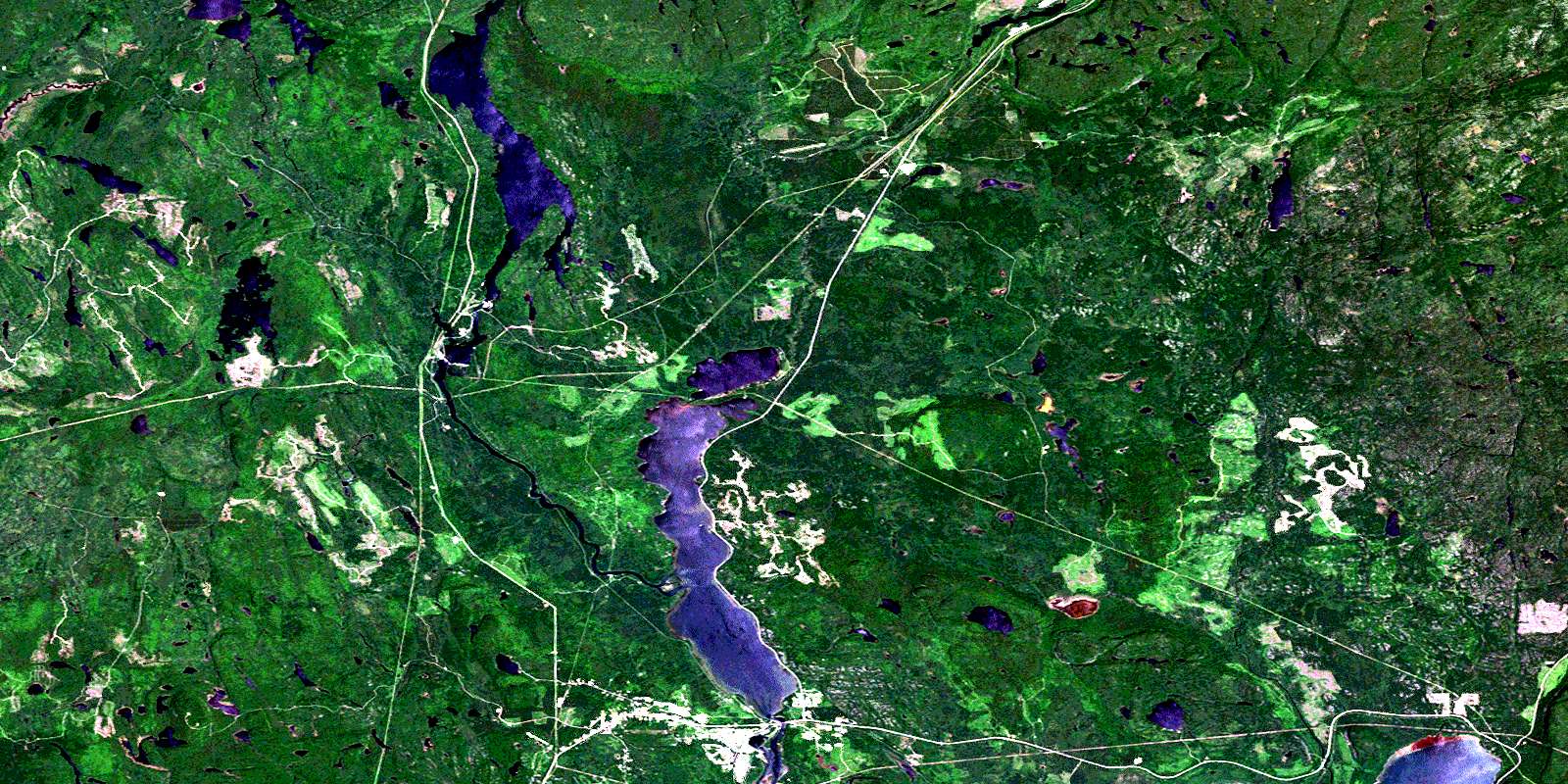
Nipigon Satellite Imagery
To view this satellite map, mouse over the air photo on the right.
You can also download this satellite image map for free:
052H01 Nipigon high-resolution satellite image map.
Maps for the Nipigon aerial map sheet 052H01 at 1:50,000 scale are also available in these versions:
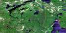
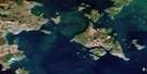
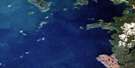
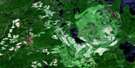
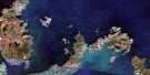
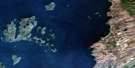
Nipigon Surrounding Area Aerial Photo Maps
 |
 |
 |
 |
 |
 |
 |
 |
 |
 |
 |
 |
 |
 |
 |
 |
© Department of Natural Resources Canada. All rights reserved.
Nipigon Gazetteer
The following places can be found on satellite image map 052H01 Nipigon:
Nipigon Satellite Image: Bays
Cameron's PoolDuncan Bay
East Arm
Fire Hill Bay
Frasier Bay
Indian Bay
Kama Bay
Mazokamah Bay
Mission Bay
Nipigon Bay
Otter Bay
Smith Bay
Steamboat Bay
Sulphite Bay
Nipigon Satellite Image: Geographical areas
9192
Booth
Church
Corrigal
Hele
Ledger
McIvor
Nipigon
Patience
Purdom
Nipigon Satellite Image: Indian Reserves
Lake Helen 53ALake Helen Indian Reserve 53A
Red Rock 53
Red Rock Indian Reserve 53
Réserve indienne Lake Helen 53A
Réserve indienne Red Rock 53
Nipigon Satellite Image: Lakes
Bach LakeBoom Lake
Bouchard Lake
Carlotta Lake
Chopper Lake
Cobley Lake
Deer Lake
Dolan Lake
Doze Lake
East Moseau Lake
Elizabeth Lake
Fire Hill Lake
Firehill Lake
Fournier Lake
Gretel Lake
Hansi Lake
Hanson Lake
Hawaiian Lake
Helen Lake
Hogan Lake
Ivan Lake
Jessie Lake
Lac Supérieur
Lake Superior
Limestone Lake
Little Moseau Lake
Lloyd Lake
Lofquist Lake
Malborne Lake
Male Lake
McIvor Lake
Meat Axe Lake
Mignet Lake
Miller Lake
Moseau Lake
No Good Lake
Polly Lake
Purdom Lake
Rains Lake
Second Hansi Lake
Shoepac Lake
Stillwater Lake
Stretton Lake
Susie Lake
The Lagoon
Tractor Lake
Wanogu Lake
Wee Polly Lake
Nipigon Satellite Image: Mountains
Cedar MountainDoghead Mountain
Fire Hill
Kama Hills
Nipigon Satellite Image: Other municipal/district area - miscellaneous
NipigonNipigon Satellite Image: Conservation areas
Kama Cliffs Conservation ReserveKama Hills Provincial Nature Reserve
Nipigon River Conservation Reserve
Ruby Lake Provincial Park
Nipigon Satellite Image: Rivers
Big Trout CreekBoom Creek
Booth Creek
Buckle Creek
Cash Creek
Clay Hill Creek
East Jackfish River
Fire Hill Creek
Firehill Creek
Frazer Creek
Gelapa Creek
Gretel Creek
Hanson Creek
Jackfish River
Limestone Creek
Little Trout Creek
Maki Creek
Meat Axe Creek
Mignet Creek
Moseau Creek
Nipigon River
North Trout Creek
Ozone Creek
Polly Creek
Purdom Creek
Rivière Nipigon
South Trout Creek
Stillwater Creek
Stretton Creek
Nipigon Satellite Image: Unincorporated areas
Cameron FallsFire Hill
Hogarth
Ivan
MacAskill
Mileage 56
Nipigon
Ozone
Paju
Parmacheene
© Department of Natural Resources Canada. All rights reserved.
052H Related Maps:
052H Nipigon052H01 Nipigon
052H02 Shillabeer Lake
052H03 Eaglehead Lake
052H04 Lac Des Iles
052H05 Armistice Lake
052H06 Cheeseman Lake
052H07 Black Sturgeon Lake
052H08 Orient Bay
052H09 Shakespeare Island
052H10 Grand Bay
052H11 Kabitotikwia Lake
052H12 Holinshead Lake
052H13 Uneven Lake
052H14 Gull Bay
052H15 Kelvin Island
052H16 Livingstone Point
