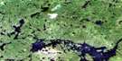
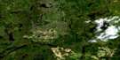
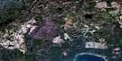
Wigwasan Lake Satellite Image Map
Download Free Aerial Photo 052I03 at 1:50,000 scale
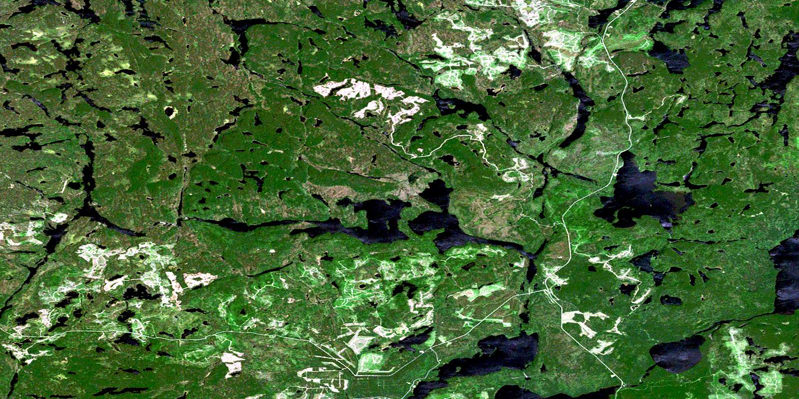
Wigwasan Lake Satellite Imagery
To view this satellite map, mouse over the air photo on the right.
You can also download this satellite image map for free:
052I03 Wigwasan Lake high-resolution satellite image map.
Maps for the Wigwasan Lake aerial map sheet 052I03 at 1:50,000 scale are also available in these versions:
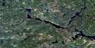
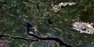
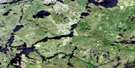
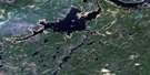
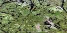
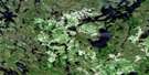
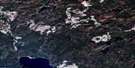
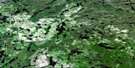
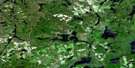
Wigwasan Lake Surrounding Area Aerial Photo Maps
 |
 |
 |
 |
 |
 |
 |
 |
 |
 |
 |
 |
 |
 |
 |
 |
© Department of Natural Resources Canada. All rights reserved.
Wigwasan Lake Gazetteer
The following places can be found on satellite image map 052I03 Wigwasan Lake:
Wigwasan Lake Satellite Image: Lakes
Altar LakeBoulder Lake
Bukemiga Lake
Clearwater Lake
Collins Lake
Crombie Lake
Curve Lake
Inspiration Lake
Kenakskaniss Lake
Kopka Lake
Machine Gun Lake
Mackenzie Lake
Maggotte Lake
Marrin Lake
Mattice Lake
McAuley Lake
McIntyre Lake
McKenzie Lake
McLaurin Lake
Mountain Lake
Mundell Lake
Nameiben Lake
Norwood Lake
Obonga Lake
Pillar Lake
Pishidgi Lake
Rushbay Lake
Shaw Lake
Shawanabis Lake
Sliver Lake
Spangle Lake
Tunnel Lake
Tuttle Lake
Vale Lake
Wabinosh Lake
Waweig Lake
Wigwasan Lake
Wigwasan Lake Satellite Image: Conservation areas
Kopka River Provincial ParkWabakimi Provincial Park
Wigwasan Lake Satellite Image: Rivers
Badwater CreekBurn Creek
Collins River
Kopka River
Vale Creek
Wabinosh River
Whalen River
Wigwasan Lake Satellite Image: Road features
Mink Bridge PortageMountain Portage
Rock Portage
© Department of Natural Resources Canada. All rights reserved.
052I Related Maps:
052I Armstrong052I01 Ombabika Bay
052I02 Castle Lake
052I03 Wigwasan Lake
052I04 Aldridge Lake
052I05 Onamakawash Lake
052I06 Armstrong
052I07 Pikitigushi Lake
052I08 Little Jackfish River
052I09 Mojikit Lake
052I10 Linklater Lake
052I11 Goldsborough Lake
052I12 Wabakimi Lake
052I13 Burntrock Lake
052I14 Grayson Lake
052I15 Whiteclay Lake
052I16 D'Orsonnens Lake
