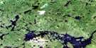
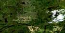
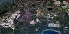
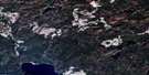
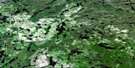
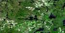
Armstrong Satellite Image Map
Download Free Aerial Photo 052I06 at 1:50,000 scale
Armstrong Satellite Imagery
To view this satellite map, mouse over the air photo on the right.
You can also download this satellite image map for free:
052I06 Armstrong high-resolution satellite image map.
Maps for the Armstrong aerial map sheet 052I06 at 1:50,000 scale are also available in these versions:
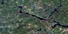
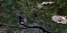
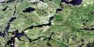
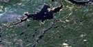
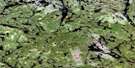
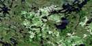
Armstrong Surrounding Area Aerial Photo Maps
 |
 |
 |
 |
 |
 |
 |
 |
 |
 |
 |
 |
 |
 |
 |
 |
© Department of Natural Resources Canada. All rights reserved.
Armstrong Gazetteer
The following places can be found on satellite image map 052I06 Armstrong:
Armstrong Satellite Image: Bays
Alphonse BayGarden Bay
Outlet Bay
Outlet Bay
Scow Bay
Armstrong Satellite Image: Capes
Fred's PointArmstrong Satellite Image: Indian Reserves
Réserve indienne WhitesandWhitesand
Armstrong Satellite Image: Islands
Beaver IslandCove Island
Green Island
Saturday Island
The Five Islands
Armstrong Satellite Image: Lakes
Armstrong LakeBadwater Lake
Bath Lake
Big Lake
Black Lake
Canon Lake
Caribou Lake
Chief Lake
Clearwater Lake
Collins Lake
Doe Lake
Fawn Lake
Frog Lake
Gibson Lake
Gnome Lake
Haig Lake
Harvey Lake
Lindholm Lake
Little Caribou Lake
Mackenzie Lake
Mattice Lake
McKenzie Lake
Narrows Lake
Octopus Lake
Red Granite Lake
Rocky Island Lake
Secord Lake
Shawanabis Lake
Smoothrock Lake
Spring Lake
Tamarack Lake
Tower Lake
Track Lake
Trail Lake
Tunnel Lake
Upper Badwater Lake
Upper Secord Lake
Armstrong Satellite Image: Conservation areas
Wabakimi Provincial ParkArmstrong Satellite Image: Rapids
Boiling Sand RapidsArmstrong Satellite Image: Rivers
Badwater CreekBoiling Sand River
Burn Creek
Caribou River
Morris Creek
Rocky Island Creek
Secord Creek
Vale Creek
Wabinosh River
Armstrong Satellite Image: Road features
Prairie PortageArmstrong Satellite Image: Unincorporated areas
ArmstrongArmstrong Station
Collins
Onaping
Pascopee
Armstrong Satellite Image: Villages
Armstrong Station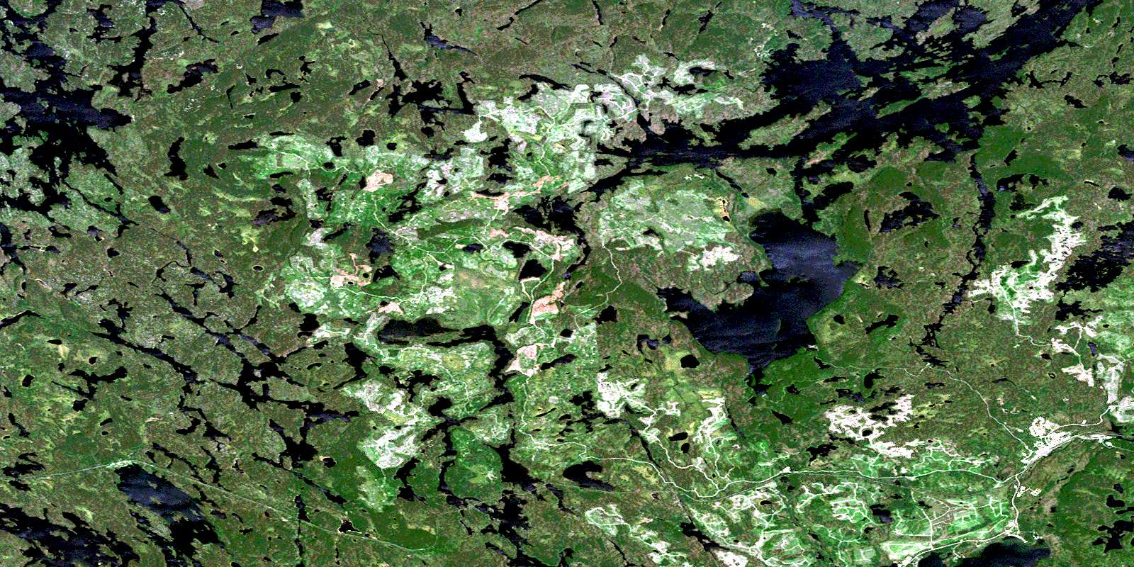
© Department of Natural Resources Canada. All rights reserved.
052I Related Maps:
052I Armstrong052I01 Ombabika Bay
052I02 Castle Lake
052I03 Wigwasan Lake
052I04 Aldridge Lake
052I05 Onamakawash Lake
052I06 Armstrong
052I07 Pikitigushi Lake
052I08 Little Jackfish River
052I09 Mojikit Lake
052I10 Linklater Lake
052I11 Goldsborough Lake
052I12 Wabakimi Lake
052I13 Burntrock Lake
052I14 Grayson Lake
052I15 Whiteclay Lake
052I16 D'Orsonnens Lake
