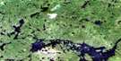
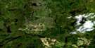
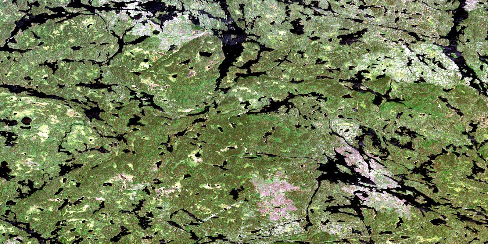
Onamakawash Lake Satellite Image Map
Download Free Aerial Photo 052I05 at 1:50,000 scale
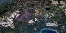
Onamakawash Lake Satellite Imagery
To view this satellite map, mouse over the air photo on the right.
You can also download this satellite image map for free:
052I05 Onamakawash Lake high-resolution satellite image map.
Maps for the Onamakawash Lake aerial map sheet 052I05 at 1:50,000 scale are also available in these versions:
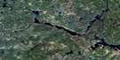
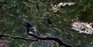
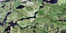
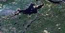
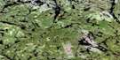
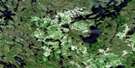
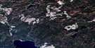
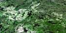
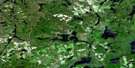
Onamakawash Lake Surrounding Area Aerial Photo Maps
 |
 |
 |
 |
 |
 |
 |
 |
 |
 |
 |
 |
 |
 |
 |
 |
© Department of Natural Resources Canada. All rights reserved.
Onamakawash Lake Gazetteer
The following places can be found on satellite image map 052I05 Onamakawash Lake:
Onamakawash Lake Satellite Image: Falls
Brennan FallsOnamakawash Lake Satellite Image: Lakes
Baldhead LakeBallast Lake
Beagle Lake
Berry Lake
Black Bear Lake
Brennan Lake
Cache Lake
Change Lake
Chipmunk Lake
Dagger Lake
Elf Lake
Granite Lake
Hallot Lake
Jeep Lake
Kawa Lake
Mystery Lake
Onamakawash Lake
Osprey Lake
Otter Bluff Lake
Redhead Lake
Sacred Lake
Shawanabis Lake
Smoothrock Lake
Snake Lake
Spring Lake
Surprise Lake
Ted Lake
Tempest Lake
Van Ness Lake
Windfall Lake
Onamakawash Lake Satellite Image: Conservation areas
Wabakimi Provincial ParkOnamakawash Lake Satellite Image: Rivers
Ballast CreekBerry Creek
Lookout River
Nemo River
Secord Creek
Onamakawash Lake Satellite Image: Unincorporated areas
Fee SpurOgaki
© Department of Natural Resources Canada. All rights reserved.
052I Related Maps:
052I Armstrong052I01 Ombabika Bay
052I02 Castle Lake
052I03 Wigwasan Lake
052I04 Aldridge Lake
052I05 Onamakawash Lake
052I06 Armstrong
052I07 Pikitigushi Lake
052I08 Little Jackfish River
052I09 Mojikit Lake
052I10 Linklater Lake
052I11 Goldsborough Lake
052I12 Wabakimi Lake
052I13 Burntrock Lake
052I14 Grayson Lake
052I15 Whiteclay Lake
052I16 D'Orsonnens Lake
